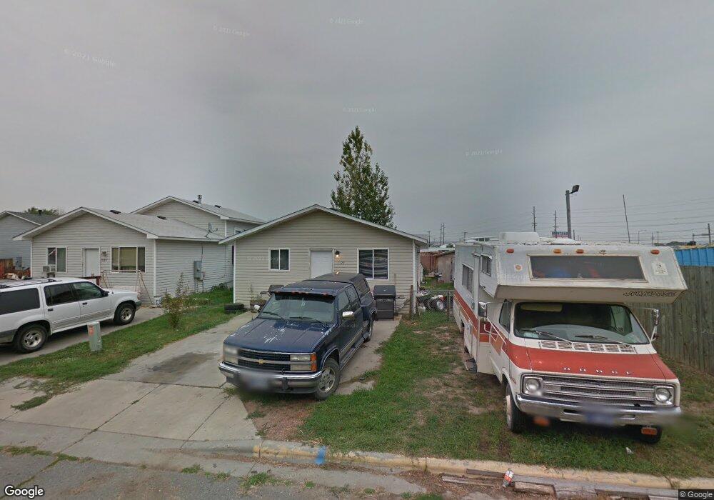
1125 Rays Ln Billings, MT 59101
East Central Billings NeighborhoodEstimated Value: $222,000 - $252,000
2
Beds
1
Bath
864
Sq Ft
$277/Sq Ft
Est. Value
About This Home
This home is located at 1125 Rays Ln, Billings, MT 59101 and is currently estimated at $239,105, approximately $276 per square foot. 1125 Rays Ln is a home located in Yellowstone County with nearby schools including Washington School, Lewis & Clark Junior High School, and Billings West High School.
Ownership History
Date
Name
Owned For
Owner Type
Purchase Details
Closed on
Jul 14, 2023
Sold by
North Elevation Llc
Bought by
Miller Brandy
Current Estimated Value
Home Financials for this Owner
Home Financials are based on the most recent Mortgage that was taken out on this home.
Original Mortgage
$198,850
Outstanding Balance
$193,313
Interest Rate
6.79%
Mortgage Type
New Conventional
Estimated Equity
$45,792
Purchase Details
Closed on
Sep 19, 2022
Sold by
Cascade Property Investments Llc
Bought by
North Elevation Llc
Purchase Details
Closed on
Feb 17, 2022
Sold by
Frederick Krosch Thomas
Bought by
Anderson Jeanetamarie and Palmer Jaimie Lynn
Purchase Details
Closed on
Sep 17, 2007
Sold by
Krosch Neta Marie
Bought by
Krosch Thomas Frederick
Create a Home Valuation Report for This Property
The Home Valuation Report is an in-depth analysis detailing your home's value as well as a comparison with similar homes in the area
Home Values in the Area
Average Home Value in this Area
Purchase History
| Date | Buyer | Sale Price | Title Company |
|---|---|---|---|
| Miller Brandy | -- | Chicago Title | |
| North Elevation Llc | -- | -- | |
| Anderson Jeanetamarie | -- | None Listed On Document | |
| Krosch Thomas Frederick | -- | None Available |
Source: Public Records
Mortgage History
| Date | Status | Borrower | Loan Amount |
|---|---|---|---|
| Open | Miller Brandy | $198,850 |
Source: Public Records
Tax History
| Year | Tax Paid | Tax Assessment Tax Assessment Total Assessment is a certain percentage of the fair market value that is determined by local assessors to be the total taxable value of land and additions on the property. | Land | Improvement |
|---|---|---|---|---|
| 2025 | $1,912 | $227,600 | $38,129 | $189,471 |
| 2024 | $1,912 | $196,300 | $37,216 | $159,084 |
| 2023 | $1,653 | $163,200 | $37,216 | $125,984 |
| 2022 | $1,424 | $122,185 | $0 | $0 |
| 2021 | $1,760 | $160,500 | $0 | $0 |
| 2020 | $1,733 | $152,900 | $0 | $0 |
| 2019 | $1,655 | $152,900 | $0 | $0 |
| 2018 | $1,566 | $141,500 | $0 | $0 |
| 2017 | $1,521 | $141,500 | $0 | $0 |
| 2016 | $1,447 | $136,100 | $0 | $0 |
| 2015 | $1,414 | $136,100 | $0 | $0 |
| 2014 | $1,275 | $64,765 | $0 | $0 |
Source: Public Records
Map
Nearby Homes
- 226 Moore Ln
- 1216 Harney Dr
- 1204 Eldorado Dr
- 1216 Eldorado Dr
- 43 Prickett Ln
- 307 S Billings Blvd Unit 24
- 307 S Billings Blvd Unit 36
- 1205 Lynn Ave
- 1132 Saint Johns Ave
- 1245 Cook Ave
- 947 Howard Ave
- 4530 Lux Ave
- 1120 Miles Ave
- 605 Calhoun Ln
- 632 Saint Johns Ave Unit 8
- 4531 Phillip St
- 937 Miles Ave
- 925 Miles Ave
- 4444 Morgan Ave
- 4429 Clevenger Ave
Your Personal Tour Guide
Ask me questions while you tour the home.