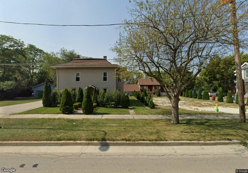
1125 S State St Lockport, IL 60441
--
Bed
--
Bath
--
Sq Ft
7,405
Sq Ft Lot
About This Home
This home is located at 1125 S State St, Lockport, IL 60441. 1125 S State St is a home located in Will County with nearby schools including Milne Grove Elementary School, Kelvin Grove Jr High School, and Lockport Township High School East.
Ownership History
Date
Name
Owned For
Owner Type
Purchase Details
Closed on
Feb 20, 2020
Sold by
Bailey William A and Canal Street Self Storage Inc
Bought by
Perkins Kevin
Purchase Details
Closed on
Oct 22, 2018
Sold by
Bailey James C
Bought by
Canal Street Self Storage Inc
Purchase Details
Closed on
Mar 2, 2009
Sold by
Founders Bank
Bought by
Bailey James C and Bailey William A
Create a Home Valuation Report for This Property
The Home Valuation Report is an in-depth analysis detailing your home's value as well as a comparison with similar homes in the area
Home Values in the Area
Average Home Value in this Area
Purchase History
| Date | Buyer | Sale Price | Title Company |
|---|---|---|---|
| Perkins Kevin | $120,000 | First American Title | |
| Canal Street Self Storage Inc | $100,000 | Attorney | |
| Bailey James C | -- | None Available |
Source: Public Records
Tax History Compared to Growth
Tax History
| Year | Tax Paid | Tax Assessment Tax Assessment Total Assessment is a certain percentage of the fair market value that is determined by local assessors to be the total taxable value of land and additions on the property. | Land | Improvement |
|---|---|---|---|---|
| 2024 | $5,315 | $61,909 | $18,924 | $42,985 |
| 2023 | $5,315 | $61,909 | $18,924 | $42,985 |
| 2022 | $5,699 | $61,909 | $18,924 | $42,985 |
| 2021 | $5,770 | $61,909 | $18,924 | $42,985 |
| 2020 | $5,828 | $61,909 | $18,924 | $42,985 |
| 2019 | $5,863 | $61,909 | $18,924 | $42,985 |
| 2018 | $6,006 | $61,909 | $18,924 | $42,985 |
| 2017 | $6,152 | $61,909 | $18,924 | $42,985 |
| 2016 | $6,311 | $61,909 | $18,924 | $42,985 |
| 2015 | $6,277 | $61,909 | $18,924 | $42,985 |
| 2014 | $6,277 | $57,323 | $17,522 | $39,801 |
| 2013 | $6,277 | $57,323 | $17,522 | $39,801 |
Source: Public Records
Map
Nearby Homes
- 1016 S State St
- 200 E 11th St
- 1326 S Washington St
- 1006 S Jefferson St
- 814 S Washington St
- 1410 Lawrence Ave
- 800 Madison St Unit 2C
- 1111 S Lincoln St
- 135 W 18th St
- 1107 Garfield St
- 560 E 7th St
- 1513 Connor Ave
- 1935 S Hamilton St
- 1623 East St
- 206 Daggett Ave
- 117 Daggett Ave
- 516 Whelan St
- 219 S Washington St
- 2004 Boehme St
- 2100 S Washington St
- 1129 S State St
- 1109 S State St
- 1109 S State St Unit 2S
- 1128 Commerce St
- 1113 S State St
- 1101 S State St
- 1141 S State St
- 1106 S State St
- 105 E 11th St Unit 2
- 1128 S State St
- 1201 S State St
- 1201 S State St Unit 1N
- 1201 S State St Unit 2
- 1201 S State St Unit 3
- 1122 S State St
- 1025 S State St
- 200 W 11th St Unit 1-SE
- 200 W 11th St Unit GARDEN
- 200 W 11th St Unit 2SW
- 1200 S State St