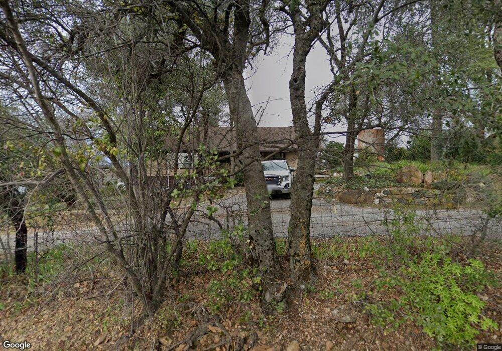
11259 Scofield Way Auburn, CA 95603
Northwest Auburn NeighborhoodEstimated Value: $476,000 - $725,773
3
Beds
1
Bath
1,536
Sq Ft
$389/Sq Ft
Est. Value
About This Home
This home is located at 11259 Scofield Way, Auburn, CA 95603 and is currently estimated at $597,924, approximately $389 per square foot. 11259 Scofield Way is a home located in Placer County with nearby schools including Auburn Elementary School, Placer High School, and Bowman Charter School.
Ownership History
Date
Name
Owned For
Owner Type
Purchase Details
Closed on
Feb 8, 2023
Sold by
Raught Trust
Bought by
Christensen Susan G
Current Estimated Value
Home Financials for this Owner
Home Financials are based on the most recent Mortgage that was taken out on this home.
Original Mortgage
$300,000
Outstanding Balance
$290,587
Interest Rate
6.33%
Mortgage Type
New Conventional
Estimated Equity
$307,337
Purchase Details
Closed on
Feb 23, 1995
Sold by
Raught Muriel L
Bought by
Raught Muriel L
Create a Home Valuation Report for This Property
The Home Valuation Report is an in-depth analysis detailing your home's value as well as a comparison with similar homes in the area
Home Values in the Area
Average Home Value in this Area
Purchase History
| Date | Buyer | Sale Price | Title Company |
|---|---|---|---|
| Christensen Susan G | $294,000 | Fidelity National Title | |
| Raught Muriel L | -- | -- |
Source: Public Records
Mortgage History
| Date | Status | Borrower | Loan Amount |
|---|---|---|---|
| Open | Christensen Susan G | $300,000 |
Source: Public Records
Tax History Compared to Growth
Tax History
| Year | Tax Paid | Tax Assessment Tax Assessment Total Assessment is a certain percentage of the fair market value that is determined by local assessors to be the total taxable value of land and additions on the property. | Land | Improvement |
|---|---|---|---|---|
| 2025 | $4,529 | $414,246 | $116,000 | $298,246 |
| 2023 | $4,529 | $69,015 | $14,594 | $54,421 |
| 2022 | $867 | $67,662 | $14,308 | $53,354 |
| 2021 | $840 | $66,336 | $14,028 | $52,308 |
| 2020 | $760 | $65,657 | $13,885 | $51,772 |
| 2019 | $746 | $64,370 | $13,613 | $50,757 |
| 2018 | $711 | $63,109 | $13,347 | $49,762 |
| 2017 | $698 | $61,873 | $13,086 | $48,787 |
| 2016 | $684 | $60,661 | $12,830 | $47,831 |
| 2015 | $669 | $59,751 | $12,638 | $47,113 |
| 2014 | $659 | $58,582 | $12,391 | $46,191 |
Source: Public Records
Map
Nearby Homes
- 11300 Kemper Rd
- 11525 Stonebrook Dr
- 2202 Corral Dr
- 2620 Vineyard Dr
- 10455 Mount Vernon Rd
- 11701 Jones St
- 11765 Jones St
- 12762-Lot 204 Masters Ct
- 2660 Commons Place
- 2650 Commons Place
- 2690 Commons Place
- 0 Luther Rd Unit 225025160
- 2285 Indian Rock Ln
- 12265 New Airport Rd
- 3222 Fortune Ct
- 2667 Commons Place
- 2677 Commons Place
- 2540 Grass Valley Hwy Unit SP 12
- 2540 Grass Valley Hwy Unit 27
- 2540 Grass Valley Hwy Unit 75
- 11260 Scofield Way
- 11204 Kemper Rd
- 11245 Scofield Way
- 11265 Scofield Way
- 11200 Kemper Rd
- 2435 Bean Rd
- 11215 Scofield Way
- 0 Scofield Way
- 11240 Scofield Way
- 11220 Scofield Way
- 11210 Scofield Way
- 11230 Kemper Rd
- 11280 Scofield Way
- 11210 Kemper Rd
- 2425 Bean Rd
- 2427 Bean Rd
- 11300 Scofield Way
- 11296 Bosal Cir
- 11290 Bosal Cir
- 11286 Bosal Cir