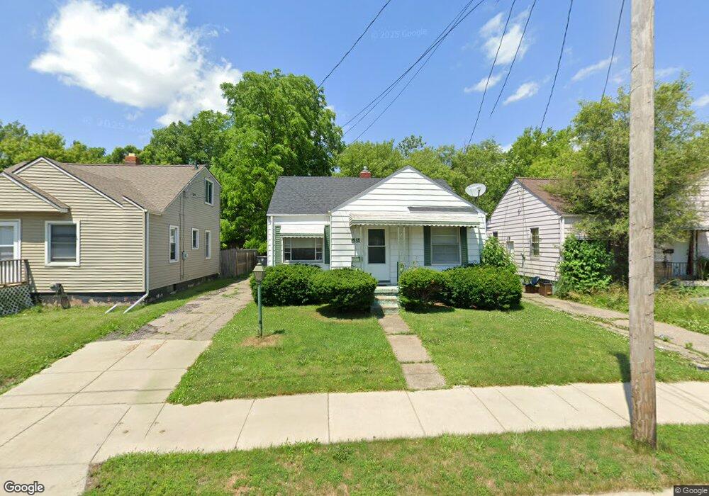
1126 W Atherton Rd Flint, MI 48507
South Side NeighborhoodEstimated Value: $43,000 - $62,000
2
Beds
1
Bath
732
Sq Ft
$69/Sq Ft
Est. Value
About This Home
This home is located at 1126 W Atherton Rd, Flint, MI 48507 and is currently estimated at $50,194, approximately $68 per square foot. 1126 W Atherton Rd is a home located in Genesee County with nearby schools including Neithercut Elementary School, Flint Southwestern Classical Academy, and International Academy of Flint (K-12).
Ownership History
Date
Name
Owned For
Owner Type
Purchase Details
Closed on
Jun 10, 2003
Sold by
Tebo David
Bought by
Tebo David and Tebo Anita
Current Estimated Value
Home Financials for this Owner
Home Financials are based on the most recent Mortgage that was taken out on this home.
Original Mortgage
$31,100
Outstanding Balance
$13,623
Interest Rate
5.78%
Mortgage Type
New Conventional
Estimated Equity
$36,571
Purchase Details
Closed on
Jun 26, 2002
Sold by
Citimortgage Inc
Bought by
Hud
Purchase Details
Closed on
Jan 23, 2002
Sold by
Landry John W
Bought by
Citimortgage Inc
Create a Home Valuation Report for This Property
The Home Valuation Report is an in-depth analysis detailing your home's value as well as a comparison with similar homes in the area
Home Values in the Area
Average Home Value in this Area
Purchase History
| Date | Buyer | Sale Price | Title Company |
|---|---|---|---|
| Tebo David | -- | Guaranty Title Company | |
| Tebo David | $34,560 | Guaranty Title Company | |
| Hud | -- | -- | |
| Citimortgage Inc | $56,044 | -- |
Source: Public Records
Mortgage History
| Date | Status | Borrower | Loan Amount |
|---|---|---|---|
| Open | Tebo David | $31,100 |
Source: Public Records
Tax History Compared to Growth
Tax History
| Year | Tax Paid | Tax Assessment Tax Assessment Total Assessment is a certain percentage of the fair market value that is determined by local assessors to be the total taxable value of land and additions on the property. | Land | Improvement |
|---|---|---|---|---|
| 2025 | $917 | $14,900 | $0 | $0 |
| 2024 | $854 | $15,100 | $0 | $0 |
| 2023 | $839 | $12,700 | $0 | $0 |
| 2022 | $0 | $10,800 | $0 | $0 |
| 2021 | $848 | $9,500 | $0 | $0 |
| 2020 | $785 | $7,900 | $0 | $0 |
| 2019 | $832 | $8,700 | $0 | $0 |
| 2018 | $903 | $11,600 | $0 | $0 |
| 2017 | $880 | $0 | $0 | $0 |
| 2016 | $874 | $0 | $0 | $0 |
| 2015 | -- | $0 | $0 | $0 |
| 2014 | -- | $0 | $0 | $0 |
| 2012 | -- | $12,000 | $0 | $0 |
Source: Public Records
Map
Nearby Homes
- 1130 W Atherton Rd
- 1225 Waldman Ave
- 1028 Campbell St
- 1228 Leland St
- 1209 Lincoln Ave
- 1410 Berrywood Ln
- 1212 Crawford St
- 1225 Vermilya Ave
- 1418 Blueberry Ln
- 1523 Waldman Ave
- 936 Lincoln Ave
- 1234 Huron St
- 1015 Alvord Ave
- 1310 Huron St
- 1318 Ingleside Ave
- 822 Campbell St
- 1031 Ingleside Ave
- 1210 Pinehurst Ave
- 1902 Crestbrook Ln
- 1314 Pinehurst Ave
- 1122 W Atherton Rd
- 1134 W Atherton Rd
- 1125 Waldman Ave
- 1113 Waldman Ave
- 1117 Waldman Ave
- 1121 Waldman Ave
- 1129 Waldman Ave
- 1138 W Atherton Rd
- 1114 W Atherton Rd
- 1133 Waldman Ave
- 1137 Waldman Ave
- 1129 W Atherton Rd
- 1125 W Atherton Rd
- 1110 W Atherton Rd
- 1117 W Atherton Rd
- 1105 Waldman Ave
- 1201 W Atherton Rd
- 1202 W Atherton Rd
- 1102 W Atherton Rd
- 1113 W Atherton Rd