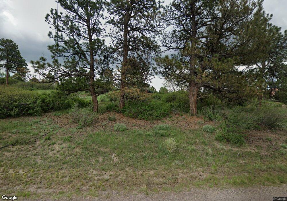
11260 Cardinal Dr Parker, CO 80138
Estimated Value: $860,615 - $986,000
3
Beds
4
Baths
2,449
Sq Ft
$377/Sq Ft
Est. Value
About This Home
This home is located at 11260 Cardinal Dr, Parker, CO 80138 and is currently estimated at $922,654, approximately $376 per square foot. 11260 Cardinal Dr is a home located in Douglas County with nearby schools including Pine Lane Elementary School, Sierra Middle School, and Chaparral High School.
Ownership History
Date
Name
Owned For
Owner Type
Purchase Details
Closed on
Aug 1, 2003
Sold by
Michael Hossam G and Hofland Mary Lu
Bought by
Michael Sam G and Hofland Mary Lu
Current Estimated Value
Home Financials for this Owner
Home Financials are based on the most recent Mortgage that was taken out on this home.
Original Mortgage
$252,000
Outstanding Balance
$107,895
Interest Rate
5.24%
Mortgage Type
Unknown
Estimated Equity
$814,759
Purchase Details
Closed on
Dec 12, 2000
Sold by
Michael Hossam G
Bought by
Michael Hossam G and Hofland Mary Lu
Purchase Details
Closed on
Jul 30, 1998
Sold by
Jackson John H and Jackson Anne M
Bought by
Michael Hossam G
Home Financials for this Owner
Home Financials are based on the most recent Mortgage that was taken out on this home.
Original Mortgage
$218,875
Interest Rate
6.94%
Purchase Details
Closed on
Oct 18, 1978
Sold by
Unavailable
Bought by
Unavailable
Create a Home Valuation Report for This Property
The Home Valuation Report is an in-depth analysis detailing your home's value as well as a comparison with similar homes in the area
Home Values in the Area
Average Home Value in this Area
Purchase History
| Date | Buyer | Sale Price | Title Company |
|---|---|---|---|
| Michael Sam G | -- | Security Title | |
| Michael Hossam G | -- | -- | |
| Michael Hossam G | $257,500 | Land Title | |
| Unavailable | $11,000 | -- |
Source: Public Records
Mortgage History
| Date | Status | Borrower | Loan Amount |
|---|---|---|---|
| Open | Michael Sam G | $252,000 | |
| Closed | Michael Hossam G | $218,875 |
Source: Public Records
Tax History Compared to Growth
Tax History
| Year | Tax Paid | Tax Assessment Tax Assessment Total Assessment is a certain percentage of the fair market value that is determined by local assessors to be the total taxable value of land and additions on the property. | Land | Improvement |
|---|---|---|---|---|
| 2024 | $3,924 | $57,400 | $30,850 | $26,550 |
| 2023 | $3,967 | $57,400 | $30,850 | $26,550 |
| 2022 | $2,941 | $43,400 | $20,430 | $22,970 |
| 2021 | $3,062 | $43,400 | $20,430 | $22,970 |
| 2020 | $3,450 | $42,060 | $17,170 | $24,890 |
| 2019 | $3,463 | $42,060 | $17,170 | $24,890 |
| 2018 | $3,236 | $38,620 | $14,710 | $23,910 |
| 2017 | $2,995 | $38,620 | $14,710 | $23,910 |
| 2016 | $2,735 | $34,530 | $15,120 | $19,410 |
| 2015 | $1,402 | $34,530 | $15,120 | $19,410 |
| 2014 | $1,337 | $29,430 | $12,340 | $17,090 |
Source: Public Records
Map
Nearby Homes
- 7372 Talon Trail
- 11001 Cardinal Dr
- 7390 Sagebrush Dr
- 20781 Parker Vista Cir
- 7285 Sagebrush Dr
- 21770 Mount Elbert Place
- 20720 Parker Vista Rd
- 7330 Centennial Dr
- 10760 Mount Antero Way
- 8092 Ponderosa Ln
- 20012 Briarwood Ct
- 21822 Longs Peak Ln
- 10730 Foxwood Ct
- 11865 Barrentine Loop
- 19812 Rosewood Ct
- 11818 Barrentine Loop
- 21807 Silver Meadow Cir
- 10851 Summerset Way
- 21796 Silver Meadow Ln
- 19636 Victorian Dr Unit B5
- 11196 Cardinal Dr
- 11324 Cardinal Dr
- 11195 Cardinal Dr
- 11273 Canary Ln
- 11259 Cardinal Dr
- 11152 Cardinal Dr
- 11268 Canary Ln
- 11319 Canary Ln
- 11285 Cardinal Dr
- 11325 Cardinal Dr
- 11392 Cardinal Dr
- 11385 Cardinal Dr
- 11139 Cardinal Dr
- 7613 Lark Dr
- 11270 Canary Ln
- 11346 Canary Ln
- 11095 Cardinal Dr
- 11304 Canary Ln
- 7745 E Robin Rd
- 7530 E Robin Rd
