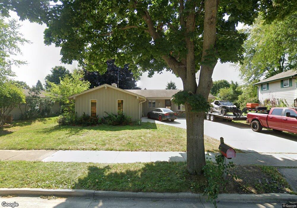
1127 Hemlock Ln Waukesha, WI 53189
Estimated Value: $356,000 - $400,000
3
Beds
2
Baths
1,186
Sq Ft
$317/Sq Ft
Est. Value
About This Home
This home is located at 1127 Hemlock Ln, Waukesha, WI 53189 and is currently estimated at $375,463, approximately $316 per square foot. 1127 Hemlock Ln is a home located in Waukesha County with nearby schools including Prairie Elementary School, Les Paul Middle School - Central Campus, and West High School.
Ownership History
Date
Name
Owned For
Owner Type
Purchase Details
Closed on
May 18, 2018
Sold by
Letts Glenn T and Letts Karen R
Bought by
Letts Christopher D
Current Estimated Value
Home Financials for this Owner
Home Financials are based on the most recent Mortgage that was taken out on this home.
Original Mortgage
$160,000
Outstanding Balance
$138,081
Interest Rate
4.5%
Mortgage Type
New Conventional
Estimated Equity
$237,382
Create a Home Valuation Report for This Property
The Home Valuation Report is an in-depth analysis detailing your home's value as well as a comparison with similar homes in the area
Home Values in the Area
Average Home Value in this Area
Purchase History
| Date | Buyer | Sale Price | Title Company |
|---|---|---|---|
| Letts Christopher D | $202,000 | Proactive Title Solutions Ll |
Source: Public Records
Mortgage History
| Date | Status | Borrower | Loan Amount |
|---|---|---|---|
| Open | Letts Christopher D | $160,000 |
Source: Public Records
Tax History Compared to Growth
Tax History
| Year | Tax Paid | Tax Assessment Tax Assessment Total Assessment is a certain percentage of the fair market value that is determined by local assessors to be the total taxable value of land and additions on the property. | Land | Improvement |
|---|---|---|---|---|
| 2024 | $4,773 | $322,200 | $73,200 | $249,000 |
| 2023 | $4,640 | $322,200 | $73,200 | $249,000 |
| 2022 | $4,302 | $225,200 | $69,500 | $155,700 |
| 2021 | $4,401 | $225,200 | $69,500 | $155,700 |
| 2020 | $4,256 | $225,200 | $69,500 | $155,700 |
| 2019 | $4,122 | $225,200 | $69,500 | $155,700 |
| 2018 | $3,784 | $202,900 | $61,300 | $141,600 |
| 2017 | $4,244 | $202,900 | $61,300 | $141,600 |
| 2016 | $3,585 | $181,200 | $59,200 | $122,000 |
| 2015 | $3,565 | $181,200 | $59,200 | $122,000 |
| 2014 | $3,719 | $181,200 | $59,200 | $122,000 |
| 2013 | $3,719 | $181,200 | $59,200 | $122,000 |
Source: Public Records
Map
Nearby Homes
- 1722 Sycamore Dr
- 1706 Haymarket Rd
- 2010 Dixie Dr
- 1101 Dogwood Ln
- 1277 Market Place
- 1804 Center Rd
- 1210 Woodbury Common Unit C
- 1203 Woodbury Common Unit D
- 1523 David Ln
- 1909 Mallard Pointe Cir
- LtD59 White Deer Trail
- S54W25487 Pebble Brook Ct
- S54W25436 Pebble Brook Ct
- 812 Timber Ridge Ct Unit 10
- Lt6 Finch Ct
- 2415 Fox River Pkwy Unit H
- 2426 Fox River Pkwy Unit G
- 801 Timber Ridge Dr
- 2708 Fox Hill Dr
- 300 Darlene Dr
- 1131 Hemlock Ln
- 1123 Hemlock Ln
- 1119 Hemlock Ln
- 1135 Hemlock Ln
- 1128 Hemlock Ln
- 1116 Burr Oak Blvd
- 1132 Hemlock Ln
- 1124 Hemlock Ln
- 1113 Hemlock Ln
- 1139 Hemlock Ln
- 1817 Cottonwood Dr
- 1812 Cottonwood Dr
- 1120 Hemlock Ln
- 1807 Burr Oak Ct
- 1801 Burr Oak Ct
- 1136 Hemlock Ln
- 1804 Burr Oak Ct
- 1802 Burr Oak Ct
- 1811 Burr Oak Ct
- 1821 Cottonwood Dr