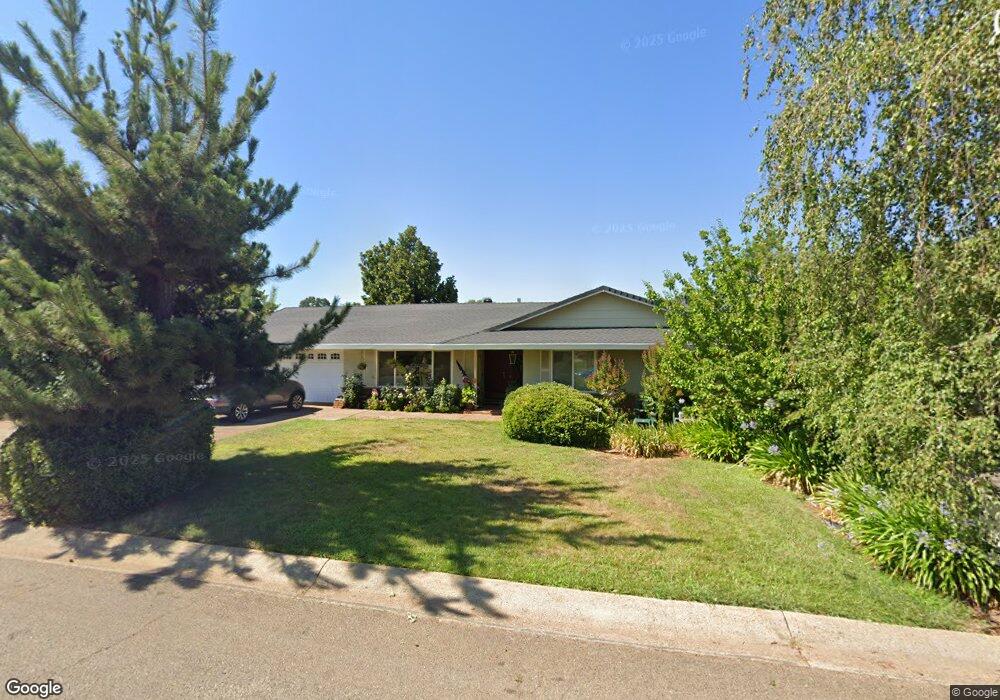
1128 Denton Way Redding, CA 96002
Enterprise NeighborhoodEstimated Value: $347,000 - $376,000
3
Beds
2
Baths
1,608
Sq Ft
$223/Sq Ft
Est. Value
About This Home
This home is located at 1128 Denton Way, Redding, CA 96002 and is currently estimated at $358,934, approximately $223 per square foot. 1128 Denton Way is a home located in Shasta County with nearby schools including Lassen View Elementary School, Parsons Junior High School, and Enterprise High School.
Ownership History
Date
Name
Owned For
Owner Type
Purchase Details
Closed on
Sep 14, 2010
Sold by
Minsart Lillie M
Bought by
Minsart Lillie
Current Estimated Value
Create a Home Valuation Report for This Property
The Home Valuation Report is an in-depth analysis detailing your home's value as well as a comparison with similar homes in the area
Home Values in the Area
Average Home Value in this Area
Purchase History
| Date | Buyer | Sale Price | Title Company |
|---|---|---|---|
| Minsart Lillie | -- | None Available |
Source: Public Records
Tax History
| Year | Tax Paid | Tax Assessment Tax Assessment Total Assessment is a certain percentage of the fair market value that is determined by local assessors to be the total taxable value of land and additions on the property. | Land | Improvement |
|---|---|---|---|---|
| 2025 | $1,994 | $189,176 | $53,032 | $136,144 |
| 2024 | $1,964 | $185,468 | $51,993 | $133,475 |
| 2023 | $1,964 | $181,832 | $50,974 | $130,858 |
| 2022 | $1,907 | $178,268 | $49,975 | $128,293 |
| 2021 | $1,841 | $174,774 | $48,996 | $125,778 |
| 2020 | $1,832 | $172,983 | $48,494 | $124,489 |
| 2019 | $1,816 | $169,593 | $47,544 | $122,049 |
| 2018 | $1,793 | $166,268 | $46,612 | $119,656 |
| 2017 | $1,823 | $163,009 | $45,699 | $117,310 |
| 2016 | $1,704 | $159,813 | $44,803 | $115,010 |
| 2015 | $1,689 | $157,414 | $44,131 | $113,283 |
| 2014 | $1,676 | $154,331 | $43,267 | $111,064 |
Source: Public Records
Map
Nearby Homes
- 4323 Churn Crk Rd
- 751 Woodacre Dr
- 4302 Paulson Ln
- 723 Woodacre Dr
- 607 Woodacre Dr
- 3703 Harrow Ct
- 1354 Harpole Rd
- 1513 Harpole Rd
- 4724 Squirrel Run Ct
- 1289 Arizona St
- 737 Estate St
- 688 Julie Way
- 3708 Traverse St
- 4877 Squirrel Run Ct
- 3527 Adams Ln
- 952 Camino Ct
- 3857 Eagle Pkwy
- 1209 C St
- 3428 Adams Ln
- 3650 Cheryl Dr
- 1144 Denton Way
- 1112 Denton Way
- 1143 Ledell Dr
- 1162 Denton Way
- 1111 Ledell Dr
- 1096 Denton Way
- 1159 Ledell Dr
- 1139 Denton Way
- 1113 Denton Way
- 1153 Denton Way
- 1095 Ledell Dr
- 1062 Denton Way
- 1173 Ledell Dr
- 1097 Denton Way
- 1167 Denton Way
- 1079 Ledell Dr
- 1180 Denton Way
- 1126 Ledell Dr
- 1142 Ledell Dr
- 1111 Dominion Dr Unit ONE
Your Personal Tour Guide
Ask me questions while you tour the home.