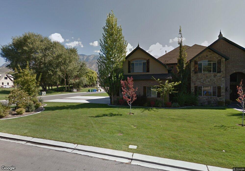
1129 E 1290 S Orem, UT 84097
Hillcrest NeighborhoodEstimated Value: $4,934,726
9
Beds
10
Baths
22,800
Sq Ft
$216/Sq Ft
Est. Value
About This Home
This home is located at 1129 E 1290 S, Orem, UT 84097 and is currently estimated at $4,934,726, approximately $216 per square foot. 1129 E 1290 S is a home located in Utah County with nearby schools including Centennial Elementary, Lakeridge Jr High School, and Orem High School.
Ownership History
Date
Name
Owned For
Owner Type
Purchase Details
Closed on
Jan 31, 2014
Sold by
Birchall Michael D and Birchall Summer J
Bought by
Jensen Jeffrey A and The Msb 2014 Irrevocable Trust
Current Estimated Value
Purchase Details
Closed on
Dec 15, 2009
Sold by
Higginson Jeannette S and Higginson Kraig T
Bought by
Birchall Michael D and Birchall Summer J
Purchase Details
Closed on
Nov 18, 2009
Sold by
Jpmorgan Chase Bank National Association
Bought by
The Jeannette S Higginson Trust
Purchase Details
Closed on
Aug 21, 2009
Sold by
Joseph Gabriel S and Washington Mutual Bank
Bought by
Jpmorgan Chase Bank National Association
Purchase Details
Closed on
Feb 23, 2007
Sold by
Joseph Shandi
Bought by
Joseph Gabriel S
Create a Home Valuation Report for This Property
The Home Valuation Report is an in-depth analysis detailing your home's value as well as a comparison with similar homes in the area
Home Values in the Area
Average Home Value in this Area
Purchase History
| Date | Buyer | Sale Price | Title Company |
|---|---|---|---|
| Jensen Jeffrey A | -- | None Available | |
| Birchall Michael D | -- | Eagle Pointe Title Insuranc | |
| Higginson Jeannette S | -- | Eagle Pointe Title Insuranc | |
| The Jeannette S Higginson Trust | -- | None Available | |
| Jpmorgan Chase Bank National Association | $1,440,000 | None Available | |
| Joseph Gabriel S | -- | Century Title Company |
Source: Public Records
Tax History
| Year | Tax Paid | Tax Assessment Tax Assessment Total Assessment is a certain percentage of the fair market value that is determined by local assessors to be the total taxable value of land and additions on the property. | Land | Improvement |
|---|---|---|---|---|
| 2025 | $5,447 | $2,708,000 | -- | -- |
| 2024 | $5,447 | $2,867,105 | $0 | $0 |
| 2023 | $27,664 | $3,041,300 | $0 | $0 |
| 2022 | $27,664 | $6,328,600 | $1,094,300 | $5,234,300 |
| 2021 | $24,164 | $5,046,300 | $957,000 | $4,089,300 |
| 2020 | $15,228 | $4,881,000 | $832,200 | $4,048,800 |
| 2019 | $21,632 | $4,230,700 | $832,200 | $3,398,500 |
| 2018 | $3,538 | $3,755,400 | $800,200 | $2,955,200 |
| 2017 | $1,422 | $1,858,335 | $0 | $0 |
| 2016 | $18,184 | $1,691,575 | $0 | $0 |
| 2015 | $16,505 | $1,452,050 | $0 | $0 |
| 2014 | $14,588 | $1,277,480 | $0 | $0 |
Source: Public Records
Map
Nearby Homes
- 1311 S 1100 E
- 1360 S Carterville Rd
- 2999 N Marrcrest West Dr
- 3013 N 100 W
- 3057 N 100 W
- 3240 Shadowbrook Dr
- 158 Woodside Dr
- 111 Candlewood Place
- 3305 N Shadowbrook Cir
- 1434 S 720 E
- 2735 N Country Club Dr
- 431 W 2310 N
- 720 E 1500 S
- 691 E 1600 S
- 3025 N 250 E
- 784 E 1700 S
- 404 W 3700 N
- 673 E 1650 S
- 745 S 900 E
- 2241 N 1060 W
- 1253 S 1140 E
- 1253 S 1140 E Unit 1
- 1344 S 1140 E
- 1244 S 1140 E
- 1244 S 1140 E Unit 13
- 1353 S 1140 E
- 1269 S 1100 E
- 1343 S 1100 E
- 1249 S 1100 E
- 1366 S 1140 E Unit 312
- 1366 S 1140 E
- 1274 S 1100 E Unit 1
- 1274 S 1100 E
- 1308 S 1100 E
- 1377 S 1140 E
- 1342 S 1100 E
- 1342 S 1100 E Unit 16
- 1229 S 1100 E
- 1229 S 1100 E Unit 6
- 1336 S 1100 E
Your Personal Tour Guide
Ask me questions while you tour the home.