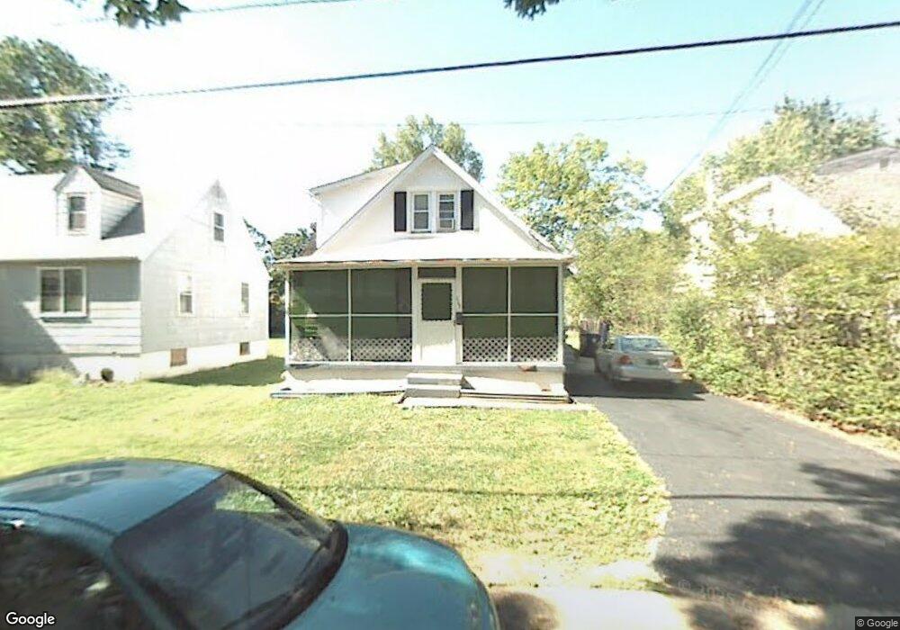
113 Brookside Ave Wilmington, DE 19805
Ashley NeighborhoodEstimated Value: $261,000 - $316,000
Studio
1
Bath
1,450
Sq Ft
$195/Sq Ft
Est. Value
About This Home
This home is located at 113 Brookside Ave, Wilmington, DE 19805 and is currently estimated at $282,614, approximately $194 per square foot. 113 Brookside Ave is a home located in New Castle County with nearby schools including Marbrook Elementary School, Alexis I. du Pont Middle School, and Thomas McKean High School.
Ownership History
Date
Name
Owned For
Owner Type
Purchase Details
Closed on
Mar 27, 2018
Sold by
Borleis Anthony A and Borleis Audrey
Bought by
Asb Premier Properties Llc
Current Estimated Value
Purchase Details
Closed on
Nov 18, 2002
Sold by
Borleis Anthony A
Bought by
Asb Premier Properties Llc
Purchase Details
Closed on
Oct 30, 2001
Sold by
Pfaff William L
Bought by
Borleis Anthony A
Home Financials for this Owner
Home Financials are based on the most recent Mortgage that was taken out on this home.
Original Mortgage
$103,500
Interest Rate
6.84%
Create a Home Valuation Report for This Property
The Home Valuation Report is an in-depth analysis detailing your home's value as well as a comparison with similar homes in the area
Home Values in the Area
Average Home Value in this Area
Purchase History
| Date | Buyer | Sale Price | Title Company |
|---|---|---|---|
| Asb Premier Properties Llc | -- | None Available | |
| Asb Premier Properties Llc | -- | -- | |
| Borleis Anthony A | $115,000 | -- |
Source: Public Records
Mortgage History
| Date | Status | Borrower | Loan Amount |
|---|---|---|---|
| Previous Owner | Borleis Anthony A | $103,500 |
Source: Public Records
Tax History
| Year | Tax Paid | Tax Assessment Tax Assessment Total Assessment is a certain percentage of the fair market value that is determined by local assessors to be the total taxable value of land and additions on the property. | Land | Improvement |
|---|---|---|---|---|
| 2024 | $1,544 | $40,700 | $8,200 | $32,500 |
| 2023 | $1,367 | $40,700 | $8,200 | $32,500 |
| 2022 | $1,375 | $40,700 | $8,200 | $32,500 |
| 2021 | $1,378 | $40,700 | $8,200 | $32,500 |
| 2020 | $1,378 | $40,700 | $8,200 | $32,500 |
| 2019 | $579 | $40,700 | $8,200 | $32,500 |
| 2018 | $390 | $40,700 | $8,200 | $32,500 |
| 2017 | $1,273 | $40,700 | $8,200 | $32,500 |
| 2016 | $1,273 | $40,700 | $8,200 | $32,500 |
| 2015 | $1,194 | $40,700 | $8,200 | $32,500 |
| 2014 | $1,108 | $40,700 | $8,200 | $32,500 |
Source: Public Records
Map
Nearby Homes
- 111 Brookside Ave
- 115 Brookside Ave
- 109 Brookside Ave
- 118 Brighton Ave
- 201 Brookside Ave
- 120 Brighton Ave
- 108 Brookside Ave
- 116 Brighton Ave
- 105 Brookside Ave
- 203 Brookside Ave
- 200 Brighton Ave
- 114 Brighton Ave
- 106 Brookside Ave
- 103 Brookside Ave
- 205 Brookside Ave
- 202 Brighton Ave
- 104 Brookside Ave
- 202 Brookside Ave
- 207 Brookside Ave
- 100 Brighton Ave
Your Personal Tour Guide
Ask me questions while you tour the home.