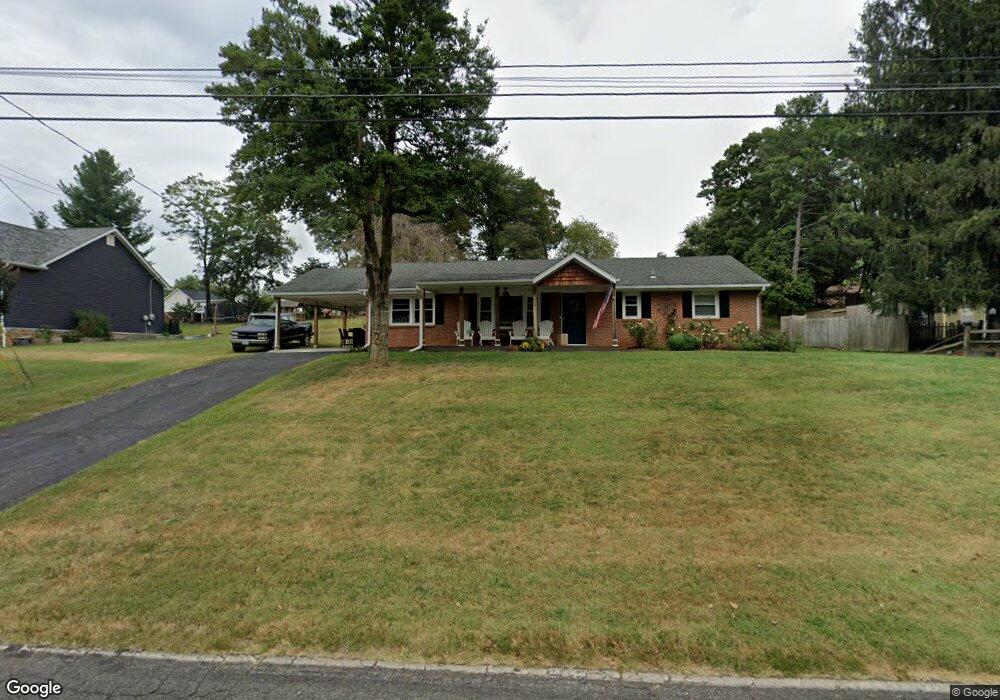
113 Bryant Rd Lynchburg, VA 24502
Estimated Value: $281,000 - $305,000
3
Beds
1
Bath
1,693
Sq Ft
$171/Sq Ft
Est. Value
About This Home
This home is located at 113 Bryant Rd, Lynchburg, VA 24502 and is currently estimated at $289,949, approximately $171 per square foot. 113 Bryant Rd is a home located in Bedford County with nearby schools including Boonsboro Elementary School, Forest Middle School, and Jefferson Forest High School.
Ownership History
Date
Name
Owned For
Owner Type
Purchase Details
Closed on
May 30, 2018
Sold by
Colpark Properties Llc
Bought by
Coan Andrew Michael and Coan Cheri Denise
Current Estimated Value
Home Financials for this Owner
Home Financials are based on the most recent Mortgage that was taken out on this home.
Original Mortgage
$161,025
Outstanding Balance
$138,648
Interest Rate
4.4%
Mortgage Type
New Conventional
Estimated Equity
$151,301
Purchase Details
Closed on
Oct 3, 2017
Sold by
Rosser Darrell Thomas and Bankert Debra Rosser
Bought by
Colpark Properties Llc
Home Financials for this Owner
Home Financials are based on the most recent Mortgage that was taken out on this home.
Original Mortgage
$122,000
Interest Rate
3.86%
Mortgage Type
New Conventional
Purchase Details
Closed on
Feb 1, 2016
Sold by
Maddox Shirley P and Rosser Shirley P
Bought by
Rosser Darrell Thomas and Bankert Debra Rosser
Create a Home Valuation Report for This Property
The Home Valuation Report is an in-depth analysis detailing your home's value as well as a comparison with similar homes in the area
Home Values in the Area
Average Home Value in this Area
Purchase History
| Date | Buyer | Sale Price | Title Company |
|---|---|---|---|
| Coan Andrew Michael | $169,500 | Virginia Title Center Llc | |
| Colpark Properties Llc | $130,000 | None Available | |
| Rosser Darrell Thomas | -- | None Available |
Source: Public Records
Mortgage History
| Date | Status | Borrower | Loan Amount |
|---|---|---|---|
| Open | Coan Andrew Michael | $161,025 | |
| Previous Owner | Colpark Properties Llc | $122,000 |
Source: Public Records
Tax History Compared to Growth
Tax History
| Year | Tax Paid | Tax Assessment Tax Assessment Total Assessment is a certain percentage of the fair market value that is determined by local assessors to be the total taxable value of land and additions on the property. | Land | Improvement |
|---|---|---|---|---|
| 2025 | $2,177 | $259,200 | $40,000 | $219,200 |
| 2024 | $1,946 | $218,700 | $40,000 | $178,700 |
| 2023 | $1,946 | $218,700 | $40,000 | $178,700 |
| 2022 | $1,760 | $170,900 | $32,000 | $138,900 |
| 2021 | $1,897 | $170,900 | $32,000 | $138,900 |
| 2020 | $1,688 | $152,100 | $32,000 | $120,100 |
| 2019 | $1,688 | $152,100 | $32,000 | $120,100 |
| 2018 | $674 | $121,500 | $30,000 | $91,500 |
| 2017 | $1,349 | $121,500 | $30,000 | $91,500 |
| 2016 | $1,395 | $125,700 | $27,000 | $98,700 |
| 2015 | $1,046 | $125,700 | $27,000 | $98,700 |
| 2014 | $1,046 | $132,000 | $27,000 | $105,000 |
Source: Public Records
Map
Nearby Homes
- 47 Viking Dr
- 52 Viking Dr
- 109 Blumont Dr
- 308 Woodberry Ln
- 206 Creekview Ct
- 106 Omega Ct
- 109 Jonathans Landing
- 118 Riverbirch Trace
- 1085 Tori Ct
- 1 Cottontown Rd
- 1157 Sleepy Oak Ln
- 202 Hounds Run
- 200 Jefferson Ridge Pkwy
- 0 Forest Rd
- 3948 Peace St
- 1102 Twin Springs Ct
- 122 Sunset Ridge Rd
- 206 Simsbury Ln
- 105 Simsbury Ln
- 2212 Deer Run