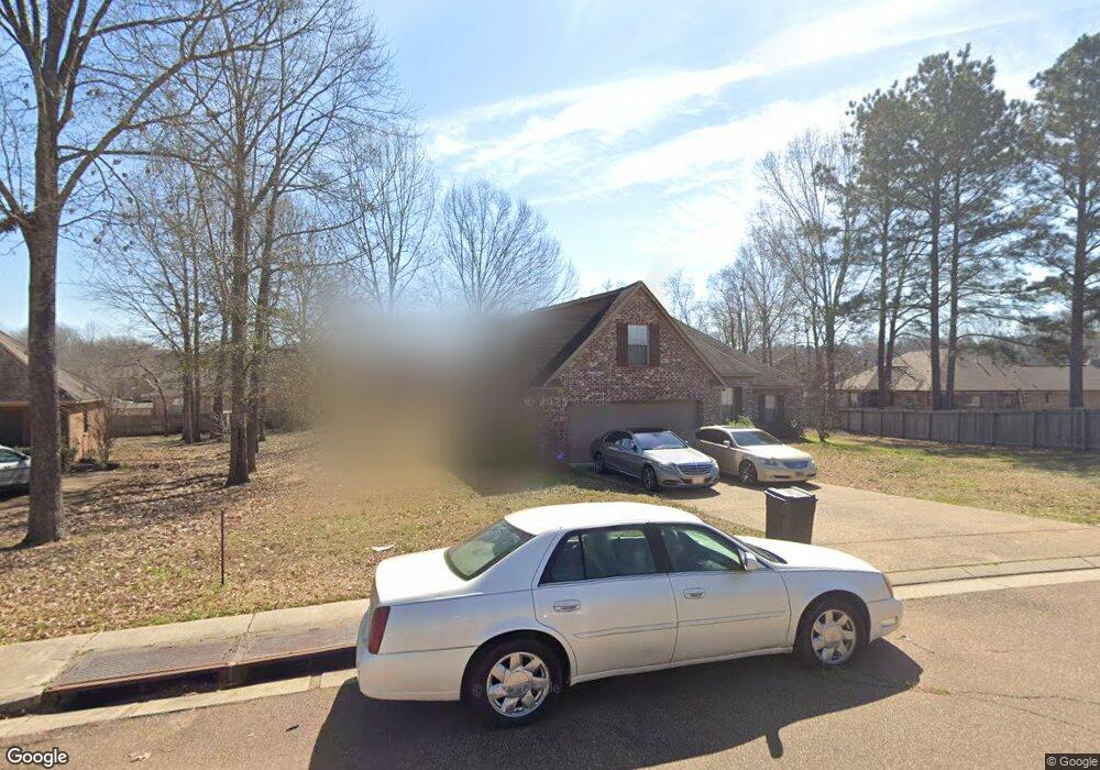
113 Cherokee Trail Unit 81 Clinton, MS 39056
Estimated Value: $334,000 - $411,000
4
Beds
3
Baths
2,830
Sq Ft
$126/Sq Ft
Est. Value
About This Home
This home is located at 113 Cherokee Trail Unit 81, Clinton, MS 39056 and is currently estimated at $357,177, approximately $126 per square foot. 113 Cherokee Trail Unit 81 is a home located in Hinds County with nearby schools including Clinton Park Elementary School, Eastside Elementary School, and Northside Elementary School.
Ownership History
Date
Name
Owned For
Owner Type
Purchase Details
Closed on
Jul 22, 2013
Sold by
Kirkland Development Inc
Bought by
Franklin Crama B and Turner Franklin K
Current Estimated Value
Home Financials for this Owner
Home Financials are based on the most recent Mortgage that was taken out on this home.
Original Mortgage
$244,900
Outstanding Balance
$178,379
Interest Rate
3.96%
Estimated Equity
$178,798
Create a Home Valuation Report for This Property
The Home Valuation Report is an in-depth analysis detailing your home's value as well as a comparison with similar homes in the area
Home Values in the Area
Average Home Value in this Area
Purchase History
| Date | Buyer | Sale Price | Title Company |
|---|---|---|---|
| Franklin Crama B | -- | -- |
Source: Public Records
Mortgage History
| Date | Status | Borrower | Loan Amount |
|---|---|---|---|
| Open | Franklin Crama B | $244,900 |
Source: Public Records
Tax History Compared to Growth
Tax History
| Year | Tax Paid | Tax Assessment Tax Assessment Total Assessment is a certain percentage of the fair market value that is determined by local assessors to be the total taxable value of land and additions on the property. | Land | Improvement |
|---|---|---|---|---|
| 2025 | $3,207 | $21,096 | $4,000 | $17,096 |
| 2024 | $3,207 | $21,096 | $4,000 | $17,096 |
| 2023 | $3,207 | $21,096 | $4,000 | $17,096 |
| 2022 | $3,207 | $21,096 | $4,000 | $17,096 |
| 2021 | $3,207 | $21,096 | $4,000 | $17,096 |
| 2020 | $2,736 | $20,112 | $4,000 | $16,112 |
| 2019 | $2,797 | $20,112 | $4,000 | $16,112 |
| 2018 | $2,797 | $20,112 | $4,000 | $16,112 |
| 2017 | $2,828 | $20,112 | $4,000 | $16,112 |
| 2016 | $2,828 | $21,100 | $4,000 | $17,100 |
| 2015 | $2,758 | $20,693 | $4,000 | $16,693 |
| 2014 | $2,758 | $20,693 | $4,000 | $16,693 |
Source: Public Records
Map
Nearby Homes
- 107 Trace Pointe Place
- 103 Buffalo Cove
- 110 Trace Pointe Place
- 114 Trace Pointe Place
- 116 Trace Pointe Place
- 1422 Huntcliff Way
- 149 Navajo Cir
- 172 Navajo Cir
- 102 Friars Cove
- 1219 Canterbury Ln
- 1221 Huntcliff Way
- 305 Linda Dr
- 603 Herndon Hill
- 605 Herndon Hill
- 1200 Canterbury Ln
- 0 Huntcliff Way
- 1203 Rockingham Dr
- 317A Avondale Dr
- 1609 Linda Dr SW
- 504 Hampton St
- 113 Cherokee Trail
- 111 Cherokee Trail Unit 80
- 111 Cherokee Trail
- 123 Choctaw Bend Unit 82
- 123 Choctaw Bend
- 125 Choctaw Bend Unit 83
- 125 Choctaw Bend
- 131 Choctaw Bend Unit 86
- 131 Choctaw Bend
- 0 Cherokee Trail Unit 79 246570
- 0 Cherokee Trail Unit 79 1246570
- 0 Cherokee Trail Unit lot 62 1190428
- 0 Cherokee Trail Unit lot 62 190428
- 0 Cherokee Trail Unit 1246570
- 116 Cherokee Trail Unit 61
- 116 Cherokee Trail
- 129 Choctaw Bend
- 109 Cherokee Trail Unit 79
- 109 Cherokee Trail
- 121 Choctaw Bend