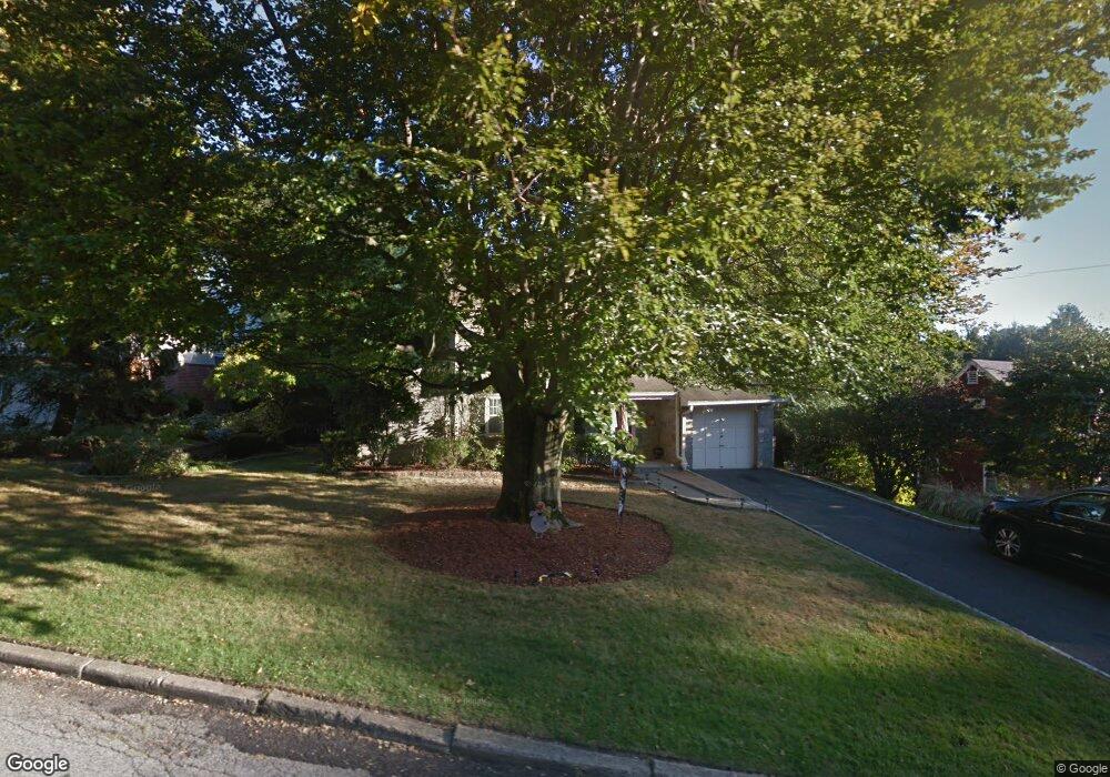
113 Crest Dr Tarrytown, NY 10591
Estimated Value: $1,186,602 - $1,435,000
4
Beds
3
Baths
2,790
Sq Ft
$453/Sq Ft
Est. Value
About This Home
This home is located at 113 Crest Dr, Tarrytown, NY 10591 and is currently estimated at $1,264,401, approximately $453 per square foot. 113 Crest Dr is a home located in Westchester County with nearby schools including Washington Irving Interm School, John Paulding School, and W L Morse School.
Ownership History
Date
Name
Owned For
Owner Type
Purchase Details
Closed on
Jun 1, 2011
Sold by
Melvin Ann F
Bought by
Fox Seth A and Fox Ann M
Current Estimated Value
Home Financials for this Owner
Home Financials are based on the most recent Mortgage that was taken out on this home.
Original Mortgage
$530,000
Outstanding Balance
$367,252
Interest Rate
4.74%
Mortgage Type
New Conventional
Estimated Equity
$897,149
Purchase Details
Closed on
Jul 29, 2002
Sold by
Boyd Daniel and Boyd Susan H
Bought by
Melvin Ann
Create a Home Valuation Report for This Property
The Home Valuation Report is an in-depth analysis detailing your home's value as well as a comparison with similar homes in the area
Home Values in the Area
Average Home Value in this Area
Purchase History
| Date | Buyer | Sale Price | Title Company |
|---|---|---|---|
| Fox Seth A | $760,000 | Chicago Title Insurance | |
| Melvin Ann | $610,000 | The Judicial Title Ins Agenc |
Source: Public Records
Mortgage History
| Date | Status | Borrower | Loan Amount |
|---|---|---|---|
| Open | Fox Seth A | $530,000 |
Source: Public Records
Tax History
| Year | Tax Paid | Tax Assessment Tax Assessment Total Assessment is a certain percentage of the fair market value that is determined by local assessors to be the total taxable value of land and additions on the property. | Land | Improvement |
|---|---|---|---|---|
| 2024 | $30,168 | $1,024,500 | $303,700 | $720,800 |
| 2023 | $28,594 | $979,900 | $268,800 | $711,100 |
| 2022 | $27,658 | $905,100 | $268,800 | $636,300 |
| 2021 | $25,816 | $822,100 | $268,800 | $553,300 |
| 2020 | $25,645 | $744,400 | $268,800 | $475,600 |
| 2019 | $24,824 | $744,400 | $268,800 | $475,600 |
| 2018 | $27,411 | $731,000 | $268,800 | $462,200 |
| 2017 | $12,599 | $697,500 | $268,800 | $428,700 |
| 2016 | $494,017 | $670,700 | $268,800 | $401,900 |
| 2015 | -- | $19,800 | $2,550 | $17,250 |
| 2014 | -- | $21,300 | $2,550 | $18,750 |
| 2013 | $15,003 | $21,300 | $2,550 | $18,750 |
Source: Public Records
Map
Nearby Homes
- 117 Crest Dr
- 383 Martling Ave
- 43 Putnam Ave
- 27 Loh Ave
- 349 Martling Ave
- 222 Martling Ave Unit 3R
- 14 Croton Ave
- 18 N Broadway Unit 411
- 19 S Broadway Unit 4A
- 103 Carrollwood Dr
- 154 Martling Ave Unit G3
- 154 Martling Ave Unit 5-J6
- 410 Benedict Ave Unit 5E
- 23 Windle Park Unit B
- 8 Maple Ave
- 10 Tappan Landing Rd Unit 53A
- 300 S Broadway Unit 6-H
- 300 S Broadway Unit 2D
- 253 S Broadway
- 46 Trailhead Ln
Your Personal Tour Guide
Ask me questions while you tour the home.