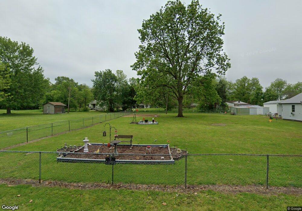
113 E Adams St Keiser, AR 72351
Estimated Value: $79,000
Studio
--
Bath
979
Sq Ft
$81/Sq Ft
Est. Value
About This Home
This home is located at 113 E Adams St, Keiser, AR 72351 and is currently estimated at $79,000, approximately $80 per square foot. 113 E Adams St is a home with nearby schools including Rivercrest Elementary School.
Ownership History
Date
Name
Owned For
Owner Type
Purchase Details
Closed on
Jan 2, 1998
Sold by
Brannon D B
Bought by
Hall J W
Current Estimated Value
Purchase Details
Closed on
Jan 1, 1998
Sold by
Brannon D B
Bought by
Hall J W
Purchase Details
Closed on
Jan 2, 1994
Sold by
Brannon Brannon D and Brannon Geneva
Bought by
Brannon D B
Purchase Details
Closed on
Jan 1, 1994
Sold by
Brannon Brannon D and Brannon Geneva
Bought by
Brannon D B
Purchase Details
Closed on
Jan 2, 1979
Sold by
Gentry Pearl
Bought by
Brannon Brannon D and Brannon Geneva
Purchase Details
Closed on
Jan 1, 1979
Sold by
Gentry Pearl
Bought by
Brannon Brannon D and Brannon Geneva
Purchase Details
Closed on
Jan 2, 1978
Bought by
Gentry Pearl
Purchase Details
Closed on
Jan 1, 1978
Bought by
Gentry Pearl
Create a Home Valuation Report for This Property
The Home Valuation Report is an in-depth analysis detailing your home's value as well as a comparison with similar homes in the area
Purchase History
| Date | Buyer | Sale Price | Title Company |
|---|---|---|---|
| Hall J W | $10,000 | -- | |
| Hall J W | $10,000 | -- | |
| Brannon D B | -- | -- | |
| Brannon D B | -- | -- | |
| Brannon Brannon D | -- | -- | |
| Brannon Brannon D | -- | -- | |
| Gentry Pearl | -- | -- | |
| Gentry Pearl | -- | -- |
Source: Public Records
Tax History
| Year | Tax Paid | Tax Assessment Tax Assessment Total Assessment is a certain percentage of the fair market value that is determined by local assessors to be the total taxable value of land and additions on the property. | Land | Improvement |
|---|---|---|---|---|
| 2025 | $57 | $1,000 | $1,000 | $0 |
| 2024 | $55 | $1,060 | $1,000 | $60 |
| 2023 | $55 | $1,060 | $1,000 | $60 |
| 2022 | $55 | $1,060 | $1,000 | $60 |
Source: Public Records
Map
Nearby Homes
- 210 Cypress St
- 201 N Market St
- 1 Cedar St
- 309 Senter Ave
- 500 Hill St
- 0 Shippen Ave Unit 22016399
- 0 E Johnson Ave
- 1199 W Highway 119
- 1 State Highway 140
- 0 State Highway 140
- 1281 S Hwy 77
- 132 Ken Dr
- 130 Diane Dr
- 122 Diane Dr
- 0 Cheryl Unit 43977
- 109 Newport Dr
- 111 Colonial Rd
- 1513 W Semmes Ave
- 103 Spruce Ln
- 1169 S State Highway 119
- 111 E Adams St
- 112 E Adams St
- 109 E Adams St
- 114 E Adams St
- 110 E Adams St
- 114 E Madison St
- 122 E Madison St
- 108 E Adams St
- 116 E Adams St
- 106 E Adams St
- 108 E Madison St
- 103 E Adams St
- 109 E Mill St
- 113 E Madison St
- 121 E Madison St
- 111 E Mill St
- 107 E Mill St
- 104 E Adams St
- 113 E Mill St
- 125 E Madison St
Your Personal Tour Guide
Ask me questions while you tour the home.