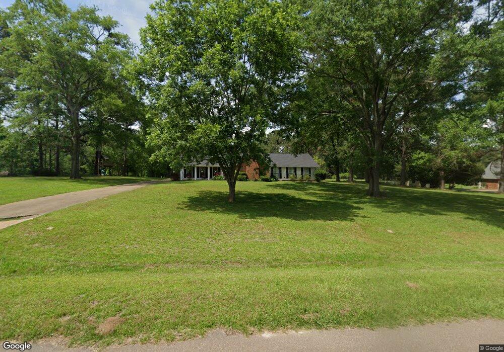
113 Keith Ln Clinton, MS 39056
Estimated Value: $302,338 - $358,000
4
Beds
2
Baths
2,100
Sq Ft
$154/Sq Ft
Est. Value
About This Home
This home is located at 113 Keith Ln, Clinton, MS 39056 and is currently estimated at $322,835, approximately $153 per square foot. 113 Keith Ln is a home located in Hinds County with nearby schools including Clinton Park Elementary School, Eastside Elementary School, and Northside Elementary School.
Ownership History
Date
Name
Owned For
Owner Type
Purchase Details
Closed on
Mar 13, 2020
Sold by
Elam Jason and Elam Robin
Bought by
Fortenberry Robert Nelson and Fortenberry Margaret Rose
Current Estimated Value
Home Financials for this Owner
Home Financials are based on the most recent Mortgage that was taken out on this home.
Original Mortgage
$244,150
Outstanding Balance
$215,817
Interest Rate
3.4%
Mortgage Type
New Conventional
Estimated Equity
$107,018
Purchase Details
Closed on
Jun 13, 2016
Sold by
Cooper Garland D and Cooper Geneva L
Bought by
Elam Jason and Elam Robin
Create a Home Valuation Report for This Property
The Home Valuation Report is an in-depth analysis detailing your home's value as well as a comparison with similar homes in the area
Home Values in the Area
Average Home Value in this Area
Purchase History
| Date | Buyer | Sale Price | Title Company |
|---|---|---|---|
| Fortenberry Robert Nelson | -- | None Available | |
| Elam Jason | -- | Attorney |
Source: Public Records
Mortgage History
| Date | Status | Borrower | Loan Amount |
|---|---|---|---|
| Open | Fortenberry Robert Nelson | $244,150 |
Source: Public Records
Tax History
| Year | Tax Paid | Tax Assessment Tax Assessment Total Assessment is a certain percentage of the fair market value that is determined by local assessors to be the total taxable value of land and additions on the property. | Land | Improvement |
|---|---|---|---|---|
| 2025 | $1,735 | $13,444 | $3,500 | $9,944 |
| 2024 | $1,735 | $13,255 | $3,500 | $9,755 |
| 2023 | $1,735 | $13,255 | $3,500 | $9,755 |
| 2022 | $2,015 | $13,255 | $3,500 | $9,755 |
| 2021 | $1,715 | $13,255 | $3,500 | $9,755 |
| 2020 | $1,680 | $13,116 | $3,500 | $9,616 |
| 2019 | $1,720 | $13,116 | $3,500 | $9,616 |
| 2018 | $1,720 | $13,116 | $3,500 | $9,616 |
| 2017 | $1,645 | $13,116 | $3,500 | $9,616 |
| 2016 | $1,645 | $13,116 | $3,500 | $9,616 |
| 2015 | $1,703 | $13,553 | $3,500 | $10,053 |
| 2014 | $1,703 | $13,553 | $3,500 | $10,053 |
Source: Public Records
Map
Nearby Homes
- 001 Pinehaven Dr
- 8 Charleston Ave
- 0 Lafayette Cir
- 110 Saratoga Springs Ave
- 109 Saratoga Springs Ave
- 110 Horseshoe Blvd
- 107 Saratoga Springs Ave
- 112 Horseshoe Blvd
- 180 Catherine Blvd
- 7 Lafayette Cir
- 103 Catherine Blvd
- 0 Copper Creek Dr Unit 4113527
- 0 Copper Creek Dr Unit 4113564
- 200 Saratoga Springs Ave
- 111 Twain Trail
- 100 Coldwater Cir
- 239 Copper Creek Dr
- 123 Oakhurst Dr
- 73 Canebrake Ct
- Lot 32 Dewey St
Your Personal Tour Guide
Ask me questions while you tour the home.