113 Pheasant Dr Unit 113 Pheasant Drive Mankato, MN 56001
Estimated Value: $506,478 - $534,000
3
Beds
3
Baths
2,036
Sq Ft
$254/Sq Ft
Est. Value
About This Home
This home is located at 113 Pheasant Dr Unit 113 Pheasant Drive, Mankato, MN 56001 and is currently estimated at $516,620, approximately $253 per square foot. 113 Pheasant Dr Unit 113 Pheasant Drive is a home located in Blue Earth County with nearby schools including Washington Elementary School, Prairie Winds Middle School, and Mankato East Senior High School.
Ownership History
Date
Name
Owned For
Owner Type
Purchase Details
Closed on
Aug 31, 2023
Sold by
Rausch Clint and Rausch Shannon
Bought by
Christoffer Kevin and Christoffer Melissa
Current Estimated Value
Home Financials for this Owner
Home Financials are based on the most recent Mortgage that was taken out on this home.
Original Mortgage
$176,500
Outstanding Balance
$172,629
Interest Rate
6.78%
Mortgage Type
New Conventional
Estimated Equity
$343,991
Purchase Details
Closed on
Feb 5, 2015
Sold by
Rausch Clint A and Rausch Shannon K
Bought by
Rausch Clint A and Rausch Shannon K
Create a Home Valuation Report for This Property
The Home Valuation Report is an in-depth analysis detailing your home's value as well as a comparison with similar homes in the area
Home Values in the Area
Average Home Value in this Area
Purchase History
| Date | Buyer | Sale Price | Title Company |
|---|---|---|---|
| Christoffer Kevin | $501,500 | -- | |
| Rausch Clint A | -- | -- |
Source: Public Records
Mortgage History
| Date | Status | Borrower | Loan Amount |
|---|---|---|---|
| Open | Christoffer Kevin | $176,500 |
Source: Public Records
Tax History Compared to Growth
Tax History
| Year | Tax Paid | Tax Assessment Tax Assessment Total Assessment is a certain percentage of the fair market value that is determined by local assessors to be the total taxable value of land and additions on the property. | Land | Improvement |
|---|---|---|---|---|
| 2025 | $3,554 | $455,300 | $85,000 | $370,300 |
| 2024 | $3,554 | $431,200 | $85,000 | $346,200 |
| 2023 | $3,374 | $432,500 | $85,000 | $347,500 |
| 2022 | $3,038 | $398,100 | $85,000 | $313,100 |
| 2021 | $2,986 | $328,900 | $85,000 | $243,900 |
| 2020 | $2,982 | $317,900 | $75,000 | $242,900 |
| 2019 | $3,040 | $317,900 | $75,000 | $242,900 |
| 2018 | $2,812 | $326,500 | $75,000 | $251,500 |
| 2017 | $2,442 | $304,600 | $75,000 | $229,600 |
| 2016 | $2,122 | $282,700 | $75,000 | $207,700 |
| 2015 | $21 | $247,800 | $60,000 | $187,800 |
| 2014 | -- | $247,800 | $60,000 | $187,800 |
Source: Public Records
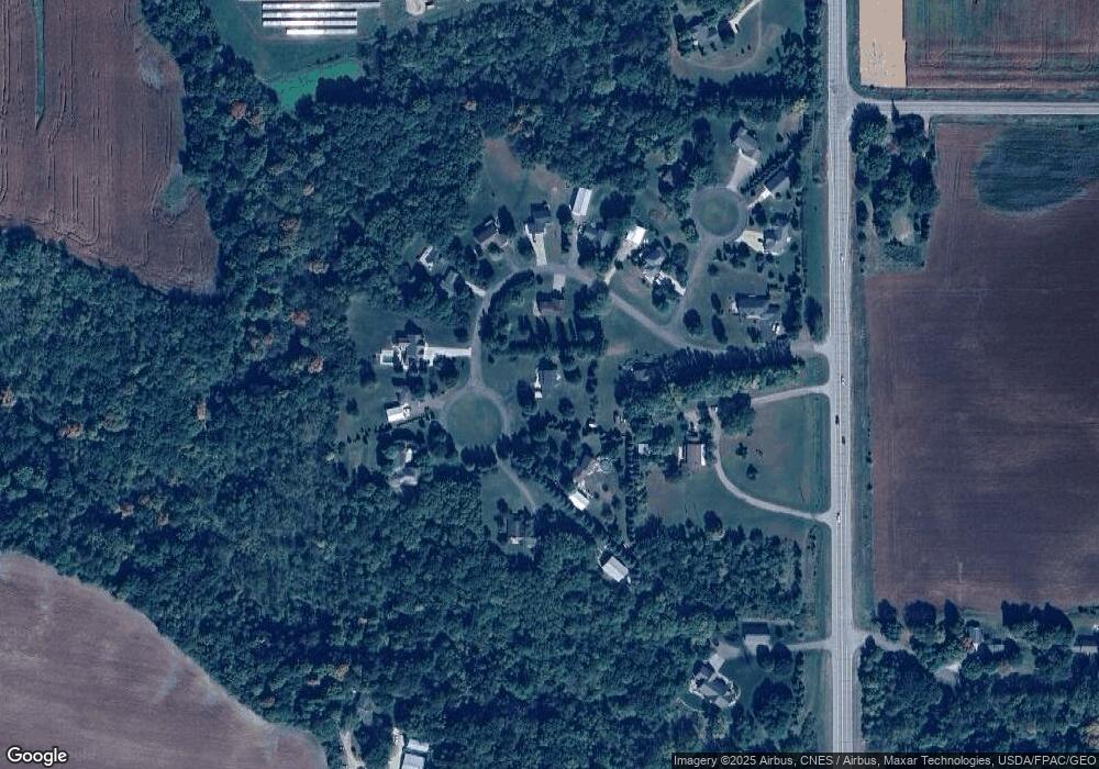
Map
Nearby Homes
- 58605 243rd St
- TBD Lime Valley Rd
- 47173 Sunset Ridge Dr
- 583rd Street
- 0 R40 04 33 126 001 Unit XXXXX 231st Street
- 22973 Minnesota 22
- 100 N Hill Dr
- 22911 N Riverfront Dr
- 180 Joray Dr
- 133 Maple Dr Unit 59
- 126 Maple Dr Unit 62
- 130 Maple Dr Unit 64
- 25 Wood Dr Unit 9
- 413 Elm Dr Unit 111
- 304 Oak Ln Unit 109
- 23 Wood Dr Unit 8
- 305 Oak Ln Unit 100
- 110 Maple Dr Unit 74
- 212 Spruce Ln Unit 89
- 47 Wood Dr Unit 20
- 113 Pheasant Dr
- 113 113 Pheasant Dr
- 112 Pheasant Dr
- 115 Pheasant Dr
- 106 Pheasant Dr
- 111 Pheasant Dr
- 107 Pheasant Dr
- 107 Pheasant Dr Unit Pheasant Run
- 103 Pheasant Dr
- 108 Pheasant Dr
- 205 Pheasant Ct
- 104 Pheasant Dr
- 110 Pheasant Dr
- 24210 State Highway 22
- 101 Pheasant Dr
- 105 Pheasant Dr
- 204 Pheasant Ct
- 202 Pheasant Ct
- 203 Pheasant Ct
- 24146 State Highway 22