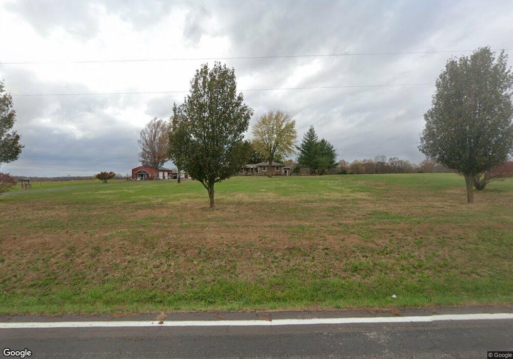
11311 State Route 17 West Plains, MO 65775
Estimated Value: $514,135 - $572,000
--
Bed
--
Bath
1,872
Sq Ft
$290/Sq Ft
Est. Value
About This Home
This home is located at 11311 State Route 17, West Plains, MO 65775 and is currently estimated at $543,068, approximately $290 per square foot. 11311 State Route 17 is a home with nearby schools including Glenwood Elementary School.
Ownership History
Date
Name
Owned For
Owner Type
Purchase Details
Closed on
Feb 16, 2021
Sold by
Brown Curtis L and Brown Paula M
Bought by
Campbell Richard August and Campbell Mary Patricia
Current Estimated Value
Home Financials for this Owner
Home Financials are based on the most recent Mortgage that was taken out on this home.
Original Mortgage
$189,000
Outstanding Balance
$138,986
Interest Rate
2.65%
Mortgage Type
New Conventional
Estimated Equity
$404,082
Purchase Details
Closed on
Jan 24, 2007
Sold by
Martin Jim and Martin Cheryl
Bought by
Brown Curtis L
Create a Home Valuation Report for This Property
The Home Valuation Report is an in-depth analysis detailing your home's value as well as a comparison with similar homes in the area
Home Values in the Area
Average Home Value in this Area
Purchase History
| Date | Buyer | Sale Price | Title Company |
|---|---|---|---|
| Campbell Richard August | -- | Wiles Abstract And Title Co | |
| Brown Curtis L | -- | Btc |
Source: Public Records
Mortgage History
| Date | Status | Borrower | Loan Amount |
|---|---|---|---|
| Open | Campbell Richard August | $189,000 |
Source: Public Records
Tax History Compared to Growth
Tax History
| Year | Tax Paid | Tax Assessment Tax Assessment Total Assessment is a certain percentage of the fair market value that is determined by local assessors to be the total taxable value of land and additions on the property. | Land | Improvement |
|---|---|---|---|---|
| 2025 | $1,614 | $44,650 | $2,990 | $41,660 |
| 2024 | $1,471 | $39,880 | -- | -- |
| 2023 | $1,471 | $39,880 | $0 | $0 |
| 2022 | $1,385 | $37,610 | $0 | $0 |
| 2021 | $1,059 | $30,790 | $0 | $0 |
| 2020 | $1,059 | $28,980 | $0 | $0 |
| 2019 | $1,153 | $28,980 | $0 | $0 |
| 2018 | $1,130 | $28,420 | $0 | $0 |
| 2017 | $1,108 | $28,420 | $0 | $0 |
| 2015 | -- | $28,420 | $0 | $0 |
| 2014 | -- | $24,430 | $0 | $0 |
| 2013 | -- | $24,430 | $0 | $0 |
Source: Public Records
Map
Nearby Homes
- 5506 County Road 9100
- Lot 2 State Highway Jj
- 4117 Private Road 7201
- 4180 Private Road 7201
- 4154 Private Road 7201
- 5160 County Road 9380
- 000 State Route 17 S
- 5122 County Road 9380
- 12301 Missouri 17
- 5038 County Road 8940
- 10567 County Road 8130
- 6226 County Road 9300
- 10733 County Road 8070
- 000 State Route Jj
- 000 Arrowhead Acres
- 0 Lanton Rd
- 4808 County Road 8940
- 5019 Private Road 8948
- 000 County Road 8800
- 000 Private Road 8825
- 11311 Missouri 17
- 11359 Missouri 17
- 11251 State Route 17
- 5789 Private Road 9140
- 5776 Private Road 9140
- 11566 Private Road 9135
- 5644 Private Road 9136
- 11557 Private Road 9135
- 5794 Private Road 9140
- 11641 State Route 17
- 5759 Private Road 9120
- 5580 Private Road 9136
- 11534 Private Road 9135
- 5680 Private Road 9134
- 5621 Private Road 9136
- 5636 Private Road 9134
- 11208 State Route 17
- 11208 State Route 17
- 5601 Private Road 9136
- 11473 State Route 17