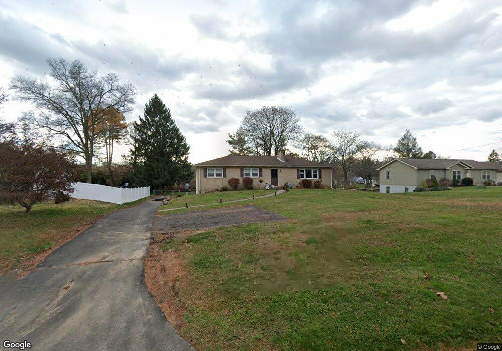
1132 Almshouse Rd Warminster, PA 18974
Estimated Value: $501,707 - $612,000
3
Beds
2
Baths
1,540
Sq Ft
$347/Sq Ft
Est. Value
About This Home
This home is located at 1132 Almshouse Rd, Warminster, PA 18974 and is currently estimated at $534,927, approximately $347 per square foot. 1132 Almshouse Rd is a home located in Bucks County with nearby schools including Maureen M. Welch Elementary School, Richboro Middle School, and Council Rock High School - South.
Ownership History
Date
Name
Owned For
Owner Type
Purchase Details
Closed on
Jun 15, 2001
Sold by
Gundrum Janet Freas and Freas Janet A
Bought by
Williams Charles F and Williams Karen B
Current Estimated Value
Home Financials for this Owner
Home Financials are based on the most recent Mortgage that was taken out on this home.
Original Mortgage
$100,000
Outstanding Balance
$37,953
Interest Rate
7.09%
Estimated Equity
$496,974
Purchase Details
Closed on
Oct 11, 1965
Bought by
Freas Albert E and Freas Janet A
Create a Home Valuation Report for This Property
The Home Valuation Report is an in-depth analysis detailing your home's value as well as a comparison with similar homes in the area
Home Values in the Area
Average Home Value in this Area
Purchase History
| Date | Buyer | Sale Price | Title Company |
|---|---|---|---|
| Williams Charles F | -- | -- | |
| Freas Albert E | -- | -- |
Source: Public Records
Mortgage History
| Date | Status | Borrower | Loan Amount |
|---|---|---|---|
| Open | Williams Charles F | $100,000 |
Source: Public Records
Tax History Compared to Growth
Tax History
| Year | Tax Paid | Tax Assessment Tax Assessment Total Assessment is a certain percentage of the fair market value that is determined by local assessors to be the total taxable value of land and additions on the property. | Land | Improvement |
|---|---|---|---|---|
| 2025 | $4,546 | $23,600 | $5,640 | $17,960 |
| 2024 | $4,546 | $23,600 | $5,640 | $17,960 |
| 2023 | $4,284 | $23,600 | $5,640 | $17,960 |
| 2022 | $4,245 | $23,600 | $5,640 | $17,960 |
| 2021 | $4,111 | $23,600 | $5,640 | $17,960 |
| 2020 | $4,018 | $23,600 | $5,640 | $17,960 |
| 2019 | $3,846 | $23,600 | $5,640 | $17,960 |
| 2018 | $3,778 | $23,600 | $5,640 | $17,960 |
| 2017 | $3,632 | $23,600 | $5,640 | $17,960 |
| 2016 | $3,632 | $23,600 | $5,640 | $17,960 |
| 2015 | -- | $23,600 | $5,640 | $17,960 |
| 2014 | -- | $23,600 | $5,640 | $17,960 |
Source: Public Records
Map
Nearby Homes
- 1000 Old Jacksonville Rd
- 6 Breckenridge Dr
- 636 Almshouse Rd
- 1390 Old Jacksonville Rd
- 223 Cecelia Acres Dr
- 31 Aspen Dr
- 1408 Old Jacksonville Rd
- 8 Shady Pines Dr
- 3 Shady Pines Dr
- 23 Oxford Dr
- 8 Lacey Ln
- 18 Lacey Ln
- 9 Spring Mill Dr
- 11 Spring Mill Dr
- 21 Spring Mill Dr Unit 12
- The Addis Plan at The Reserve at Spring Mill
- The Beckett Plan at The Reserve at Spring Mill
- 59 Parry Way
- 55 Parry Way
- 105 Edwards Dr
- 1144 Almshouse Rd
- 1124 Almshouse Rd
- 1116 Almshouse Rd
- 1156 Almshouse Rd
- 687 Jacksonville Rd
- 1104 Almshouse Rd
- 1168 Almshouse Rd
- 12 Brookline Rd
- 20 Brookline Rd
- 1090 Almshouse Rd
- 23 Inland Rd
- 28 Brookline Rd
- 62 Brookline Rd
- 25 Brookline Rd
- 22 Inland Rd
- 8 Inland Rd
- 1078 Almshouse Rd
- 1191 Almshouse Rd
- 40 Inland Rd
- 41 Brookline Rd