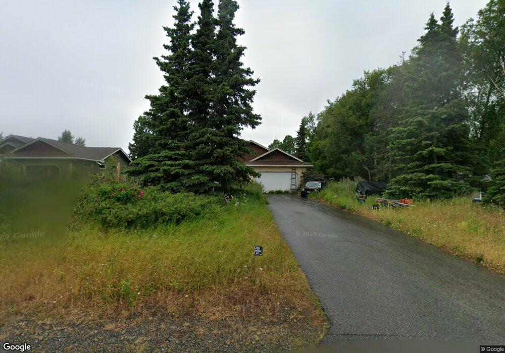
11320 Johns Rd Anchorage, AK 99515
Bayshore-Klatt NeighborhoodEstimated Value: $386,000 - $490,000
3
Beds
2
Baths
1,541
Sq Ft
$288/Sq Ft
Est. Value
About This Home
This home is located at 11320 Johns Rd, Anchorage, AK 99515 and is currently estimated at $444,051, approximately $288 per square foot. 11320 Johns Rd is a home located in Anchorage Municipality with nearby schools including Klatt Elementary School, Hanshew Middle School, and Service High School.
Ownership History
Date
Name
Owned For
Owner Type
Purchase Details
Closed on
Apr 26, 2005
Sold by
Young Albert K
Bought by
Klatt Lester A and Klatt Dora A
Current Estimated Value
Purchase Details
Closed on
Mar 23, 2004
Sold by
Odum Emma J
Bought by
Allen Michael L
Home Financials for this Owner
Home Financials are based on the most recent Mortgage that was taken out on this home.
Original Mortgage
$75,000
Interest Rate
5.64%
Mortgage Type
Purchase Money Mortgage
Create a Home Valuation Report for This Property
The Home Valuation Report is an in-depth analysis detailing your home's value as well as a comparison with similar homes in the area
Home Values in the Area
Average Home Value in this Area
Purchase History
| Date | Buyer | Sale Price | Title Company |
|---|---|---|---|
| Klatt Lester A | -- | Pacific Northwest Title Ak I | |
| Allen Michael L | -- | -- |
Source: Public Records
Mortgage History
| Date | Status | Borrower | Loan Amount |
|---|---|---|---|
| Previous Owner | Allen Michael L | $75,000 |
Source: Public Records
Tax History Compared to Growth
Tax History
| Year | Tax Paid | Tax Assessment Tax Assessment Total Assessment is a certain percentage of the fair market value that is determined by local assessors to be the total taxable value of land and additions on the property. | Land | Improvement |
|---|---|---|---|---|
| 2025 | $2,935 | $425,600 | $109,600 | $316,000 |
| 2024 | $2,935 | $406,800 | $109,600 | $297,200 |
| 2023 | $6,296 | $369,700 | $109,600 | $260,100 |
| 2022 | $2,777 | $364,900 | $109,500 | $255,400 |
| 2021 | $5,934 | $329,300 | $109,500 | $219,800 |
| 2020 | $2,105 | $325,000 | $109,500 | $215,500 |
| 2019 | $2,038 | $324,600 | $109,500 | $215,100 |
| 2018 | $1,866 | $313,800 | $109,500 | $204,300 |
| 2017 | $2,094 | $303,700 | $109,500 | $194,200 |
| 2016 | $4,489 | $322,700 | $103,400 | $219,300 |
| 2015 | $4,489 | $310,200 | $103,400 | $206,800 |
| 2014 | $4,489 | $294,200 | $91,300 | $202,900 |
Source: Public Records
Map
Nearby Homes
- 321 Ellen Cir
- 10600 Cordova St
- 240 W 106th Ave
- 12023 Whitecap Place Unit 37
- 271 Dailey Ave Unit 12
- 9031 Old Seward Hwy
- 12120 Johns Rd
- 12106 Lucille Ln Unit 1
- 840 Allison Cir
- 1100 E 112th Ave Unit 2
- 1105 E Klatt Rd
- 12301 Johns Rd Unit 6
- 200 W 123rd Ave
- 11759 Birch Knoll Loop Unit 11759
- 12130 Timberlane Dr
- 250 Botanical Cir
- 411 Mariner Dr
- 10240 Old Seward Hwy
- 11483 Moonrise Ridge Place Unit 10
- 10412 Thimble Berry Dr
- 11300 Johns Rd
- 11340 Johns Rd
- 11341 Lillian Ln
- 11240 Johns Rd
- 11400 Johns Rd
- L23A-1 Lillian Ln
- 121 Joan Ct
- 11400 Lillian Ln
- 11310 Lillian Ln
- L23A3 Joan Ct
- 132 Crete St
- 11300 Lillian Ln
- 11240 Lillian Ln
- 110 Joan Ct
- 11230 Lillian Ln
- 120 Joan Ct
- 130 Joan Ct
- 1111 Artemus Ave
- 1101 Artemus Ave
- 1031 Artemus Ave