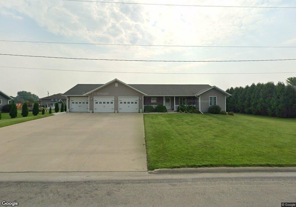
1133 9th St E Cresco, IA 52136
Estimated Value: $297,000 - $397,651
3
Beds
3
Baths
2,080
Sq Ft
$169/Sq Ft
Est. Value
About This Home
This home is located at 1133 9th St E, Cresco, IA 52136 and is currently estimated at $351,913, approximately $169 per square foot. 1133 9th St E is a home located in Howard County with nearby schools including Crestwood High School.
Ownership History
Date
Name
Owned For
Owner Type
Purchase Details
Closed on
May 21, 2018
Sold by
Hagen David W and Drtina Julie A
Bought by
Oppriecht Matthew and Oppriecht Ashley
Current Estimated Value
Home Financials for this Owner
Home Financials are based on the most recent Mortgage that was taken out on this home.
Original Mortgage
$213,750
Outstanding Balance
$184,077
Interest Rate
4.5%
Mortgage Type
New Conventional
Estimated Equity
$167,836
Create a Home Valuation Report for This Property
The Home Valuation Report is an in-depth analysis detailing your home's value as well as a comparison with similar homes in the area
Home Values in the Area
Average Home Value in this Area
Purchase History
| Date | Buyer | Sale Price | Title Company |
|---|---|---|---|
| Oppriecht Matthew | $225,000 | -- |
Source: Public Records
Mortgage History
| Date | Status | Borrower | Loan Amount |
|---|---|---|---|
| Open | Oppriecht Matthew | $213,750 |
Source: Public Records
Tax History
| Year | Tax Paid | Tax Assessment Tax Assessment Total Assessment is a certain percentage of the fair market value that is determined by local assessors to be the total taxable value of land and additions on the property. | Land | Improvement |
|---|---|---|---|---|
| 2025 | $5,970 | $359,970 | $26,580 | $333,390 |
| 2024 | $5,970 | $324,140 | $26,580 | $297,560 |
| 2023 | $5,858 | $324,140 | $26,580 | $297,560 |
| 2022 | $5,314 | $273,170 | $26,580 | $246,590 |
| 2021 | $5,262 | $266,020 | $26,580 | $239,440 |
| 2020 | $5,170 | $249,080 | $26,580 | $222,500 |
| 2019 | $5,002 | $233,020 | $0 | $0 |
| 2018 | $4,772 | $233,020 | $0 | $0 |
| 2017 | $3,692 | $175,630 | $0 | $0 |
| 2016 | $4,536 | $213,130 | $0 | $0 |
| 2015 | $4,536 | $213,130 | $0 | $0 |
| 2014 | $4,630 | $194,380 | $0 | $0 |
Source: Public Records
Map
Nearby Homes
- 1112 9th St E
- 732 N Elm St
- 723 2nd St W
- 106 6th Ave W
- 120 5th Ave E
- 113 5th Ave E
- 205 6th Ave W
- 619 3rd St W
- 226 4th Ave W
- 306 5th Ave W
- 303 3rd St SW Unit Farley
- 729 2nd St SW
- 00 Cambridge St
- 4151 Quail Ave
- 213 Willard St
- 14777 Mill Rd
- 13020 241st Ave
- TBD ( Lot 6, Blk 2) 3rd Ave SE
- TBD (Lot 4 Blk2 ) 3rd Ave SE
- TBD ( Lot 2, Blk 2) 3rd Ave SE
Your Personal Tour Guide
Ask me questions while you tour the home.