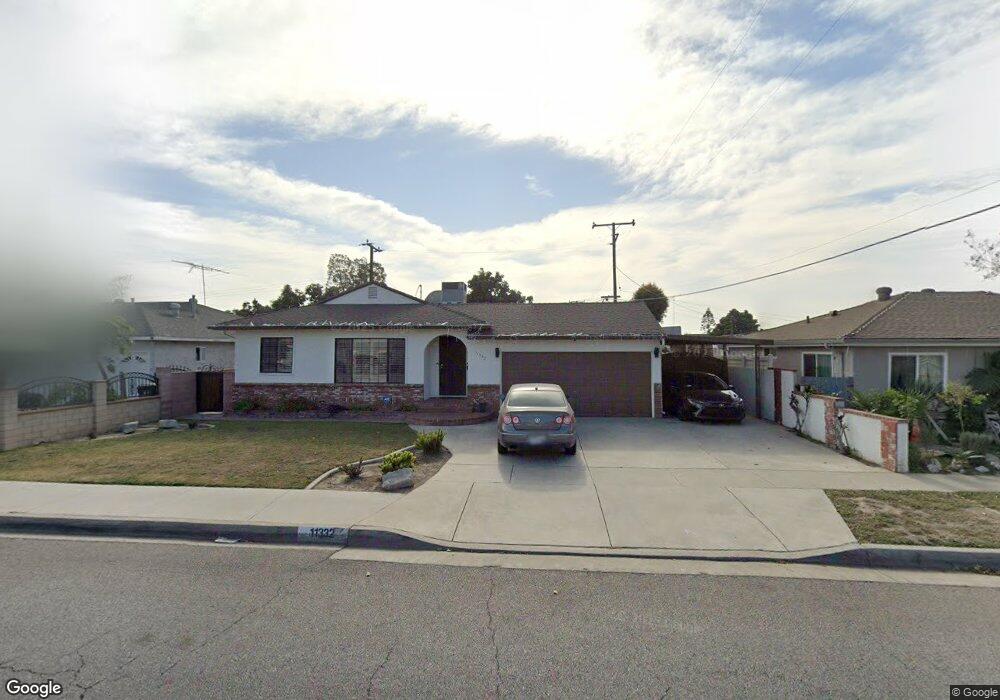
11332 Barnwall St Norwalk, CA 90650
Estimated Value: $753,021 - $814,000
3
Beds
2
Baths
1,433
Sq Ft
$553/Sq Ft
Est. Value
About This Home
This home is located at 11332 Barnwall St, Norwalk, CA 90650 and is currently estimated at $792,755, approximately $553 per square foot. 11332 Barnwall St is a home located in Los Angeles County with nearby schools including Loretta Lampton Elementary School, Los Alisos Middle School, and Norwalk High School.
Ownership History
Date
Name
Owned For
Owner Type
Purchase Details
Closed on
Nov 15, 2013
Sold by
Garcia Michael and Garcia Family Living Trust
Bought by
Garcia Michael
Current Estimated Value
Home Financials for this Owner
Home Financials are based on the most recent Mortgage that was taken out on this home.
Original Mortgage
$200,000
Outstanding Balance
$148,854
Interest Rate
4.18%
Mortgage Type
New Conventional
Estimated Equity
$643,901
Purchase Details
Closed on
Jul 9, 1996
Sold by
Garcia Salvador and Garcia Rosemary
Bought by
Garcia Salvador and Garcia Rosemary
Create a Home Valuation Report for This Property
The Home Valuation Report is an in-depth analysis detailing your home's value as well as a comparison with similar homes in the area
Home Values in the Area
Average Home Value in this Area
Purchase History
| Date | Buyer | Sale Price | Title Company |
|---|---|---|---|
| Garcia Michael | -- | None Available | |
| Garcia Salvador | -- | -- |
Source: Public Records
Mortgage History
| Date | Status | Borrower | Loan Amount |
|---|---|---|---|
| Open | Garcia Michael | $200,000 |
Source: Public Records
Tax History Compared to Growth
Tax History
| Year | Tax Paid | Tax Assessment Tax Assessment Total Assessment is a certain percentage of the fair market value that is determined by local assessors to be the total taxable value of land and additions on the property. | Land | Improvement |
|---|---|---|---|---|
| 2025 | $1,295 | $65,141 | $21,291 | $43,850 |
| 2024 | $1,295 | $63,865 | $20,874 | $42,991 |
| 2023 | $1,263 | $62,614 | $20,465 | $42,149 |
| 2022 | $1,238 | $61,387 | $20,064 | $41,323 |
| 2021 | $1,212 | $60,184 | $19,671 | $40,513 |
| 2019 | $1,181 | $58,401 | $19,089 | $39,312 |
| 2018 | $1,072 | $57,257 | $18,715 | $38,542 |
| 2016 | $1,007 | $55,037 | $17,990 | $37,047 |
| 2015 | $995 | $54,211 | $17,720 | $36,491 |
| 2014 | $953 | $53,150 | $17,373 | $35,777 |
Source: Public Records
Map
Nearby Homes
- 11302 Barnwall St
- 11343 Highdale St
- 11113 Barnwall St
- 11051 Molette St
- 15412 Allingham Ave
- 15532 Allingham Ave
- 11712 Ferina St
- 11558 Dartmouth Dr
- 15510 Pioneer Blvd
- 11603 Faculty Dr
- 11676 Chesterton St
- 11864 Hayford St
- 16341 Pioneer Blvd Unit 11
- 11857 Algardi St
- 11444 Stapleton Ct
- 11871 162nd St
- 14837 Piuma Ave
- 14508 Dumont Ave
- 16729 Alora Ave
- 11235 Park St
- 11338 Barnwall St
- 11322 Barnwall St
- 15439 Harvest Ave
- 15412 Longworth Ave
- 11344 Barnwall St
- 15441 Harvest Ave
- 15408 Longworth Ave
- 15416 Longworth Ave
- 15433 Harvest Ave
- 15328 Harvest Ave
- 15329 Harvest Ave
- 15420 Longworth Ave
- 15406 Longworth Ave
- 11350 Barnwall St
- 15322 Harvest Ave
- 15427 Harvest Ave
- 15503 Harvest Ave
- 15323 Harvest Ave
- 15428 Longworth Ave
- 15316 Harvest Ave