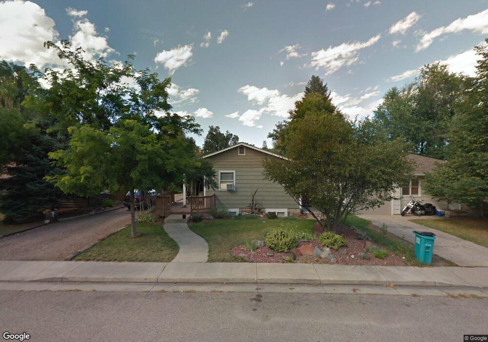
1134 W Myrtle St Fort Collins, CO 80521
Campus West NeighborhoodEstimated Value: $732,000 - $838,000
5
Beds
3
Baths
1,256
Sq Ft
$636/Sq Ft
Est. Value
About This Home
This home is located at 1134 W Myrtle St, Fort Collins, CO 80521 and is currently estimated at $798,267, approximately $635 per square foot. 1134 W Myrtle St is a home located in Larimer County with nearby schools including Dunn Elementary School, Lincoln Middle School, and Poudre High School.
Ownership History
Date
Name
Owned For
Owner Type
Purchase Details
Closed on
Dec 28, 2017
Sold by
Linfield Steven Kenneth and Linfield James Edward
Bought by
Linfield Steven Kenneth
Current Estimated Value
Purchase Details
Closed on
Nov 11, 1999
Sold by
Loghry Leland E Patricia J
Bought by
Linfield James E
Purchase Details
Closed on
Jun 1, 1981
Bought by
Loghry Leland E
Create a Home Valuation Report for This Property
The Home Valuation Report is an in-depth analysis detailing your home's value as well as a comparison with similar homes in the area
Home Values in the Area
Average Home Value in this Area
Purchase History
| Date | Buyer | Sale Price | Title Company |
|---|---|---|---|
| Linfield Steven Kenneth | -- | None Available | |
| Linfield James E | $28,100 | -- | |
| Loghry Leland E | $37,000 | -- |
Source: Public Records
Tax History Compared to Growth
Tax History
| Year | Tax Paid | Tax Assessment Tax Assessment Total Assessment is a certain percentage of the fair market value that is determined by local assessors to be the total taxable value of land and additions on the property. | Land | Improvement |
|---|---|---|---|---|
| 2025 | $4,285 | $48,341 | $4,087 | $44,254 |
| 2024 | $4,077 | $48,341 | $4,087 | $44,254 |
| 2022 | $3,674 | $38,907 | $4,240 | $34,667 |
| 2021 | $3,713 | $40,026 | $4,362 | $35,664 |
| 2020 | $2,743 | $29,316 | $4,362 | $24,954 |
| 2019 | $2,755 | $29,316 | $4,362 | $24,954 |
| 2018 | $2,988 | $32,789 | $4,392 | $28,397 |
| 2017 | $2,978 | $32,789 | $4,392 | $28,397 |
| 2016 | $2,559 | $28,036 | $4,856 | $23,180 |
| 2015 | $2,541 | $28,040 | $4,860 | $23,180 |
| 2014 | $1,969 | $21,580 | $3,580 | $18,000 |
Source: Public Records
Map
Nearby Homes
- 1127 W Mulberry St
- 1305 W Myrtle St
- 1100 W Mulberry St
- 518 City Park Ave
- 620 Armstrong Ave
- 720 City Park Ave Unit C320
- 720 City Park Ave Unit A115
- 720 City Park Ave Unit A113
- 1101 W Oak St
- 1517 Crestmore Place
- 1209 W Plum St Unit 7
- 1014 W Oak St
- 515 S Shields St
- 1615 W Mulberry St
- 521 S Bryan Ave
- 1150 W Mountain Ave
- 1002 W Mountain Ave
- 620 W Mulberry St
- 1221 University Ave Unit A201
- 1029 Laporte Ave
- 1130 W Myrtle St
- 1140 W Myrtle St
- 1126 W Myrtle St
- 1144 W Myrtle St
- 1124 W Myrtle St
- 1146 W Myrtle St
- 601 E Coy Dr
- 1122 W Myrtle St
- 620 W Coy Dr
- 1125 W Mulberry St
- 1200 W Myrtle St
- 1123 W Mulberry St
- 1129 W Mulberry St
- 605 E Coy Dr
- 600 E Coy Dr
- 1120 W Myrtle St
- 1121 W Mulberry St
- 624 W Coy Dr
- 1131 W Mulberry St
- 621 W Coy Dr