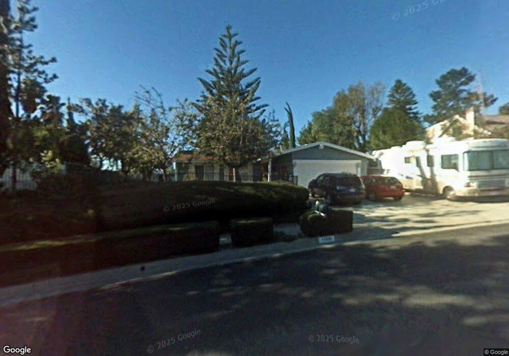
11341 Edenberg Ave Porter Ranch, CA 91326
Porter Ranch NeighborhoodEstimated Value: $896,296 - $1,042,000
4
Beds
2
Baths
1,403
Sq Ft
$710/Sq Ft
Est. Value
About This Home
This home is located at 11341 Edenberg Ave, Porter Ranch, CA 91326 and is currently estimated at $995,824, approximately $709 per square foot. 11341 Edenberg Ave is a home located in Los Angeles County with nearby schools including Robert Frost Middle School, Northridge Academy High, and Valley Academy of Arts & Sciences.
Ownership History
Date
Name
Owned For
Owner Type
Purchase Details
Closed on
Sep 13, 2002
Sold by
Thomson John E and Thomson Jennifer
Bought by
Thomson John Edward and Thomson Jennifer
Current Estimated Value
Purchase Details
Closed on
May 13, 1998
Sold by
Krisan Jennifer and Thomson Jennifer
Bought by
Thomson John E and Thomson Jennifer
Home Financials for this Owner
Home Financials are based on the most recent Mortgage that was taken out on this home.
Original Mortgage
$120,000
Interest Rate
7.13%
Create a Home Valuation Report for This Property
The Home Valuation Report is an in-depth analysis detailing your home's value as well as a comparison with similar homes in the area
Home Values in the Area
Average Home Value in this Area
Purchase History
| Date | Buyer | Sale Price | Title Company |
|---|---|---|---|
| Thomson John Edward | -- | -- | |
| Thomson John E | -- | First American Title Ins Co |
Source: Public Records
Mortgage History
| Date | Status | Borrower | Loan Amount |
|---|---|---|---|
| Closed | Thomson John E | $120,000 |
Source: Public Records
Tax History
| Year | Tax Paid | Tax Assessment Tax Assessment Total Assessment is a certain percentage of the fair market value that is determined by local assessors to be the total taxable value of land and additions on the property. | Land | Improvement |
|---|---|---|---|---|
| 2025 | $1,706 | $117,861 | $29,877 | $87,984 |
| 2024 | $1,706 | $115,551 | $29,292 | $86,259 |
| 2023 | $1,678 | $113,286 | $28,718 | $84,568 |
| 2022 | $1,611 | $111,065 | $28,155 | $82,910 |
| 2021 | $1,584 | $108,888 | $27,603 | $81,285 |
| 2019 | $1,543 | $105,660 | $26,785 | $78,875 |
| 2018 | $1,461 | $103,589 | $26,260 | $77,329 |
| 2016 | $1,384 | $99,569 | $25,242 | $74,327 |
| 2015 | $1,367 | $98,074 | $24,863 | $73,211 |
| 2014 | $1,381 | $96,153 | $24,376 | $71,777 |
Source: Public Records
Map
Nearby Homes
- 18520 Asuncion St
- 18772 Algiers St
- 11369 Darby Ave
- 11413 Etiwanda Ave
- 18371 Lahey St
- 18630 Nau Ave
- 11017 Baird Ave
- 11357 Yolanda Ave
- 11215 Wilbur Ave
- 18525 Entrada Ct
- 11753 Castillo Ln
- 11830 Killimore Ave
- 19137 Index St Unit 9
- 19140 Lahey St Unit 4
- 19040 Celtic St
- 18234 Tribune St
- 11050 Lindley Ave
- 18438 Los Alimos St
- 11861 Darby Ave
- 18938 Granada Cir
- 11349 Edenberg Ave
- 11333 Edenberg Ave
- 11300 Amigo Ave
- 11310 Amigo Ave
- 11294 Amigo Ave
- 11316 Amigo Ave
- 11357 Edenberg Ave
- 11335 Baird Ave
- 11356 Edenberg Ave
- 11318 Baird Ave
- 11324 Amigo Ave
- 11301 Amigo Ave
- 11320 Baird Ave
- 11341 Baird Ave
- 11367 Edenberg Ave
- 11330 Baird Ave
- 11315 Amigo Ave
- 11332 Amigo Ave
- 11366 Edenberg Ave
- 11321 Sinclair Ave
Your Personal Tour Guide
Ask me questions while you tour the home.