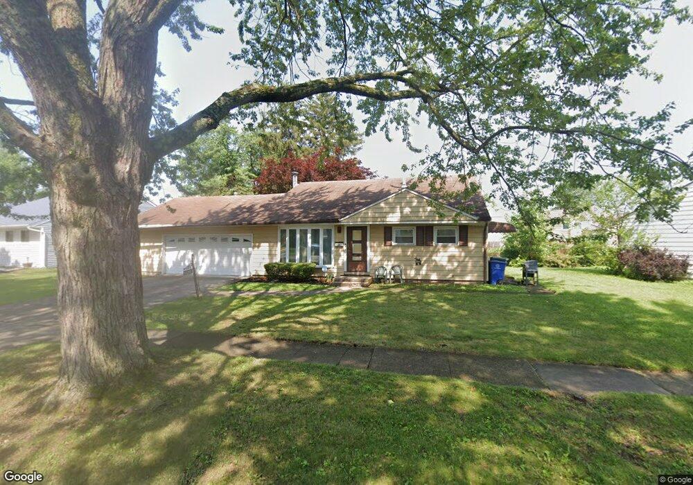
1135 Manfeld Dr Columbus, OH 43227
Shady Lane NeighborhoodEstimated Value: $190,000 - $262,000
3
Beds
2
Baths
1,358
Sq Ft
$171/Sq Ft
Est. Value
About This Home
This home is located at 1135 Manfeld Dr, Columbus, OH 43227 and is currently estimated at $231,814, approximately $170 per square foot. 1135 Manfeld Dr is a home located in Franklin County with nearby schools including Shady Lane Elementary School, Sherwood Middle School, and Walnut Ridge High School.
Ownership History
Date
Name
Owned For
Owner Type
Purchase Details
Closed on
Jul 29, 2011
Sold by
Craine Kevin A and The Barton Family Trust
Bought by
Ocansey Patricia A
Current Estimated Value
Home Financials for this Owner
Home Financials are based on the most recent Mortgage that was taken out on this home.
Original Mortgage
$76,653
Outstanding Balance
$52,900
Interest Rate
4.5%
Mortgage Type
FHA
Estimated Equity
$178,914
Purchase Details
Closed on
Feb 14, 2002
Sold by
Barton Peggy J
Bought by
Barton Peggy J and The Barton Family Trust
Purchase Details
Closed on
May 29, 2001
Sold by
Estate Of Michael Thomas Barton
Bought by
Barton Peggy J
Create a Home Valuation Report for This Property
The Home Valuation Report is an in-depth analysis detailing your home's value as well as a comparison with similar homes in the area
Home Values in the Area
Average Home Value in this Area
Purchase History
| Date | Buyer | Sale Price | Title Company |
|---|---|---|---|
| Ocansey Patricia A | $69,000 | Chase Title | |
| Barton Peggy J | -- | -- | |
| Barton Peggy J | -- | -- |
Source: Public Records
Mortgage History
| Date | Status | Borrower | Loan Amount |
|---|---|---|---|
| Open | Ocansey Patricia A | $76,653 |
Source: Public Records
Tax History Compared to Growth
Tax History
| Year | Tax Paid | Tax Assessment Tax Assessment Total Assessment is a certain percentage of the fair market value that is determined by local assessors to be the total taxable value of land and additions on the property. | Land | Improvement |
|---|---|---|---|---|
| 2024 | $3,070 | $68,400 | $16,980 | $51,420 |
| 2023 | $3,031 | $68,390 | $16,975 | $51,415 |
| 2022 | $1,854 | $35,740 | $7,910 | $27,830 |
| 2021 | $1,857 | $35,740 | $7,910 | $27,830 |
| 2020 | $1,859 | $35,740 | $7,910 | $27,830 |
| 2019 | $1,731 | $28,530 | $6,340 | $22,190 |
| 2018 | $1,641 | $28,530 | $6,340 | $22,190 |
| 2017 | $1,730 | $28,530 | $6,340 | $22,190 |
| 2016 | $1,714 | $25,870 | $5,850 | $20,020 |
| 2015 | $1,556 | $25,870 | $5,850 | $20,020 |
| 2014 | $1,559 | $25,870 | $5,850 | $20,020 |
| 2013 | $906 | $30,450 | $6,895 | $23,555 |
Source: Public Records
Map
Nearby Homes
- 4991 Justin Rd
- 1320 Nancy Ln
- 1130 Little Plum Ln
- 931 Antwerp Rd
- 1120 Fairway Blvd
- 1486 Efner Dr
- 855 Dimson Dr E
- 1616 Coppertree Rd Unit 1615
- 4677 E Livingston Ave
- 5366 Yorkshire Village Ln Unit B-22
- 1085 S Hamilton Rd
- 4662 Jae Ave
- 4501 Amesbury Rd
- 1281 Maetzel Dr
- 4484 Grimsby Rd
- 1678 Huxley Dr
- 4701 Janis Dr
- 1607 Shady Lane Rd
- 4571 Aragon Ave
- 4467 Grimsby Rd
- 1143 Manfeld Dr
- 5041 Justin Rd
- 1125 Manfeld Dr
- 5019 Mcallister Ave
- 1151 Manfeld Dr
- 5025 Mcallister Ave
- 5013 Mcallister Ave
- 1144 Manfeld Dr
- 1138 Manfeld Dr
- 1157 Manfeld Dr
- 1150 Manfeld Dr
- 1126 Manfeld Dr
- 1158 Manfeld Dr
- 5007 Mcallister Ave
- 5046 Justin Rd
- 1163 Manfeld Dr
- 1103 Manfeld Dr
- 5038 Justin Rd
- 0 Justin Rd
- 5012 Mcallister Ave