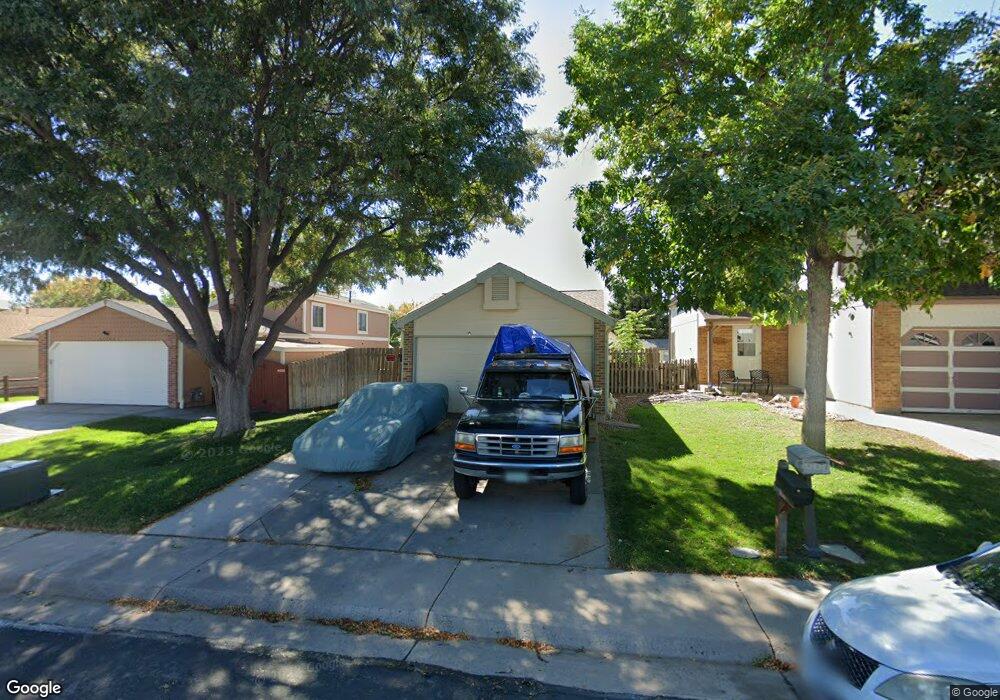
11353 Forest Dr Thornton, CO 80233
Woodglen NeighborhoodEstimated Value: $375,288 - $434,000
2
Beds
1
Bath
896
Sq Ft
$450/Sq Ft
Est. Value
About This Home
This home is located at 11353 Forest Dr, Thornton, CO 80233 and is currently estimated at $402,822, approximately $449 per square foot. 11353 Forest Dr is a home located in Adams County with nearby schools including Cherry Drive Elementary School, Shadow Ridge Middle School, and Mountain Range High School.
Ownership History
Date
Name
Owned For
Owner Type
Purchase Details
Closed on
May 25, 2011
Sold by
Mckinster Dale A and Mckinster Laura
Bought by
Mckinster Dale A
Current Estimated Value
Home Financials for this Owner
Home Financials are based on the most recent Mortgage that was taken out on this home.
Original Mortgage
$157,000
Outstanding Balance
$106,766
Interest Rate
4.65%
Mortgage Type
New Conventional
Estimated Equity
$296,056
Purchase Details
Closed on
Aug 30, 2000
Sold by
Eugene Steele Ii Cleophus and Scott Apryl S
Bought by
Mckinster Dale A and Mckinster Laura
Home Financials for this Owner
Home Financials are based on the most recent Mortgage that was taken out on this home.
Original Mortgage
$136,550
Interest Rate
7.96%
Mortgage Type
FHA
Purchase Details
Closed on
May 29, 1997
Sold by
Kaltenborn Scott H
Bought by
Steele Cleophus Eugene and Stotts Apryl S
Home Financials for this Owner
Home Financials are based on the most recent Mortgage that was taken out on this home.
Original Mortgage
$98,426
Interest Rate
8.1%
Mortgage Type
FHA
Purchase Details
Closed on
Aug 27, 1991
Create a Home Valuation Report for This Property
The Home Valuation Report is an in-depth analysis detailing your home's value as well as a comparison with similar homes in the area
Home Values in the Area
Average Home Value in this Area
Purchase History
| Date | Buyer | Sale Price | Title Company |
|---|---|---|---|
| Mckinster Dale A | -- | Land Title Guarantee Company | |
| Mckinster Dale A | $137,500 | -- | |
| Steele Cleophus Eugene | $99,000 | -- | |
| -- | -- | -- |
Source: Public Records
Mortgage History
| Date | Status | Borrower | Loan Amount |
|---|---|---|---|
| Open | Mckinster Dale A | $157,000 | |
| Closed | Mckinster Dale A | $136,550 | |
| Previous Owner | Steele Cleophus Eugene | $98,426 |
Source: Public Records
Tax History
| Year | Tax Paid | Tax Assessment Tax Assessment Total Assessment is a certain percentage of the fair market value that is determined by local assessors to be the total taxable value of land and additions on the property. | Land | Improvement |
|---|---|---|---|---|
| 2025 | $2,493 | $26,380 | $6,660 | $19,720 |
| 2024 | $2,493 | $24,260 | $6,130 | $18,130 |
| 2023 | $2,467 | $27,810 | $6,090 | $21,720 |
| 2022 | $2,085 | $18,930 | $6,190 | $12,740 |
| 2021 | $2,154 | $18,930 | $6,190 | $12,740 |
| 2020 | $2,192 | $19,650 | $6,360 | $13,290 |
| 2019 | $2,197 | $19,650 | $6,360 | $13,290 |
| 2018 | $1,819 | $15,810 | $6,120 | $9,690 |
| 2017 | $1,654 | $15,810 | $6,120 | $9,690 |
| 2016 | $1,214 | $11,300 | $3,340 | $7,960 |
| 2015 | $1,213 | $11,300 | $3,340 | $7,960 |
| 2014 | -- | $9,720 | $2,710 | $7,010 |
Source: Public Records
Map
Nearby Homes
- 11368 Forest Dr
- 5063 E 112th Ct
- 11465 Cherry Dr
- 5414 E 113th Ave
- 5241 E 111th Ct
- 4911 E 112th Place
- 5141 E 116th Ave
- 11323 Jersey Way
- 11117 Eudora Cir
- 11170 Cherry Cir
- 5155 E 117th Dr
- 11135 Clermont Dr
- 11030 Dahlia Dr
- 10985 Glencoe Place
- 11725 Forest Ct
- 4875 E 117th Dr
- 10979 Grange Creek Dr
- 5005 E 117th Ave
- 10899 Grange Creek Dr
- 4402 E 117th Ct
- 11361 Forest Dr
- 11345 Forest Dr
- 11369 Forest Dr
- 11337 Forest Dr
- 11290 Fairfax Ct
- 11291 Fairfax Ct
- 11280 Fairfax Ct
- 11352 Forest Dr
- 11377 Forest Dr
- 11328 Elm Dr
- 11360 Forest Dr
- 11303 Forest Dr
- 11344 Forest Dr
- 11281 Fairfax Ct
- 11336 Forest Dr
- 11320 Elm Dr
- 11270 Fairfax Ct
- 11293 Forest Dr
- 11312 Elm Dr
- 11328 Forest Dr
Your Personal Tour Guide
Ask me questions while you tour the home.