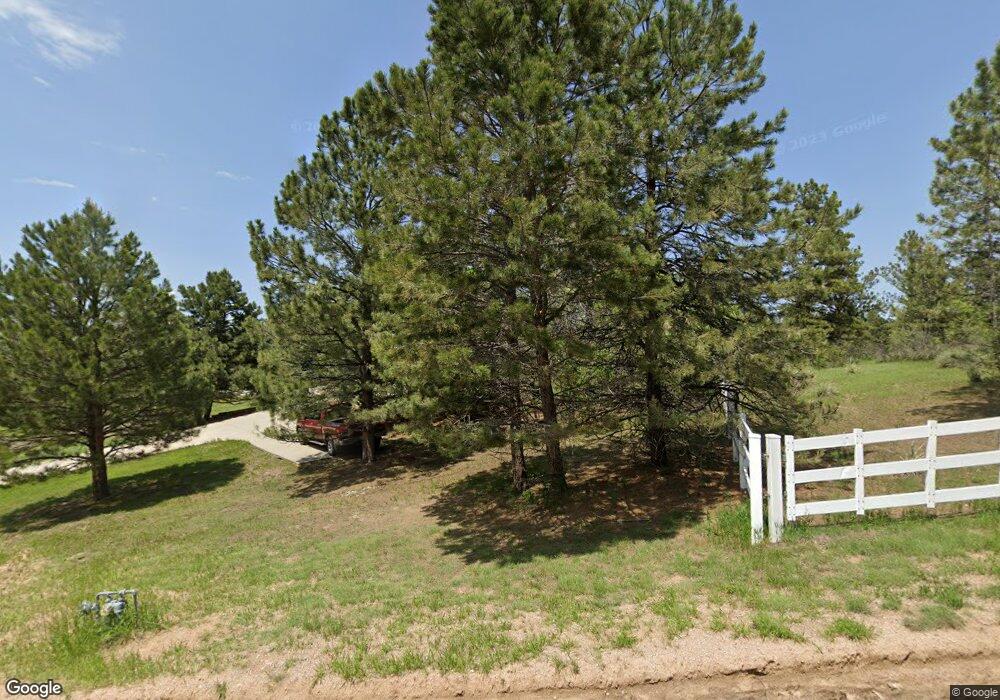
11356 Random Valley Cir Parker, CO 80134
Estimated Value: $929,000 - $1,370,000
3
Beds
3
Baths
2,313
Sq Ft
$505/Sq Ft
Est. Value
About This Home
This home is located at 11356 Random Valley Cir, Parker, CO 80134 and is currently estimated at $1,168,047, approximately $504 per square foot. 11356 Random Valley Cir is a home located in Douglas County with nearby schools including Mountain View Elementary School, Northeast Elementary School, and Sagewood Middle School.
Ownership History
Date
Name
Owned For
Owner Type
Purchase Details
Closed on
Mar 13, 1998
Sold by
Tedesco Ted W and Tedesco Patty A
Bought by
Hooper Jerome H and Hooper Pamela Ann
Current Estimated Value
Home Financials for this Owner
Home Financials are based on the most recent Mortgage that was taken out on this home.
Original Mortgage
$316,000
Outstanding Balance
$58,115
Interest Rate
7.08%
Estimated Equity
$1,109,932
Purchase Details
Closed on
Dec 31, 1996
Sold by
Snyder Loren R
Bought by
Tedesco Ted W Et Al Tedesco Patty A Et
Create a Home Valuation Report for This Property
The Home Valuation Report is an in-depth analysis detailing your home's value as well as a comparison with similar homes in the area
Home Values in the Area
Average Home Value in this Area
Purchase History
| Date | Buyer | Sale Price | Title Company |
|---|---|---|---|
| Hooper Jerome H | $371,775 | -- | |
| Tedesco Ted W Et Al Tedesco Patty A Et | $98,300 | -- |
Source: Public Records
Mortgage History
| Date | Status | Borrower | Loan Amount |
|---|---|---|---|
| Open | Hooper Jerome H | $316,000 |
Source: Public Records
Tax History Compared to Growth
Tax History
| Year | Tax Paid | Tax Assessment Tax Assessment Total Assessment is a certain percentage of the fair market value that is determined by local assessors to be the total taxable value of land and additions on the property. | Land | Improvement |
|---|---|---|---|---|
| 2024 | $6,104 | $74,510 | $33,160 | $41,350 |
| 2023 | $6,172 | $74,510 | $33,160 | $41,350 |
| 2022 | $4,429 | $52,900 | $20,770 | $32,130 |
| 2021 | $4,590 | $52,900 | $20,770 | $32,130 |
| 2020 | $4,352 | $51,320 | $20,310 | $31,010 |
| 2019 | $4,372 | $51,320 | $20,310 | $31,010 |
| 2018 | $4,116 | $47,460 | $16,670 | $30,790 |
| 2017 | $3,832 | $47,460 | $16,670 | $30,790 |
| 2016 | $3,843 | $46,670 | $15,920 | $30,750 |
| 2015 | $1,965 | $46,670 | $15,920 | $30,750 |
| 2014 | $3,840 | $42,610 | $15,920 | $26,690 |
Source: Public Records
Map
Nearby Homes
- 11421 Random Valley Cir
- 5126 Freddys Trail
- 10421 Remmick Ridge Rd
- 5622 Freddys Trail
- 10914 Remmick Ridge Rd
- SuperHome Plan at Independence - The Grand Collection
- Aspen Plan at Independence - The Grand Collection
- Stonehaven Plan at Independence - The Grand Collection
- 39638 Yorktown Terrace
- 39628 Yorktown Terrace
- 5600 Heritage Oak Dr
- Parklane Plan at Independence
- Manzanita Plan at Independence
- Brownstone Plan at Independence
- Brinnon II Plan at Independence
- Quincy Plan at Independence
- Pathmaker Plan at Independence
- 5625 Heritage Oak Dr
- 710 Lawson Dr
- 720 Lawson Dr
- 11388 Random Valley Cir
- 11326 Random Valley Cir
- 11341 Random Valley Cir
- 11275 Random Valley Cir
- 11351 Random Valley Cir
- 11296 Random Valley Cir
- 11320 Random Valley Cir
- 11420 Random Valley Cir
- 11225 Random Valley Cir
- 11312 Random Valley Cir
- 11264 Random Valley Cir
- 11452 Random Valley Cir
- 5070 Flintwood Rd
- 11455 Random Valley Cir
- 11236 Random Valley Cir
- 11478 Hilltop Rd
- 11482 Random Valley Cir
- 11116 Random Valley Cir
- 4814 Flintwood Rd
- 11015 Random Valley Cir