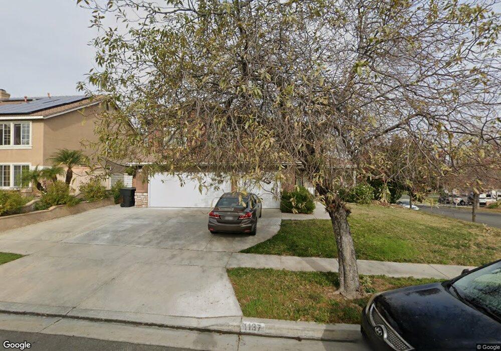
1137 Pampas Cir Corona, CA 92881
South Corona NeighborhoodEstimated Value: $829,491 - $961,000
About This Home
This home is located at 1137 Pampas Cir, Corona, CA 92881 and is currently estimated at $910,373, approximately $378 per square foot. 1137 Pampas Cir is a home located in Riverside County with nearby schools including Susan B. Anthony Elementary School, Citrus Hills Intermediate School, and Santiago High School.
Ownership History
We collect this data history from publicly available records. To have your information removed, we recommend requesting removal directly through your county’s website.
Purchase Details
Purchase Details
Purchase Details
Home Financials for this Owner
Home Financials are based on the most recent Mortgage that was taken out on this home.Home Values in the Area
Average Home Value in this Area
Purchase History
We collect this data history from publicly available records. To have your information removed, we recommend requesting removal directly through your county’s website.
| Date | Buyer | Sale Price | Title Company |
|---|---|---|---|
| -- | Stewart Title | ||
| $152,000 | First American Title Ins Co | ||
| $155,000 | First American Title Ins Co |
Mortgage History
We collect this data history from publicly available records. To have your information removed, we recommend requesting removal directly through your county’s website.
| Date | Status | Borrower | Loan Amount |
|---|---|---|---|
| Previous Owner | $159,639 |
Tax History
We collect this data history from publicly available records. To have your information removed, we recommend requesting removal directly through your county’s website.
| Year | Tax Paid | Tax Assessment Tax Assessment Total Assessment is a certain percentage of the fair market value that is determined by local assessors to be the total taxable value of land and additions on the property. | Land | Improvement |
|---|---|---|---|---|
| 2025 | $3,086 | $271,537 | $73,269 | $198,268 |
| 2023 | $3,086 | $260,995 | $70,425 | $190,570 |
| 2022 | $2,991 | $255,879 | $69,045 | $186,834 |
| 2021 | $2,934 | $250,863 | $67,692 | $183,171 |
| 2020 | $2,902 | $248,291 | $66,998 | $181,293 |
| 2019 | $2,838 | $243,424 | $65,685 | $177,739 |
| 2018 | $3,421 | $238,652 | $64,398 | $174,254 |
| 2017 | $3,551 | $233,974 | $63,136 | $170,838 |
| 2016 | $3,559 | $229,388 | $61,899 | $167,489 |
| 2015 | $3,515 | $225,944 | $60,970 | $164,974 |
| 2014 | $3,452 | $221,521 | $59,777 | $161,744 |
Map
- 2947 Gilbert Ave
- 1236 Kendrick Ct
- 3355 Shining Star Ln
- 2784 James St
- 0 Lester Ave
- 922 Armata Dr
- 855 Viewtop Cir
- 3142 Pinehurst Dr
- 1378 Coral Gables Cir
- 723 Pointe Vista Ln
- 3185 Sonrisa Dr
- 3630 Vanderbilt Dr
- 2536 Sweet Rain Way
- 820 Mountain Shadows Dr
- 2525 Ash St
- 1041 Stanislaus Dr
- 3043 Garretson Ave
- 3247 Willow Park Dr
- 960 Riverview Cir
- 970 Riverview Cir
- 1129 Pampas Cir
- 1138 Fernleaf Ln
- 1130 Fernleaf Ln
- 1121 Pampas Cir
- 3037 Petunia Way
- 3023 Petunia Way
- 1142 Pampas Cir
- 1122 Fernleaf Ln
- 1134 Pampas Cir
- 3051 Petunia Way
- 3009 Petunia Way
- 1126 Pampas Cir
- 1113 Pampas Cir
- 1114 Fernleaf Ln
- 3065 Petunia Way
- 3020 Pansy Cir
- 3032 Pansy Cir
- 1118 Pampas Cir
- 1137 Apple Blossom Ln
- 3008 Pansy Cir
Ask me questions while you tour the home.