1137 Weaver Rd McComb, MS 39648
Estimated Value: $206,000 - $313,000
Studio
--
Bath
2,575
Sq Ft
$104/Sq Ft
Est. Value
About This Home
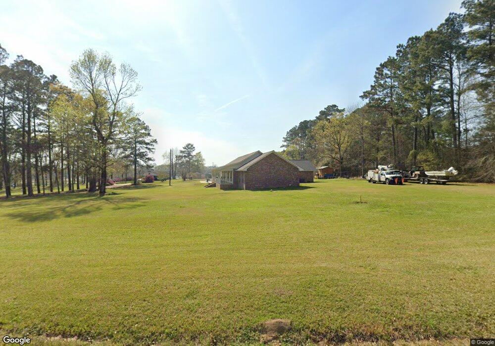
This home is located at 1137 Weaver Rd, McComb, MS 39648 and is currently estimated at $268,288, approximately $104 per square foot. 1137 Weaver Rd is a home with nearby schools including North Pike Elementary School, North Pike Middle School, and North Pike Senior High School.
Ownership History
Date
Name
Owned For
Owner Type
Purchase Details
Closed on
Feb 13, 2017
Sold by
Fortenberry Gregory Lee and Fortenberry Lisa D
Bought by
Norsworthy Jared and Norsworthy Kelley
Current Estimated Value
Home Financials for this Owner
Home Financials are based on the most recent Mortgage that was taken out on this home.
Original Mortgage
$181,017
Interest Rate
4.32%
Mortgage Type
Credit Line Revolving
Purchase Details
Closed on
Feb 23, 2009
Sold by
Fortenberry Gregory Lee
Bought by
Fortenberry Lisa D
Create a Home Valuation Report for This Property
The Home Valuation Report is an in-depth analysis detailing your home's value as well as a comparison with similar homes in the area
Purchase History
| Date | Buyer | Sale Price | Title Company |
|---|---|---|---|
| Norsworthy Jared | -- | None Available | |
| Fortenberry Lisa D | -- | None Available |
Source: Public Records
Mortgage History
| Date | Status | Borrower | Loan Amount |
|---|---|---|---|
| Closed | Norsworthy Jared | $181,017 |
Source: Public Records
Tax History
| Year | Tax Paid | Tax Assessment Tax Assessment Total Assessment is a certain percentage of the fair market value that is determined by local assessors to be the total taxable value of land and additions on the property. | Land | Improvement |
|---|---|---|---|---|
| 2025 | $3,032 | $24,619 | $0 | $0 |
| 2024 | $2,062 | $17,192 | $0 | $0 |
| 2023 | $2,011 | $17,192 | $0 | $0 |
| 2022 | $1,978 | $17,192 | $0 | $0 |
| 2021 | $1,677 | $14,956 | $0 | $0 |
| 2020 | $1,716 | $15,192 | $0 | $0 |
| 2019 | $1,667 | $15,192 | $0 | $0 |
| 2018 | $1,654 | $15,192 | $0 | $0 |
| 2017 | $1,256 | $12,363 | $0 | $0 |
| 2016 | $1,074 | $12,363 | $0 | $0 |
| 2015 | -- | $11,818 | $0 | $0 |
| 2014 | -- | $11,179 | $0 | $0 |
| 2013 | -- | $11,179 | $0 | $0 |
Source: Public Records
Map
Nearby Homes
- No Integrity Rd
- 0 Integrity Rd
- 2067 McComb Hville Rd
- 2159 Oakdale Rd
- 0 Morgantown Rd Unit 4125975
- 0 Old 24 Hwy
- 1047 Old Highway 24
- 0 Shady Lane Dr
- 1002 Pershing St
- 1148 Morgantown Rd
- X Wild Estate
- 0 Deer Ridge Rd
- 1021 Great Point Rd
- 1011 Eastover Ln
- 1019 Pearl River Avenue Extension
- 1047 Lenoir Sellers Rd
- 219 S Live Oak St
- 1031 Pearl River Ave
- 505 S Magnolia St
- 318 S Cherry St
Your Personal Tour Guide
Ask me questions while you tour the home.