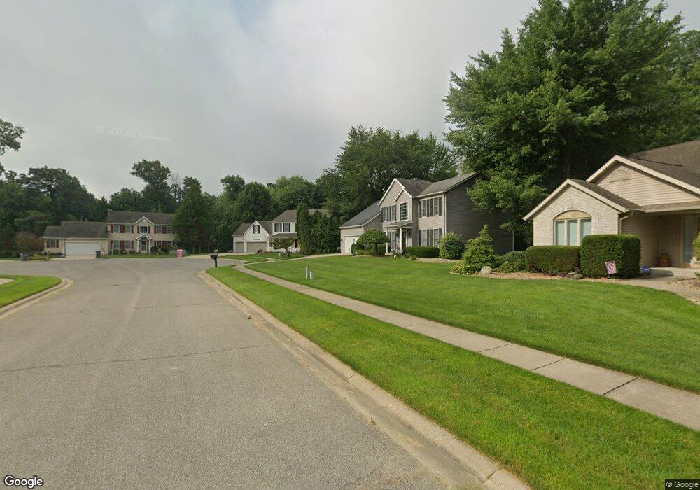
11376 Wilkins Mill Dr Granger, IN 46530
Estimated Value: $485,185 - $522,000
4
Beds
3
Baths
2,809
Sq Ft
$179/Sq Ft
Est. Value
About This Home
This home is located at 11376 Wilkins Mill Dr, Granger, IN 46530 and is currently estimated at $501,796, approximately $178 per square foot. 11376 Wilkins Mill Dr is a home located in St. Joseph County with nearby schools including Mary Frank Harris Elementary School, Discovery Middle School, and Penn High School.
Ownership History
Date
Name
Owned For
Owner Type
Purchase Details
Closed on
Jul 10, 2020
Sold by
Agnolin Trevor J
Bought by
Agnolin Trevor J and Ailey Shannon
Current Estimated Value
Purchase Details
Closed on
Jun 28, 2013
Sold by
Salmons Jason D
Bought by
Salmons Cari L
Purchase Details
Closed on
Jun 4, 2009
Sold by
Creakbaum Jon and Creekbaum Samantha
Bought by
Salmons Jason D and Salmons Cari L
Home Financials for this Owner
Home Financials are based on the most recent Mortgage that was taken out on this home.
Original Mortgage
$238,009
Interest Rate
4.83%
Mortgage Type
VA
Create a Home Valuation Report for This Property
The Home Valuation Report is an in-depth analysis detailing your home's value as well as a comparison with similar homes in the area
Home Values in the Area
Average Home Value in this Area
Purchase History
| Date | Buyer | Sale Price | Title Company |
|---|---|---|---|
| Agnolin Trevor J | -- | Metropolitan Title | |
| Agnolin Trevor J | -- | Metropolitan Title | |
| Salmons Cari L | -- | -- | |
| Salmons Jason D | -- | Metropolitan Title In Llc |
Source: Public Records
Mortgage History
| Date | Status | Borrower | Loan Amount |
|---|---|---|---|
| Previous Owner | Salmons Jason D | $238,009 |
Source: Public Records
Tax History Compared to Growth
Tax History
| Year | Tax Paid | Tax Assessment Tax Assessment Total Assessment is a certain percentage of the fair market value that is determined by local assessors to be the total taxable value of land and additions on the property. | Land | Improvement |
|---|---|---|---|---|
| 2024 | $3,782 | $426,900 | $95,300 | $331,600 |
| 2023 | $3,734 | $426,700 | $94,900 | $331,800 |
| 2022 | $4,217 | $426,700 | $94,900 | $331,800 |
| 2021 | $3,523 | $348,800 | $46,500 | $302,300 |
| 2020 | $2,785 | $284,400 | $33,500 | $250,900 |
| 2019 | $2,729 | $278,800 | $32,100 | $246,700 |
| 2018 | $2,732 | $283,000 | $31,700 | $251,300 |
| 2017 | $2,183 | $227,500 | $25,700 | $201,800 |
| 2016 | $2,258 | $229,400 | $25,700 | $203,700 |
| 2014 | $2,374 | $231,100 | $25,700 | $205,400 |
Source: Public Records
Map
Nearby Homes
- 11560 Greyson Alan Dr
- 51030 Birch Rd
- 11540 Greyson Alan Dr
- 11625 Sharpe Bridge Ct
- 50778 Brownstone Dr
- 71287 M 62
- 10700 Adams Rd
- 50633 Weeping Willow Run W
- 10267 Peotone Dr
- 12276 Pennyroyal Ln
- 10080 Pemburry Dr
- 71599 State Line Rd
- 10300 Patricia Church Dr
- 71353 State Line Rd
- 10231 Ashleys Meadow Dr
- 13206 Adams Rd
- 15 Ashley Rd
- 12793 Brick Rd Unit Lot 4
- 13 Ashley Rd
- 17 Ashley Rd
- 11376 Wilkins Mill Ct
- 11396 Wilkins Mill Dr
- 11370 Wilkins Mill Dr
- 11416 Wilkins Mill Dr
- 50860 Oakbridge Ct
- 11393 Wilkins Mill Dr
- 11377 Wilkins Mill Dr
- 50840 Oakbridge Ct
- 50820 Oakbridge Ct
- 11440 Wilkins Mill Dr
- 50800 Oakbridge Ct
- 11407 Wilkins Mill Dr
- 50880 Oakbridge Ct
- 50835 Oakbridge Ct
- 11476 Wilkins Mill Dr
- 50797 Oakbridge Ct
- 50875 Oakbridge Ct
- 50891 Sturbridge Dr
- 50815 Oakbridge Ct
- 50855 Oakbridge Ct