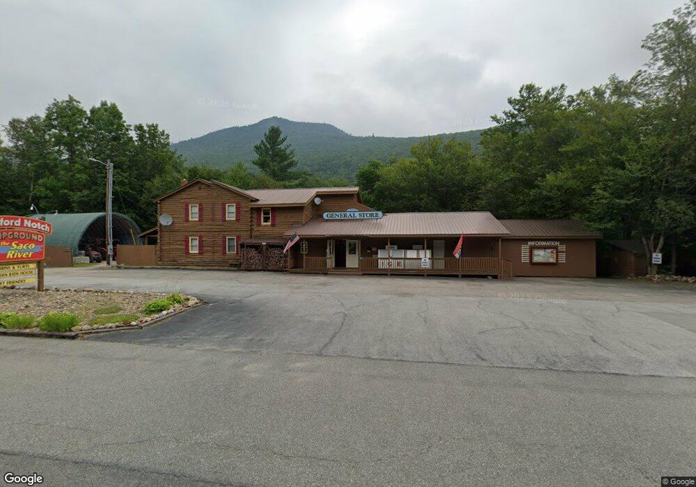
1138 Us Route 302 Harts Location, NH 03812
Estimated Value: $402,000 - $691,000
3
Beds
2
Baths
1,435
Sq Ft
$406/Sq Ft
Est. Value
About This Home
This home is located at 1138 Us Route 302, Harts Location, NH 03812 and is currently estimated at $582,000, approximately $405 per square foot. 1138 Us Route 302 is a home with nearby schools including Josiah Bartlett Elementary School.
Ownership History
Date
Name
Owned For
Owner Type
Purchase Details
Closed on
Apr 15, 2008
Sold by
Powell Marvin L and Powell Glenn M
Bought by
Garabedian Richard J
Current Estimated Value
Home Financials for this Owner
Home Financials are based on the most recent Mortgage that was taken out on this home.
Original Mortgage
$862,000
Outstanding Balance
$555,366
Interest Rate
6.3%
Mortgage Type
Purchase Money Mortgage
Estimated Equity
$26,634
Create a Home Valuation Report for This Property
The Home Valuation Report is an in-depth analysis detailing your home's value as well as a comparison with similar homes in the area
Home Values in the Area
Average Home Value in this Area
Purchase History
| Date | Buyer | Sale Price | Title Company |
|---|---|---|---|
| Garabedian Richard J | $760,000 | -- |
Source: Public Records
Mortgage History
| Date | Status | Borrower | Loan Amount |
|---|---|---|---|
| Open | Garabedian Richard J | $862,000 |
Source: Public Records
Tax History Compared to Growth
Tax History
| Year | Tax Paid | Tax Assessment Tax Assessment Total Assessment is a certain percentage of the fair market value that is determined by local assessors to be the total taxable value of land and additions on the property. | Land | Improvement |
|---|---|---|---|---|
| 2024 | $1,902 | $340,900 | $141,000 | $199,900 |
| 2023 | $1,759 | $340,900 | $141,000 | $199,900 |
| 2022 | $1,694 | $340,900 | $141,000 | $199,900 |
| 2021 | $1,767 | $185,400 | $88,500 | $96,900 |
| 2020 | $1,791 | $185,400 | $88,500 | $96,900 |
| 2019 | $1,732 | $185,400 | $88,500 | $96,900 |
| 2018 | $1,693 | $185,400 | $88,500 | $96,900 |
| 2016 | $1,473 | $155,000 | $65,600 | $89,400 |
| 2015 | $1,479 | $155,000 | $65,600 | $89,400 |
| 2014 | $1,517 | $155,000 | $65,600 | $89,400 |
| 2010 | $1,622 | $177,300 | $79,300 | $98,000 |
Source: Public Records
Map
Nearby Homes
- 00 US Route 302 Unit L00
- 00 U S Route 302
- 70 River St
- 00 Tall Woods Loop Unit 9
- 12 Forest Ave
- 0 U S 302 Unit 1 and 2 5003976
- 10 River Run Dr Unit G
- 8 River Run Dr Unit J
- 8 River Run Dr Unit H
- 1 River Run Dr Unit Week 43 - Oct. 25-No
- 2E/F River Run Dr Unit E/F
- 83 Parker Ridge Rd
- 30 Parker Ridge Rd
- 0 Parker Ridge Rd Unit 47 5058947
- 46 Ammonoosuc Dr
- F4 Cave Mountain Rd
- 31 Cave Mountain Rd
- 7B-3 Summit Vista Rd
- 4 Seasons at Attitash Rd Unit D
- 2 Seasons at Attitash Rd
- 1138 Us Highway 302
- 1146 Us Rt 302
- 10 Hummingbird Ln
- 1140 Us Route 302
- 1152 Us Route 302
- 8 Local Ln
- 1134 Us Route 302
- 1154 Us Route 302
- 1129 Us Route 302
- 1147 Us Route 302
- 12 Local Ln
- 1669 Us Route 302
- 1117 Us Route 302
- 1164 Us Route 302
- 1126 Us Route 302
- 1126 Us Highway 302
- 1126 Us Route 302
- 21 Local Ln
- 51a Rolling Ridge Rd Unit 3
- 309 Rolling Ridge Rd