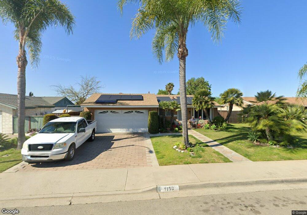
1139 Hoover St Escondido, CA 92027
Midway NeighborhoodEstimated Value: $742,000 - $847,000
4
Beds
2
Baths
1,584
Sq Ft
$494/Sq Ft
Est. Value
About This Home
This home is located at 1139 Hoover St, Escondido, CA 92027 and is currently estimated at $782,023, approximately $493 per square foot. 1139 Hoover St is a home located in San Diego County with nearby schools including Pioneer Elementary School, Mission Middle, and Escondido High School.
Ownership History
Date
Name
Owned For
Owner Type
Purchase Details
Closed on
May 31, 1995
Sold by
Ashley William E and Ashley Mary P
Bought by
Palafox Sandoval Francisco and Sandoval Palafox Teodora
Current Estimated Value
Home Financials for this Owner
Home Financials are based on the most recent Mortgage that was taken out on this home.
Original Mortgage
$114,900
Interest Rate
8.36%
Purchase Details
Closed on
Aug 11, 1988
Purchase Details
Closed on
Feb 13, 1984
Create a Home Valuation Report for This Property
The Home Valuation Report is an in-depth analysis detailing your home's value as well as a comparison with similar homes in the area
Home Values in the Area
Average Home Value in this Area
Purchase History
| Date | Buyer | Sale Price | Title Company |
|---|---|---|---|
| Palafox Sandoval Francisco | $118,500 | Continental Lawyers Title | |
| -- | $125,000 | -- | |
| -- | $75,000 | -- |
Source: Public Records
Mortgage History
| Date | Status | Borrower | Loan Amount |
|---|---|---|---|
| Closed | Palafox Sandoval Francisco | $114,900 |
Source: Public Records
Tax History Compared to Growth
Tax History
| Year | Tax Paid | Tax Assessment Tax Assessment Total Assessment is a certain percentage of the fair market value that is determined by local assessors to be the total taxable value of land and additions on the property. | Land | Improvement |
|---|---|---|---|---|
| 2025 | $2,258 | $199,012 | $67,170 | $131,842 |
| 2024 | $2,258 | $195,110 | $65,853 | $129,257 |
| 2023 | $2,206 | $191,285 | $64,562 | $126,723 |
| 2022 | $2,182 | $187,536 | $63,297 | $124,239 |
| 2021 | $2,147 | $183,859 | $62,056 | $121,803 |
| 2020 | $2,135 | $181,975 | $61,420 | $120,555 |
| 2019 | $2,084 | $178,408 | $60,216 | $118,192 |
| 2018 | $2,027 | $174,911 | $59,036 | $115,875 |
| 2017 | $1,994 | $171,482 | $57,879 | $113,603 |
| 2016 | $1,955 | $168,121 | $56,745 | $111,376 |
| 2015 | $1,939 | $165,597 | $55,893 | $109,704 |
| 2014 | $1,860 | $162,355 | $54,799 | $107,556 |
Source: Public Records
Map
Nearby Homes
- 1247 Armstrong Cir
- 1217 Armstrong Cir
- 1271 Marjorie Place
- 1213 Rembrandt Glen
- 934 Venice Glen
- 809 Buchanan St
- 1215 E Mission Ave
- 1342 N Elm St
- 1466 Conway Dr Unit 227-520-65-00
- 706 N Ash St
- 1085 N Grape St
- 1429 Taylor Ave
- 915 N Fig St Unit E
- 1040 E Washington Ave Unit 33
- 1060 E Washington Ave Unit 5
- 1010 E Washington Ave Unit 83
- 1020 E Washington Ave Unit 88
- 1572 Tibidabo Dr
- 1050 E Washington Ave Unit 44
- 1234 N Ivy St
- 1129 Hoover St
- 1149 Hoover St
- 1233 Armstrong Cir
- 1119 Hoover St
- 1159 Hoove N St
- 1159 Hoover St
- 1235 Armstrong Cir
- 1249 Kent Ave
- 1231 Armstrong Cir
- 1140 Hoover St
- 1130 Hoover St
- 1150 Hoover St
- 1109 Hoover St
- 1243 Kent Ave
- 1120 Hoover St
- 1229 Armstrong Cir
- 1237 Armstrong Cir
- 1160 Hoover St
- 1239 Kent Ave
- 1103 Hoover St