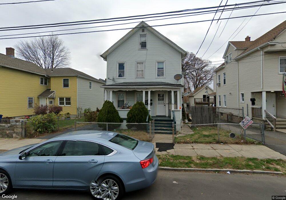
114 Beers St Unit 116 Bridgeport, CT 06606
Brooklawn-Saint Vincent NeighborhoodEstimated Value: $429,963 - $553,000
4
Beds
2
Baths
2,302
Sq Ft
$217/Sq Ft
Est. Value
About This Home
This home is located at 114 Beers St Unit 116, Bridgeport, CT 06606 and is currently estimated at $499,491, approximately $216 per square foot. 114 Beers St Unit 116 is a home located in Fairfield County with nearby schools including Read School, Central High School, and Catholic Academy of Bridgeport-St. Raphael Academy.
Ownership History
Date
Name
Owned For
Owner Type
Purchase Details
Closed on
Aug 12, 2013
Sold by
Flores Sandra
Bought by
Mendoza Willington
Current Estimated Value
Purchase Details
Closed on
Nov 29, 2005
Sold by
Lilley Kevin
Bought by
Flores Sandra and Mendoza Wilington
Home Financials for this Owner
Home Financials are based on the most recent Mortgage that was taken out on this home.
Original Mortgage
$248,450
Interest Rate
6.06%
Purchase Details
Closed on
Jan 15, 2003
Sold by
Tomatore James and Tomatore Ann F
Bought by
Lilley Kevin
Create a Home Valuation Report for This Property
The Home Valuation Report is an in-depth analysis detailing your home's value as well as a comparison with similar homes in the area
Home Values in the Area
Average Home Value in this Area
Purchase History
| Date | Buyer | Sale Price | Title Company |
|---|---|---|---|
| Mendoza Willington | -- | -- | |
| Mendoza Willington | -- | -- | |
| Flores Sandra | $255,000 | -- | |
| Flores Sandra | $255,000 | -- | |
| Lilley Kevin | $176,000 | -- | |
| Lilley Kevin | $176,000 | -- |
Source: Public Records
Mortgage History
| Date | Status | Borrower | Loan Amount |
|---|---|---|---|
| Open | Lilley Kevin | $218,464 | |
| Previous Owner | Lilley Kevin | $248,450 |
Source: Public Records
Tax History Compared to Growth
Tax History
| Year | Tax Paid | Tax Assessment Tax Assessment Total Assessment is a certain percentage of the fair market value that is determined by local assessors to be the total taxable value of land and additions on the property. | Land | Improvement |
|---|---|---|---|---|
| 2025 | $6,916 | $159,170 | $67,130 | $92,040 |
| 2024 | $6,916 | $159,170 | $67,130 | $92,040 |
| 2023 | $6,916 | $159,170 | $67,130 | $92,040 |
| 2022 | $6,916 | $159,170 | $67,130 | $92,040 |
| 2021 | $6,916 | $159,170 | $67,130 | $92,040 |
| 2020 | $5,985 | $110,850 | $40,680 | $70,170 |
| 2019 | $5,985 | $110,850 | $40,680 | $70,170 |
| 2018 | $6,027 | $110,850 | $40,680 | $70,170 |
| 2017 | $6,027 | $110,850 | $40,680 | $70,170 |
| 2016 | $6,027 | $110,850 | $40,680 | $70,170 |
| 2015 | $5,749 | $136,230 | $41,020 | $95,210 |
| 2014 | $5,749 | $136,230 | $41,020 | $95,210 |
Source: Public Records
Map
Nearby Homes
- 78 Fairmount Ave
- 90 Tom Thumb St
- 31 Taft Ave
- 390 Charles St Unit 106
- 76 Porter St
- 2395 Main St Unit 2397
- 724 Capitol Ave Unit 726
- 191 Oak St
- 318 Center St
- 119 Madison Terrace
- 356 Taft Ave
- 100 Lorraine St
- 330 French St
- 183 Calhoun Ave
- 1275 Capitol Ave
- 201 High Ridge Dr
- 508 Hawley Ave
- 139 Highland Ave Unit 143
- 2345 Park Ave
- 75 Sanford Ave