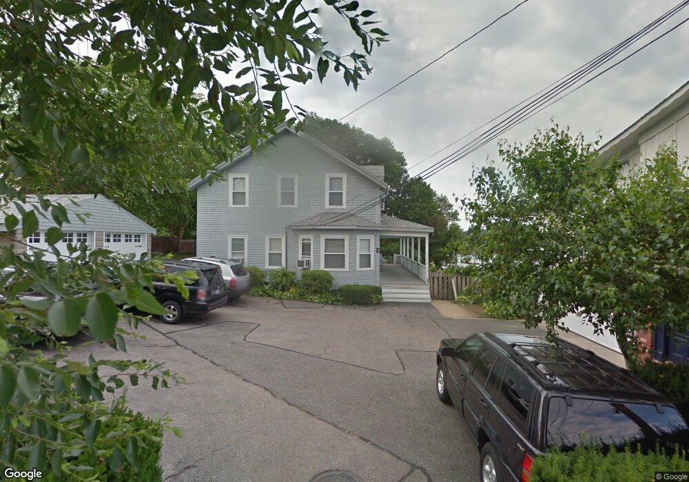
114 Fort Ave Unit 1 Cranston, RI 02905
Edgewood NeighborhoodEstimated Value: $496,000 - $863,717
4
Beds
3
Baths
1,985
Sq Ft
$314/Sq Ft
Est. Value
About This Home
This home is located at 114 Fort Ave Unit 1, Cranston, RI 02905 and is currently estimated at $623,572, approximately $314 per square foot. 114 Fort Ave Unit 1 is a home located in Providence County with nearby schools including Edward S. Rhodes School, Park View Middle School, and Cranston High School East.
Ownership History
Date
Name
Owned For
Owner Type
Purchase Details
Closed on
Apr 26, 2017
Sold by
Cuddy Peter N and Cuddy Kristen F
Bought by
Cuddy Peter N and Cuddy Kristen F
Current Estimated Value
Home Financials for this Owner
Home Financials are based on the most recent Mortgage that was taken out on this home.
Original Mortgage
$279,000
Outstanding Balance
$232,739
Interest Rate
4.3%
Mortgage Type
New Conventional
Estimated Equity
$390,833
Purchase Details
Closed on
Feb 16, 2016
Sold by
Cuddy Michael A and Cuddy Sandra J
Bought by
Forbes Kristen L and Cuddy Peter N
Home Financials for this Owner
Home Financials are based on the most recent Mortgage that was taken out on this home.
Original Mortgage
$275,000
Interest Rate
4.02%
Purchase Details
Closed on
Jul 23, 2013
Sold by
Doorley 3Rd James H and Doorley Kiberly N
Bought by
Lane John H
Home Financials for this Owner
Home Financials are based on the most recent Mortgage that was taken out on this home.
Original Mortgage
$276,600
Interest Rate
3.92%
Create a Home Valuation Report for This Property
The Home Valuation Report is an in-depth analysis detailing your home's value as well as a comparison with similar homes in the area
Home Values in the Area
Average Home Value in this Area
Purchase History
| Date | Buyer | Sale Price | Title Company |
|---|---|---|---|
| Cuddy Peter N | -- | -- | |
| Forbes Kristen L | $525,000 | -- | |
| Lane John H | $347,000 | -- |
Source: Public Records
Mortgage History
| Date | Status | Borrower | Loan Amount |
|---|---|---|---|
| Open | Forbes Kristen L | $279,000 | |
| Previous Owner | Forbes Kristen L | $275,000 | |
| Previous Owner | Forbes Kristen L | $205,000 | |
| Previous Owner | Forbes Kristen L | $328,000 | |
| Previous Owner | Lane John H | $276,600 |
Source: Public Records
Tax History Compared to Growth
Tax History
| Year | Tax Paid | Tax Assessment Tax Assessment Total Assessment is a certain percentage of the fair market value that is determined by local assessors to be the total taxable value of land and additions on the property. | Land | Improvement |
|---|---|---|---|---|
| 2025 | $10,023 | $722,100 | $0 | $722,100 |
| 2024 | $9,828 | $722,100 | $0 | $722,100 |
| 2023 | $10,242 | $541,900 | $0 | $541,900 |
| 2022 | $10,031 | $541,900 | $0 | $541,900 |
| 2021 | $9,754 | $541,900 | $0 | $541,900 |
| 2020 | $10,302 | $496,000 | $0 | $496,000 |
| 2019 | $10,302 | $496,000 | $0 | $496,000 |
| 2018 | $10,064 | $496,000 | $0 | $496,000 |
| 2017 | $9,275 | $404,300 | $0 | $404,300 |
| 2016 | $9,077 | $404,300 | $0 | $404,300 |
| 2015 | $9,077 | $404,300 | $0 | $404,300 |
| 2014 | $10,938 | $478,900 | $0 | $478,900 |
Source: Public Records
Map
Nearby Homes
- 25 Seaview Ave
- 19 Remington St
- 28 Manchester St
- 8 Atlantic Ave
- 31 Longwood Ave
- 200 Post Rd Unit 411
- 200 Post Rd Unit 603
- 55 Longwood Ave
- 400 Narragansett Pkwy Unit WA11
- 21 Madison St
- 10 Rogers Rd
- 95 Roosevelt St
- 12 Harbour Terrace
- 92 Washington St
- 345 Post Rd
- 41 Drake Rd
- 14 Park Ave
- 32 Country Club Dr
- 196 Harrison Ave
- 56 Errol St