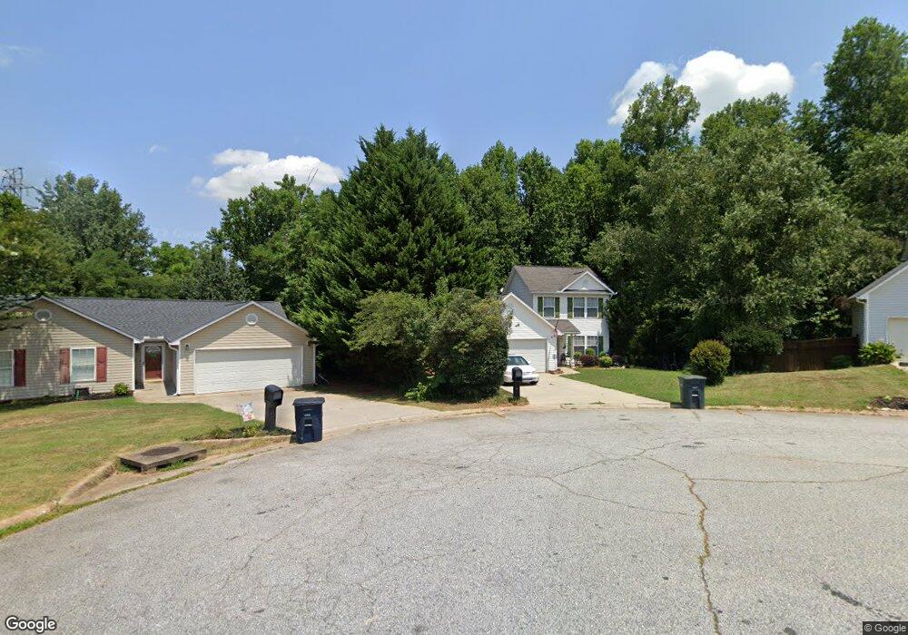
114 Sentry Ln Anderson, SC 29621
Estimated Value: $238,725 - $261,000
3
Beds
2
Baths
1,204
Sq Ft
$210/Sq Ft
Est. Value
About This Home
This home is located at 114 Sentry Ln, Anderson, SC 29621 and is currently estimated at $252,931, approximately $210 per square foot. 114 Sentry Ln is a home located in Anderson County with nearby schools including Concord Elementary School, McCants Middle School, and T.L. Hanna High School.
Ownership History
Date
Name
Owned For
Owner Type
Purchase Details
Closed on
Feb 3, 2026
Sold by
Langford Valinda
Bought by
Fragassi Michael
Current Estimated Value
Purchase Details
Closed on
Oct 13, 2006
Sold by
Swaim Jonathan Carl and Swaim Bethany Smith
Bought by
Langford Valinda A
Home Financials for this Owner
Home Financials are based on the most recent Mortgage that was taken out on this home.
Original Mortgage
$99,600
Interest Rate
6.31%
Mortgage Type
Purchase Money Mortgage
Purchase Details
Closed on
Aug 15, 2003
Sold by
Swaim C S
Bought by
Swaim Jonathan C
Purchase Details
Closed on
Oct 9, 2001
Sold by
Merritt Wallace L
Bought by
Swaim C Steve
Create a Home Valuation Report for This Property
The Home Valuation Report is an in-depth analysis detailing your home's value as well as a comparison with similar homes in the area
Home Values in the Area
Average Home Value in this Area
Purchase History
| Date | Buyer | Sale Price | Title Company |
|---|---|---|---|
| Fragassi Michael | $142,000 | None Listed On Document | |
| Langford Valinda A | $125,400 | None Available | |
| Swaim Jonathan C | $100,000 | -- | |
| Swaim C Steve | $94,000 | -- | |
| Ferguson Mark | $75,000 | -- |
Source: Public Records
Mortgage History
| Date | Status | Borrower | Loan Amount |
|---|---|---|---|
| Previous Owner | Langford Valinda A | $99,600 |
Source: Public Records
Tax History
| Year | Tax Paid | Tax Assessment Tax Assessment Total Assessment is a certain percentage of the fair market value that is determined by local assessors to be the total taxable value of land and additions on the property. | Land | Improvement |
|---|---|---|---|---|
| 2024 | $3,604 | $9,290 | $1,630 | $7,660 |
| 2023 | $3,613 | $9,290 | $1,630 | $7,660 |
| 2022 | $3,524 | $9,290 | $1,630 | $7,660 |
| 2021 | $3,225 | $7,300 | $1,080 | $6,220 |
| 2020 | $3,192 | $7,300 | $1,080 | $6,220 |
| 2019 | $3,192 | $7,300 | $1,080 | $6,220 |
| 2018 | $3,160 | $7,300 | $1,080 | $6,220 |
| 2017 | -- | $7,300 | $1,080 | $6,220 |
| 2016 | $1,064 | $4,520 | $680 | $3,840 |
| 2015 | $1,076 | $4,520 | $680 | $3,840 |
| 2014 | $1,071 | $4,520 | $680 | $3,840 |
Source: Public Records
Map
Nearby Homes
- 405 Botany Ln
- 402 Botany Ln
- 707 Weathered Oak Way
- 112 Briar Creek Ln
- 101 Briar Creek Ln
- 507 Barcliff Ln
- Hobson E West Pkwy
- 123 Elmhurst Ln
- 309 Kings Rd
- 112 Rustic Ln
- 131 Evonshire Blvd
- 163 Evonshire Blvd
- 106 Cherokee Cir
- 1015 Whirlaway Cir
- 304 Arcadia Dr
- 303 Tanglewood Dr
- 104 Forest Hill Dr
- 115 McPhail Farms Cir
- Lot 12 Thornehill Dr
- 121 Olde Towne Dr
- 112 Sentry Ln
- 111 Sentry Ln
- 108 Sentry Ln
- 109 Sentry Ln
- 112 Trident Ct
- 110 Sentry Ln
- 323 Hobson Rd
- 106 Sentry Ln
- 325 Hobson Rd
- 108 Trident Ct
- 107 Sentry Ln
- 113 Kingsgate Way
- 7 Robert de Brus Cir
- 321 Hobson Rd
- 2810 E North Ave
- 115 Trident Ct
- 128 Kingsgate Way
- 106 Trident Ct
- 104 Sentry Ln
- 5 Robert de Brus Cir
Your Personal Tour Guide
Ask me questions while you tour the home.