114 Stone Ridge Rd Franklin, MA 02038
Estimated Value: $449,677 - $511,000
2
Beds
3
Baths
1,240
Sq Ft
$388/Sq Ft
Est. Value
About This Home
This home is located at 114 Stone Ridge Rd, Franklin, MA 02038 and is currently estimated at $480,669, approximately $387 per square foot. 114 Stone Ridge Rd is a home located in Norfolk County with nearby schools including Oak Street Elementary School, Horace Mann Middle School, and Franklin High School.
Ownership History
Date
Name
Owned For
Owner Type
Purchase Details
Closed on
Jul 27, 2021
Sold by
Coffman Joanne K
Bought by
J K Coffman 2007 T
Current Estimated Value
Purchase Details
Closed on
Dec 28, 1994
Sold by
Serkis Lawrence G and Serkis Anne F
Bought by
Paolucci Sharon M
Home Financials for this Owner
Home Financials are based on the most recent Mortgage that was taken out on this home.
Original Mortgage
$75,000
Interest Rate
9.2%
Mortgage Type
Purchase Money Mortgage
Purchase Details
Closed on
Dec 7, 1988
Sold by
Alperin Thomas
Bought by
Sirkis Lawrence C
Home Financials for this Owner
Home Financials are based on the most recent Mortgage that was taken out on this home.
Original Mortgage
$93,300
Interest Rate
10.17%
Mortgage Type
Purchase Money Mortgage
Create a Home Valuation Report for This Property
The Home Valuation Report is an in-depth analysis detailing your home's value as well as a comparison with similar homes in the area
Home Values in the Area
Average Home Value in this Area
Purchase History
| Date | Buyer | Sale Price | Title Company |
|---|---|---|---|
| J K Coffman 2007 T | -- | None Available | |
| Paolucci Sharon M | $118,900 | -- | |
| Paolucci Sharon M | $118,900 | -- | |
| Sirkis Lawrence C | $124,400 | -- |
Source: Public Records
Mortgage History
| Date | Status | Borrower | Loan Amount |
|---|---|---|---|
| Previous Owner | Paolucci Sharon M | $75,000 | |
| Previous Owner | Sirkis Lawrence C | $81,600 | |
| Previous Owner | Sirkis Lawrence C | $93,300 |
Source: Public Records
Tax History Compared to Growth
Tax History
| Year | Tax Paid | Tax Assessment Tax Assessment Total Assessment is a certain percentage of the fair market value that is determined by local assessors to be the total taxable value of land and additions on the property. | Land | Improvement |
|---|---|---|---|---|
| 2025 | $4,528 | $389,700 | $0 | $389,700 |
| 2024 | $4,106 | $348,300 | $0 | $348,300 |
| 2023 | $3,904 | $310,300 | $0 | $310,300 |
| 2022 | $3,812 | $271,300 | $0 | $271,300 |
| 2021 | $3,643 | $248,700 | $0 | $248,700 |
| 2020 | $3,542 | $244,100 | $0 | $244,100 |
| 2019 | $3,508 | $239,300 | $0 | $239,300 |
| 2018 | $3,383 | $230,900 | $0 | $230,900 |
| 2017 | $3,024 | $207,400 | $0 | $207,400 |
| 2016 | $3,015 | $207,900 | $0 | $207,900 |
| 2015 | $3,073 | $207,100 | $0 | $207,100 |
| 2014 | $2,725 | $188,600 | $0 | $188,600 |
Source: Public Records
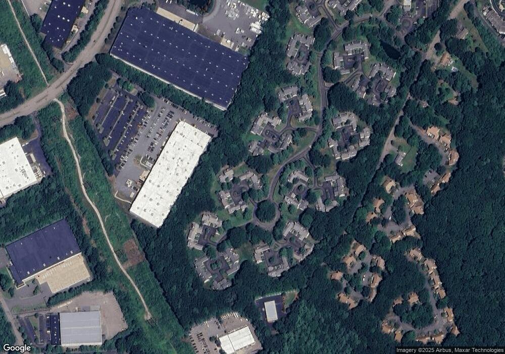
Map
Nearby Homes
- 109 Stone Ridge Rd Unit 109
- 151 Stone Ridge Rd
- 33 Stone Ridge Rd Unit 33
- 16 Danforth Way
- 605 Franklin Crossing Rd
- 214 Conlyn Ave
- 1805 Franklin Crossing Rd
- 2211 Franklin Crossing Rd Unit 2211
- 159 Highwood Dr
- 31 Highwood Dr
- 66 Highwood Dr
- 57 Raymond St Unit 2
- 6 Buena Vista Dr
- 97 Fisher St
- 208 Irondequoit Rd
- 1501 Old Bridge Ln Unit 1501
- 1303 Old Bridge Ln Unit 1303
- 1 Joy St
- 246 Washington St
- 120 Union St Unit 1
- 112 Stone Ridge Rd
- 113 Stone Ridge Rd
- 115 Stone Ridge Rd
- 116 Stone Ridge Rd
- 118 Stone Ridge Rd
- 119 Stone Ridge Rd
- 73 Stone Ridge Rd
- 74 Stone Ridge Rd
- 75 Stone Ridge Rd
- 74 Stone Ridge Rd Unit 74
- 75 Stone Ridge Rd Unit 75
- 74 Stone Ridge Rd Unit 74,74
- 120 Stone Ridge Rd
- 121 Stone Ridge Rd
- 122 Stone Ridge Rd
- 123 Stone Ridge Rd
- 124 Stone Ridge Rd
- 125 Stone Ridge Rd
- 124 Stone Ridge Rd Unit 124
- 120 Stone Ridge Rd Unit 1