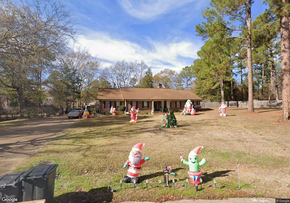
114 Sugar Maple Ln Madison, MS 39110
Estimated Value: $358,000 - $483,000
4
Beds
4
Baths
3,601
Sq Ft
$118/Sq Ft
Est. Value
About This Home
This home is located at 114 Sugar Maple Ln, Madison, MS 39110 and is currently estimated at $426,443, approximately $118 per square foot. 114 Sugar Maple Ln is a home located in Madison County with nearby schools including Madison Avenue Upper Elementary School, Madison Avenue Elementary, and Madison Middle School.
Ownership History
Date
Name
Owned For
Owner Type
Purchase Details
Closed on
Nov 30, 2010
Sold by
Serio Francis G and Serio Cheryl L
Bought by
Mayhan Anthony A and Mayhan Megan H
Current Estimated Value
Home Financials for this Owner
Home Financials are based on the most recent Mortgage that was taken out on this home.
Original Mortgage
$189,600
Outstanding Balance
$124,797
Interest Rate
4.3%
Mortgage Type
New Conventional
Estimated Equity
$301,646
Create a Home Valuation Report for This Property
The Home Valuation Report is an in-depth analysis detailing your home's value as well as a comparison with similar homes in the area
Home Values in the Area
Average Home Value in this Area
Purchase History
| Date | Buyer | Sale Price | Title Company |
|---|---|---|---|
| Mayhan Anthony A | -- | None Available |
Source: Public Records
Mortgage History
| Date | Status | Borrower | Loan Amount |
|---|---|---|---|
| Open | Mayhan Anthony A | $189,600 |
Source: Public Records
Tax History
| Year | Tax Paid | Tax Assessment Tax Assessment Total Assessment is a certain percentage of the fair market value that is determined by local assessors to be the total taxable value of land and additions on the property. | Land | Improvement |
|---|---|---|---|---|
| 2025 | $2,873 | $27,229 | $0 | $0 |
| 2024 | $2,873 | $27,229 | $0 | $0 |
| 2023 | $2,873 | $27,229 | $0 | $0 |
| 2022 | $2,873 | $27,229 | $0 | $0 |
| 2021 | $2,753 | $26,195 | $0 | $0 |
| 2020 | $2,741 | $26,096 | $0 | $0 |
| 2019 | $2,741 | $26,096 | $0 | $0 |
| 2018 | $2,741 | $26,096 | $0 | $0 |
| 2017 | $2,693 | $25,683 | $0 | $0 |
| 2016 | $2,576 | $24,683 | $0 | $0 |
| 2015 | $2,576 | $24,683 | $0 | $0 |
| 2014 | $2,564 | $24,576 | $0 | $0 |
Source: Public Records
Map
Nearby Homes
- 0 Chestnut Hill Unit 4126407
- 22 Chestnut Dr
- 237 Calumet Dr
- 0 Woodbridge Dr Unit 4124242
- 171 Cavanaugh Dr
- 204 Breezy Hill Dr
- 101 Honey Locust Ct
- 0 St Augustine Dr Unit 4129175
- 00 Saint Augustine Dr
- 0 Saint Augustine Dr
- 812 Norwich Dr
- 124 Trace Cove Dr
- 180 Wright's Mill Dr
- 214 Indian Pines Ln
- 100 Woodbury Park Place
- 120 Cedar Pine Ln
- 489 Cheyenne Ln
- 401 Kingsbridge Rd
- 6956 Old Canton Rd
- 1 Eastbrooke Cir
- 30 River Birch Cir
- 81 Sugar Maple Ln
- 113 Sugar Maple Ln
- 29 River Birch Cir
- 31 River Birch Cir
- 80 Redbud Ln
- 23 Redbud Ln
- 23 Longleaf Ln Unit 23
- 23 Longleaf Ln
- 83 Sugar Maple Ln
- 82 Sugar Maple Ln
- 112 Sugar Maple Ln
- 78 Redbud Ln
- 28 River Birch Cir
- 0 Chestnut Hill Unit 64 304870
- 0 Chestnut Dr Unit Lot 12 190770
- 0 Chestnut Dr Unit Lot 11 190769
- 0 Chestnut Dr Unit Lot 3 192729
- 0 Chestnut Dr Unit LOT 69 192592
- 0 Chestnut Dr Unit LOT 22 192591
Your Personal Tour Guide
Ask me questions while you tour the home.