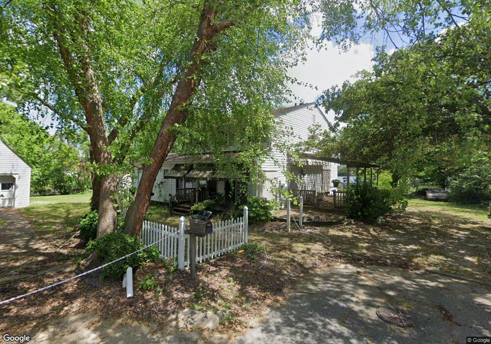
114 Whiting St Hampton, VA 23669
Victoria Boulevard Historic District NeighborhoodEstimated Value: $257,000 - $334,000
About This Home
This home is located at 114 Whiting St, Hampton, VA 23669 and is currently estimated at $310,115, approximately $173 per square foot. 114 Whiting St is a home located in Hampton City with nearby schools including Mary S. Peake Elementary School, C. Alton Lindsay Middle School, and Phoebus High School.
Ownership History
We collect this data history from publicly available records. To have your information removed, we recommend requesting removal directly through your county’s website.
Purchase Details
Purchase Details
Home Values in the Area
Average Home Value in this Area
Purchase History
We collect this data history from publicly available records. To have your information removed, we recommend requesting removal directly through your county’s website.
| Date | Buyer | Sale Price | Title Company |
|---|---|---|---|
| -- | None Listed On Document | ||
| $45,000 | -- |
Tax History
We collect this data history from publicly available records. To have your information removed, we recommend requesting removal directly through your county’s website.
| Year | Tax Paid | Tax Assessment Tax Assessment Total Assessment is a certain percentage of the fair market value that is determined by local assessors to be the total taxable value of land and additions on the property. | Land | Improvement |
|---|---|---|---|---|
| 2025 | $3,678 | $309,100 | $136,000 | $173,100 |
| 2024 | $3,096 | $269,200 | $127,500 | $141,700 |
| 2023 | $2,996 | $258,300 | $127,500 | $130,800 |
| 2022 | $2,817 | $238,700 | $119,000 | $119,700 |
| 2021 | $4,318 | $217,200 | $110,500 | $106,700 |
| 2020 | $2,429 | $195,900 | $68,400 | $127,500 |
| 2019 | $2,429 | $195,900 | $68,400 | $127,500 |
| 2018 | $2,523 | $195,900 | $68,400 | $127,500 |
| 2017 | $2,523 | $0 | $0 | $0 |
| 2016 | $2,523 | $195,900 | $0 | $0 |
| 2015 | $2,523 | $0 | $0 | $0 |
| 2014 | $2,641 | $195,900 | $68,400 | $127,500 |
Map
- 121 Whiting St
- 128 Whiting St
- 123 Whiting St
- 127 Whiting St
- 125 Whiting St
- 132 Whiting St
- 129 Whiting St
- 134 Whiting St
- 136 Whiting St
- 138 Meredith St
- 136 Meredith St
- 134 Meredith St
- 135 Whiting St
- 140 Meredith St
- 132 Meredith St
- 518 Settlers Landing Rd
- 524 Settlers Landing Rd
- 526 Settlers Landing Rd
- 148 Meredith St
- 530 Settlers Landing Rd
Ask me questions while you tour the home.