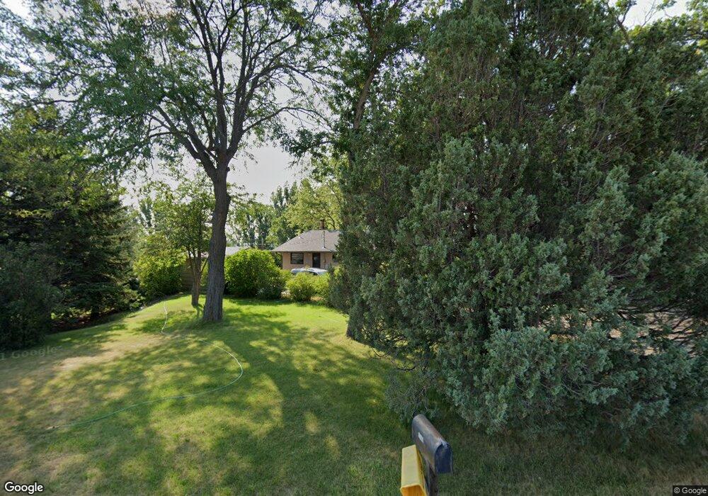
1140 Independent Ln Billings, MT 59105
Billings Heights NeighborhoodEstimated Value: $369,000 - $439,153
3
Beds
3
Baths
1,120
Sq Ft
$359/Sq Ft
Est. Value
About This Home
This home is located at 1140 Independent Ln, Billings, MT 59105 and is currently estimated at $401,788, approximately $358 per square foot. 1140 Independent Ln is a home located in Yellowstone County with nearby schools including Independent Elementary School, Castle Rock Junior High School, and Skyview High School.
Ownership History
Date
Name
Owned For
Owner Type
Purchase Details
Closed on
Mar 24, 2008
Sold by
Horton Anne M
Bought by
Mckell Marc A and Mckell Tamara L
Current Estimated Value
Home Financials for this Owner
Home Financials are based on the most recent Mortgage that was taken out on this home.
Original Mortgage
$115,000
Outstanding Balance
$71,297
Interest Rate
5.65%
Mortgage Type
Unknown
Estimated Equity
$330,491
Create a Home Valuation Report for This Property
The Home Valuation Report is an in-depth analysis detailing your home's value as well as a comparison with similar homes in the area
Home Values in the Area
Average Home Value in this Area
Purchase History
| Date | Buyer | Sale Price | Title Company |
|---|---|---|---|
| Mckell Marc A | -- | None Available |
Source: Public Records
Mortgage History
| Date | Status | Borrower | Loan Amount |
|---|---|---|---|
| Open | Mckell Marc A | $115,000 |
Source: Public Records
Tax History Compared to Growth
Tax History
| Year | Tax Paid | Tax Assessment Tax Assessment Total Assessment is a certain percentage of the fair market value that is determined by local assessors to be the total taxable value of land and additions on the property. | Land | Improvement |
|---|---|---|---|---|
| 2025 | $2,546 | $374,700 | $111,132 | $263,568 |
| 2024 | $2,546 | $338,100 | $95,221 | $242,879 |
| 2023 | $2,594 | $338,100 | $95,221 | $242,879 |
| 2022 | $1,854 | $256,700 | $0 | $0 |
| 2021 | $2,331 | $256,700 | $0 | $0 |
| 2020 | $1,884 | $222,400 | $0 | $0 |
| 2019 | $1,894 | $222,400 | $0 | $0 |
| 2018 | $2,126 | $232,900 | $0 | $0 |
| 2017 | $2,134 | $232,900 | $0 | $0 |
| 2016 | $1,901 | $220,600 | $0 | $0 |
| 2015 | $1,796 | $220,600 | $0 | $0 |
| 2014 | $1,629 | $101,389 | $0 | $0 |
Source: Public Records
Map
Nearby Homes
- 2933 Highway 312
- 1340 Redwing Cir
- TBD Longhorn Way
- 1449 Stallion Route
- 1402 Eugene Way
- 1376 W Eugene Ave
- 1358 W Eugene Ave
- 1359 W Eugene Ave
- 2695 Strapper Ln
- 2689 Strapper Ln
- 2683 Strapper Ln
- 2677 Strapper Ln
- 2665 Strapper Ln
- 2647 Strapper Ln
- 2694 Strapper Ln
- 2688 Strapper Ln
- 2682 Strapper Ln
- 2670 Strapper Ln
- 2664 Strapper Ln
- 2658 Strapper Ln
- 1138 Independent Ln
- 2933 Grelck Ln
- 1126 Independent Ln
- 2920 Grelck Ln
- 2921 Grelck Ln
- 3103 Conestoga Way
- 1222 Independent Ln
- 1106 Rose Dr
- 3111 Conestoga Way
- 2910 Grelck Ln
- 2909 Grelck Ln
- 1026 Independent Ln
- 1200 Independent Ln
- 3117 Conestoga Way
- 2915 Daisy Ln
- 3108 Conestoga Way
- 2905 Grelck Ln
- 1048 Independent Ln
- 2914 Daisy Ln
- 2819 Daisy Ln