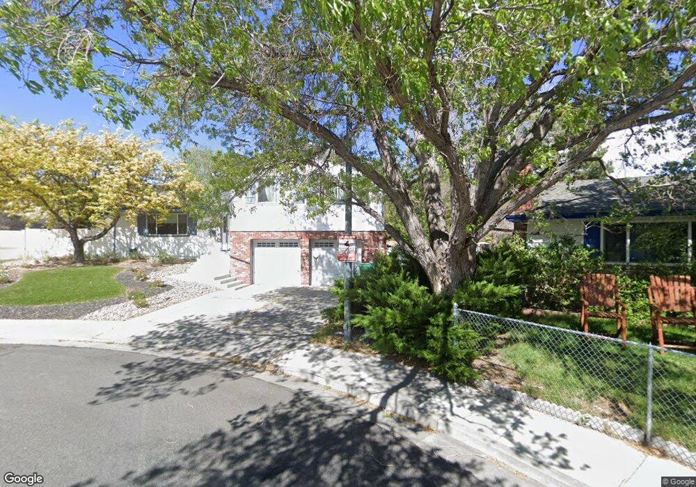
1140 Mission Cir Reno, NV 89503
Kings Row NeighborhoodEstimated Value: $499,000 - $603,000
3
Beds
3
Baths
2,354
Sq Ft
$240/Sq Ft
Est. Value
About This Home
This home is located at 1140 Mission Cir, Reno, NV 89503 and is currently estimated at $564,969, approximately $240 per square foot. 1140 Mission Cir is a home located in Washoe County with nearby schools including Elmcrest Elementary School, Archie Clayton Pre-AP Academy, and Robert McQueen High School.
Ownership History
Date
Name
Owned For
Owner Type
Purchase Details
Closed on
Oct 19, 2017
Sold by
Albrecht Bruce S
Bought by
Albrecht Michelle
Current Estimated Value
Purchase Details
Closed on
Sep 11, 2002
Sold by
Albrecht Michele
Bought by
Albrecht Bruce S
Home Financials for this Owner
Home Financials are based on the most recent Mortgage that was taken out on this home.
Original Mortgage
$171,000
Interest Rate
6.22%
Purchase Details
Closed on
Sep 17, 1999
Sold by
Albrecht Bruce S and Albrecht Michelle
Bought by
Albrecht Bruce S and Albrecht Michele
Purchase Details
Closed on
Sep 27, 1995
Sold by
Chastain Bonnie C
Bought by
Albrecht Bruce S and Albrecht Michele
Home Financials for this Owner
Home Financials are based on the most recent Mortgage that was taken out on this home.
Original Mortgage
$135,992
Interest Rate
7.97%
Mortgage Type
FHA
Create a Home Valuation Report for This Property
The Home Valuation Report is an in-depth analysis detailing your home's value as well as a comparison with similar homes in the area
Home Values in the Area
Average Home Value in this Area
Purchase History
| Date | Buyer | Sale Price | Title Company |
|---|---|---|---|
| Albrecht Michelle | $176,500 | First American Title Reno | |
| Albrecht Bruce S | -- | Stewart Title Northern Nevad | |
| Albrecht Bruce S | -- | Western Title Inc | |
| Albrecht Bruce S | $140,500 | First American Title Co |
Source: Public Records
Mortgage History
| Date | Status | Borrower | Loan Amount |
|---|---|---|---|
| Previous Owner | Albrecht Bruce S | $171,000 | |
| Previous Owner | Albrecht Bruce S | $135,992 |
Source: Public Records
Tax History Compared to Growth
Tax History
| Year | Tax Paid | Tax Assessment Tax Assessment Total Assessment is a certain percentage of the fair market value that is determined by local assessors to be the total taxable value of land and additions on the property. | Land | Improvement |
|---|---|---|---|---|
| 2025 | $2,040 | $82,643 | $41,785 | $40,858 |
| 2024 | $1,981 | $81,152 | $39,359 | $41,793 |
| 2023 | $1,981 | $81,448 | $41,160 | $40,288 |
| 2022 | $1,924 | $67,126 | $33,075 | $34,051 |
| 2021 | $1,868 | $56,710 | $22,307 | $34,403 |
| 2020 | $1,812 | $55,987 | $20,984 | $35,003 |
| 2019 | $1,759 | $55,660 | $21,315 | $34,345 |
| 2018 | $1,334 | $38,984 | $15,178 | $23,806 |
| 2017 | $2,181 | $38,004 | $13,561 | $24,443 |
| 2016 | $2,115 | $37,507 | $11,907 | $25,600 |
| 2015 | $1,685 | $36,605 | $10,106 | $26,499 |
| 2014 | $1,224 | $34,795 | $9,004 | $25,791 |
| 2013 | -- | $32,359 | $6,431 | $25,928 |
Source: Public Records
Map
Nearby Homes
- 880 Ruby Ave
- 2718 Powder Dr
- 2595 W 7th St
- 895 Stoker Ave
- 2260 W 6th St
- 2100 W 6th St
- 1855 Prince Way
- 1970 W 6th St
- 1670 Majestic Dr
- 1540 King Edward Dr
- 610 Akard Cir
- 1801 Carlin St
- 730 James Ct
- 1600 Majestic Dr
- 1785 Stardust St
- 3055 Slater Ct
- 1510 Majestic Dr Unit one
- 1845 Wesley Dr
- 1765 Harold Dr
- 670 Nancy Cir
- 1155 Mission Cir
- 1120 Mission Cir
- 1001 Crown Dr
- 1100 Mission Cir
- 1145 Mission Cir
- 1224 Saint Alberts Dr
- 1230 Saint Alberts Dr
- 2225 Elmcrest Dr
- 1125 Mission Cir
- 1220 Saint Alberts Dr
- 2198 Royal Dr
- 2195 Elmcrest Dr
- 1105 Mission Cir
- 1234 Saint Alberts Dr
- 1214 Saint Alberts Dr
- 1015 Crown Dr
- 2185 Elmcrest Dr
- 1150 Wyoming Ave
- 1170 Wyoming Ave
- 1120 Wyoming Ave