11401 Hidden Forest Trail Redding, CA 96001
Shasta NeighborhoodEstimated Value: $286,000 - $438,000
3
Beds
3
Baths
2,000
Sq Ft
$179/Sq Ft
Est. Value
About This Home
This home is located at 11401 Hidden Forest Trail, Redding, CA 96001 and is currently estimated at $358,119, approximately $179 per square foot. 11401 Hidden Forest Trail is a home located in Shasta County with nearby schools including Shasta Elementary School and Shasta High School.
Ownership History
Date
Name
Owned For
Owner Type
Purchase Details
Closed on
Jan 24, 2000
Sold by
Latten Wayne F and Latten Betsy A
Bought by
Kuntz William L and Bowie Laura E
Current Estimated Value
Home Financials for this Owner
Home Financials are based on the most recent Mortgage that was taken out on this home.
Original Mortgage
$90,000
Interest Rate
8.14%
Create a Home Valuation Report for This Property
The Home Valuation Report is an in-depth analysis detailing your home's value as well as a comparison with similar homes in the area
Home Values in the Area
Average Home Value in this Area
Purchase History
| Date | Buyer | Sale Price | Title Company |
|---|---|---|---|
| Kuntz William L | $155,000 | Fidelity National Title Co |
Source: Public Records
Mortgage History
| Date | Status | Borrower | Loan Amount |
|---|---|---|---|
| Closed | Kuntz William L | $90,000 |
Source: Public Records
Tax History Compared to Growth
Tax History
| Year | Tax Paid | Tax Assessment Tax Assessment Total Assessment is a certain percentage of the fair market value that is determined by local assessors to be the total taxable value of land and additions on the property. | Land | Improvement |
|---|---|---|---|---|
| 2025 | $2,592 | $256,278 | $69,151 | $187,127 |
| 2024 | $2,531 | $251,254 | $67,796 | $183,458 |
| 2023 | $2,531 | $246,328 | $66,467 | $179,861 |
| 2022 | $2,465 | $241,499 | $65,164 | $176,335 |
| 2021 | $2,413 | $236,765 | $63,887 | $172,878 |
| 2020 | $2,416 | $234,338 | $63,232 | $171,106 |
| 2019 | $2,351 | $229,744 | $61,993 | $167,751 |
| 2018 | $2,326 | $225,240 | $60,778 | $164,462 |
| 2017 | $2,298 | $220,825 | $59,587 | $161,238 |
| 2016 | $2,167 | $216,496 | $58,419 | $158,077 |
| 2015 | $2,134 | $213,245 | $57,542 | $155,703 |
| 2014 | $2,106 | $209,068 | $56,415 | $152,653 |
Source: Public Records
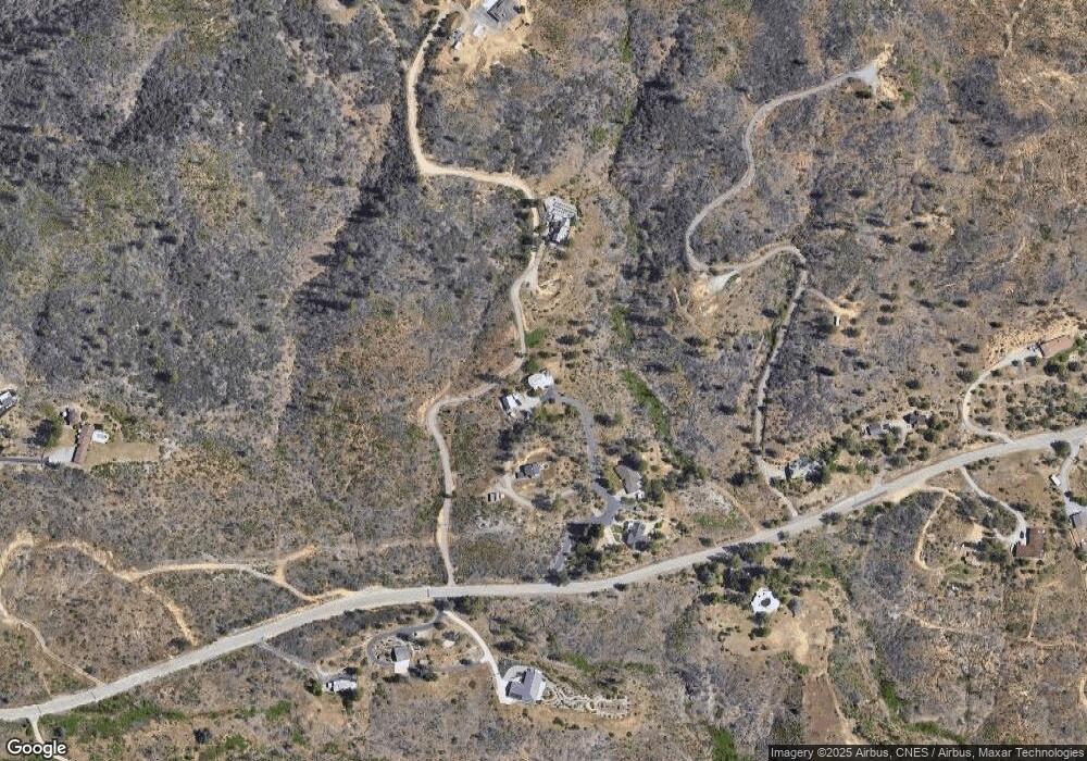
Map
Nearby Homes
- 27.71 Acres Vacant Land
- 11361 Tanstaafl Ln
- 11293 Dekkas Pom Ct
- 15274 Stoney Terrace Way
- 15388 Shadow Mountain Ln
- 16266 Gold Pan Way
- 10789 Beehive Rd
- 11028 Wingfield Ln
- 16107 Cagle Ln
- 16166 Cagle Ln
- 10670 High St
- 0 High St
- 000 High St
- 15952 Highland Cir
- 15778 Highland Cir
- 15943 Highland Cir
- 15715 Highland Cir
- 15075 Brunswick Dr
- 10255 Carrousel Dr
- 11380 Puffin Way
- 11401 Hidden Forest Tr
- 11494 Gold Rush Rd
- 11494 11494 Gold Rush Rd
- 11377 Hidden Forest Trail
- 11433 Gold Rush Dr
- 11343 Hidden Forest Trail
- 11355 Hidden Forest Trail
- 0 Mining Claim Rd
- 15740 Rock Creek Rd
- 15740 Rock Creek Rd
- 15639 Rock Creek Rd
- 5.2 Acres Mining Claim
- 15703 Rock Creek Rd
- 0 Gold Rush Dr Unit 6-9289
- 0 Gold Rush Dr Unit 9-1797
- 15754 Rock Creek Rd
- 15735 Rock Creek Rd
- 15786 Rock Creek Rd
- 15759 Rock Creek Rd
- 15789 Rock Creek Rd