11402 390th St Menahga, MN 56464
Estimated Value: $569,000 - $785,000
3
Beds
3
Baths
3,000
Sq Ft
$235/Sq Ft
Est. Value
About This Home
This home is located at 11402 390th St, Menahga, MN 56464 and is currently estimated at $705,834, approximately $235 per square foot. 11402 390th St is a home located in Wadena County with nearby schools including Menahga Elementary School and Menahga High School.
Ownership History
Date
Name
Owned For
Owner Type
Purchase Details
Closed on
Sep 17, 2021
Sold by
Meech Richard and Meech Susan
Bought by
Blueberry Development Llc
Current Estimated Value
Purchase Details
Closed on
Feb 5, 2018
Sold by
Potlatch Minnesota Timberlands Llc
Bought by
Meech Richard and Meech Susan
Home Financials for this Owner
Home Financials are based on the most recent Mortgage that was taken out on this home.
Original Mortgage
$158,000
Interest Rate
3.95%
Mortgage Type
New Conventional
Purchase Details
Closed on
Aug 15, 2007
Sold by
Potlatch Forest Holdings Inc
Bought by
Wellman Margie A
Create a Home Valuation Report for This Property
The Home Valuation Report is an in-depth analysis detailing your home's value as well as a comparison with similar homes in the area
Home Values in the Area
Average Home Value in this Area
Purchase History
| Date | Buyer | Sale Price | Title Company |
|---|---|---|---|
| Blueberry Development Llc | $595,000 | None Available | |
| Meech Richard | $197,500 | First American Title | |
| Wellman Margie A | $700,000 | None Available | |
| -- | $595,000 | -- |
Source: Public Records
Mortgage History
| Date | Status | Borrower | Loan Amount |
|---|---|---|---|
| Previous Owner | Meech Richard | $158,000 |
Source: Public Records
Tax History Compared to Growth
Tax History
| Year | Tax Paid | Tax Assessment Tax Assessment Total Assessment is a certain percentage of the fair market value that is determined by local assessors to be the total taxable value of land and additions on the property. | Land | Improvement |
|---|---|---|---|---|
| 2025 | $6,418 | $834,300 | $457,200 | $377,100 |
| 2024 | $6,418 | $779,000 | $430,800 | $348,200 |
| 2023 | $6,646 | $665,500 | $344,100 | $321,400 |
| 2022 | $6,326 | $561,900 | $319,200 | $242,700 |
| 2021 | $8,212 | $420,700 | $217,900 | $202,800 |
| 2020 | $7,666 | $402,200 | $209,100 | $193,100 |
| 2019 | $2,104 | $386,000 | $204,200 | $181,800 |
| 2018 | $2,198 | $184,200 | $184,200 | $0 |
| 2017 | $255 | $174,100 | $174,100 | $0 |
| 2016 | $2,898 | $191,296 | $191,296 | $0 |
| 2015 | $2,720 | $0 | $0 | $0 |
| 2014 | -- | $0 | $0 | $0 |
Source: Public Records
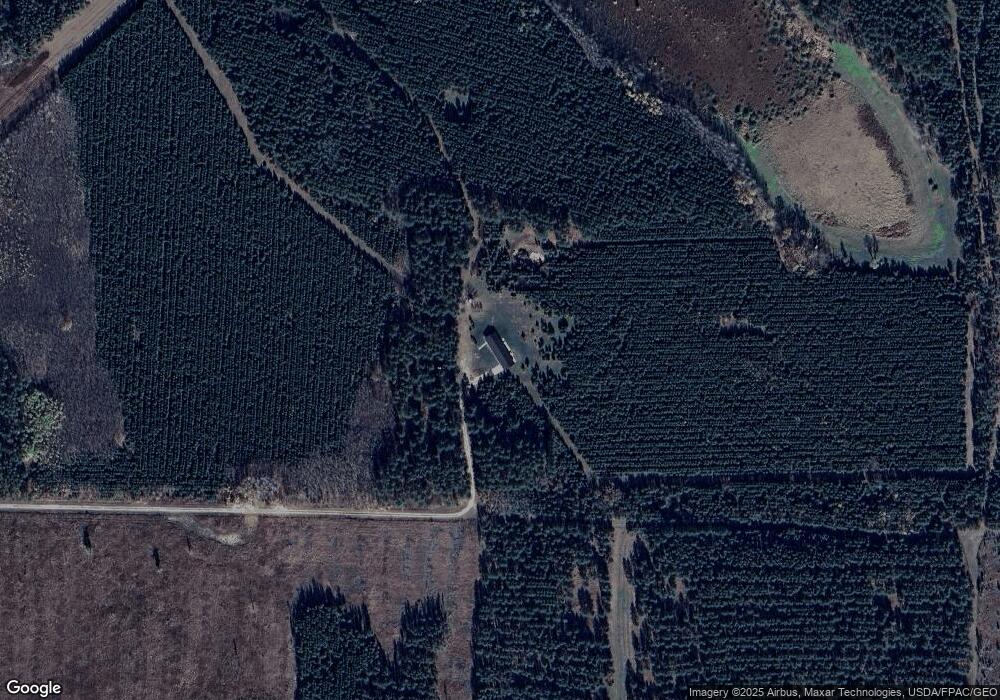
Map
Nearby Homes
- TBD Park Dr Unit 21
- 39589 Park Dr Unit 22
- 12245 Blueberry Loop
- 12343 Blueberry Loop
- 48100 110th St
- 38564 E Blueberry Dr
- 14413 Blueberry Bridge Rd
- 37237 Pine Cone Dr
- 222 Dogwood Ave NW
- 232 2nd St NW
- 37263 Pine Cone Dr
- 29 Fir Ave NW
- 44 Hickory Ave NW
- 715 4th Ln NW
- 317 2nd St NE
- 851 E Blueberry River Dr
- 20 Elm Ave NE
- 18 Cedar Ave SE
- 219 Main St NE
- 37095 Twin Lakes Rd
- E2SW&W2SE 109th Ave
- NWNE 109th Ave
- 39226 109th Ave
- NENW 109th Ave
- 0 390th St Unit 20-34013
- 0 390th St Unit 20-33753
- 39132 109th Ave
- 39216 109th Ave
- NWNW 109th Ave
- SENW 384th St
- SWNE 384th St
- 38620 109th Ave
- 11385 Hubbard Line Rd
- SENE 384th St
- 12075 Blueberry Loop Unit 28
- 39741 109th Ave
- 39791 109th Ave
- 12081 Blueberry Loop Unit 27
- SWNW 109th Ave & 384th St
- 10700 390th St