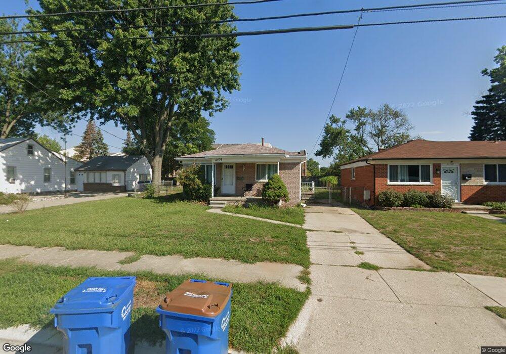
11409 Carrier Ave Warren, MI 48089
Southeast Warren NeighborhoodEstimated Value: $165,139 - $197,000
3
Beds
1
Bath
941
Sq Ft
$187/Sq Ft
Est. Value
About This Home
This home is located at 11409 Carrier Ave, Warren, MI 48089 and is currently estimated at $175,785, approximately $186 per square foot. 11409 Carrier Ave is a home located in Macomb County with nearby schools including May V. Peck Elementary School, Wolfe Middle School, and Center Line High School.
Ownership History
Date
Name
Owned For
Owner Type
Purchase Details
Closed on
Aug 8, 2013
Sold by
Giles Helen
Bought by
Orlando Daniel
Current Estimated Value
Purchase Details
Closed on
Jun 12, 2009
Sold by
Giles Helen
Bought by
Giles Helen
Purchase Details
Closed on
Mar 10, 2008
Sold by
Trott & Trott Pc
Bought by
Giles Bryan T
Purchase Details
Closed on
Oct 17, 2007
Sold by
Ocwen Loan Servicing Llc
Bought by
Federal National Mortgage Association
Purchase Details
Closed on
Feb 9, 2007
Sold by
Faner Helen M
Bought by
Ocwen Loan Servicing Llc and Csfb
Purchase Details
Closed on
Oct 5, 2001
Sold by
Belyk Lauri M
Bought by
Faner Helen
Purchase Details
Closed on
Oct 5, 1995
Sold by
Wartella P
Bought by
Belyk L
Create a Home Valuation Report for This Property
The Home Valuation Report is an in-depth analysis detailing your home's value as well as a comparison with similar homes in the area
Home Values in the Area
Average Home Value in this Area
Purchase History
| Date | Buyer | Sale Price | Title Company |
|---|---|---|---|
| Orlando Daniel | $25,000 | None Available | |
| Giles Helen | -- | None Available | |
| Giles Bryan T | $45,000 | Warranty Title Agency Llc | |
| Federal National Mortgage Association | -- | None Available | |
| Ocwen Loan Servicing Llc | $77,846 | None Available | |
| Faner Helen | $88,500 | -- | |
| Belyk L | $64,900 | -- |
Source: Public Records
Tax History Compared to Growth
Tax History
| Year | Tax Paid | Tax Assessment Tax Assessment Total Assessment is a certain percentage of the fair market value that is determined by local assessors to be the total taxable value of land and additions on the property. | Land | Improvement |
|---|---|---|---|---|
| 2025 | $2,007 | $65,410 | $0 | $0 |
| 2024 | $1,959 | $63,930 | $0 | $0 |
| 2023 | $2,046 | $62,730 | $0 | $0 |
| 2022 | $1,992 | $57,400 | $0 | $0 |
| 2021 | $1,948 | $47,960 | $0 | $0 |
| 2020 | $1,885 | $46,390 | $0 | $0 |
| 2019 | $1,819 | $46,150 | $0 | $0 |
| 2018 | $0 | $35,720 | $0 | $0 |
| 2017 | $1,668 | $31,830 | $4,310 | $27,520 |
| 2016 | $1,660 | $31,830 | $0 | $0 |
| 2015 | -- | $30,140 | $0 | $0 |
| 2013 | $1,811 | $25,590 | $0 | $0 |
Source: Public Records
Map
Nearby Homes
- 11620 Herbert Ave
- 11455 E 11 Mile Rd
- 11175 Sunburst Ave
- 25841 Gunston Ave
- 11245 Mae Ave
- 27125 Gilbert Dr
- 11085 Busch Ave
- 27300 Santa Ana Dr
- 11920 Carney St
- 11771 Harold St
- 27278 Shackett Ave
- 26443 Marilyn Ave
- 27260 Norma Dr
- 27074 Bonnie Dr
- 26608 Marilyn Ave
- 11657 Engleman Rd
- 12237 Champaign Ave
- 27480 Shackett Ave
- 11478 Engleman Rd
- 12291 E 11 Mile Rd
- 11393 Carrier Ave
- 11417 Carrier Ave Unit Bldg-Unit
- 11417 Carrier Ave
- 11377 Carrier Ave
- 26450 Falmouth Dr
- 11369 Carrier Ave
- 11364 Carrier Ave
- 26438 Falmouth Dr
- 11352 Carrier Ave
- 26426 Falmouth Dr
- 26429 Falmouth Dr
- 11345 Carrier Ave
- 11340 Carrier Ave
- 11337 Carrier Ave Unit Bldg-Unit
- 11337 Carrier Ave
- 26414 Falmouth Dr
- 26417 Falmouth Dr
- 11328 Carrier Ave
- 11347 Lois Ct
- 11329 Carrier Ave