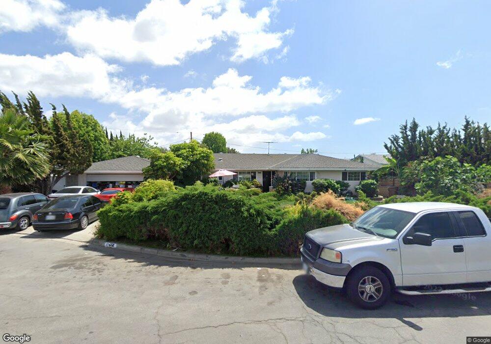
11422 Schrandt Dr Garden Grove, CA 92840
Estimated Value: $1,205,000 - $1,339,654
3
Beds
3
Baths
2,255
Sq Ft
$557/Sq Ft
Est. Value
About This Home
This home is located at 11422 Schrandt Dr, Garden Grove, CA 92840 and is currently estimated at $1,256,414, approximately $557 per square foot. 11422 Schrandt Dr is a home located in Orange County with nearby schools including Stanley Elementary School, Garden Grove High School, and St. Columban School.
Ownership History
Date
Name
Owned For
Owner Type
Purchase Details
Closed on
Jun 30, 2008
Sold by
Mcdonald Daniel and Koscheski Cheri
Bought by
Richmond Thomas
Current Estimated Value
Purchase Details
Closed on
Nov 2, 2006
Sold by
Mcdonald Chris
Bought by
Mcdonald Daniel
Home Financials for this Owner
Home Financials are based on the most recent Mortgage that was taken out on this home.
Original Mortgage
$350,000
Interest Rate
6.3%
Mortgage Type
Purchase Money Mortgage
Purchase Details
Closed on
Nov 1, 2006
Sold by
Mayberg Stanley R and Mayberg Annabelle S
Bought by
Mcdonald Daniel and Koscheski Cheri
Home Financials for this Owner
Home Financials are based on the most recent Mortgage that was taken out on this home.
Original Mortgage
$350,000
Interest Rate
6.3%
Mortgage Type
Purchase Money Mortgage
Create a Home Valuation Report for This Property
The Home Valuation Report is an in-depth analysis detailing your home's value as well as a comparison with similar homes in the area
Home Values in the Area
Average Home Value in this Area
Purchase History
| Date | Buyer | Sale Price | Title Company |
|---|---|---|---|
| Richmond Thomas | $400,000 | Orange Coast Title | |
| Mcdonald Daniel | -- | Lawyers Title | |
| Mcdonald Daniel | $695,000 | Lawyers Title |
Source: Public Records
Mortgage History
| Date | Status | Borrower | Loan Amount |
|---|---|---|---|
| Previous Owner | Mcdonald Daniel | $350,000 |
Source: Public Records
Tax History Compared to Growth
Tax History
| Year | Tax Paid | Tax Assessment Tax Assessment Total Assessment is a certain percentage of the fair market value that is determined by local assessors to be the total taxable value of land and additions on the property. | Land | Improvement |
|---|---|---|---|---|
| 2025 | $6,835 | $515,097 | $307,548 | $207,549 |
| 2024 | $6,835 | $504,998 | $301,518 | $203,480 |
| 2023 | $6,326 | $495,097 | $295,606 | $199,491 |
| 2022 | $6,186 | $485,390 | $289,810 | $195,580 |
| 2021 | $6,485 | $475,873 | $284,127 | $191,746 |
| 2020 | $6,729 | $470,994 | $281,214 | $189,780 |
| 2019 | $5,945 | $461,759 | $275,700 | $186,059 |
| 2018 | $5,800 | $452,705 | $270,294 | $182,411 |
| 2017 | $5,740 | $443,829 | $264,994 | $178,835 |
| 2016 | $5,452 | $435,127 | $259,798 | $175,329 |
| 2015 | $5,381 | $428,591 | $255,895 | $172,696 |
| 2014 | $5,256 | $420,196 | $250,882 | $169,314 |
Source: Public Records
Map
Nearby Homes
- 11081 Iris Dr
- 11102 Avolencia Place
- 11252 Chapman Ave
- 12332 Euclid St
- 11841 Shetland Rd
- 11052 Peppertree Ln
- 12600 Euclid St Unit 19
- 12851 Newhope St
- 12662 Woodland Ln
- 12256 Lesley St
- 405 13181 Lampson
- 11731 Rose Dr
- 12555 Euclid St Unit 61
- 12555 Euclid St Unit 2
- 12555 Euclid St Unit 79
- 12555 S Euclid St Unit 32
- 12727 West St
- 12861 West St Unit 157
- 12861 West St Unit 100
- 10882 Chapman Ave
- 11412 Schrandt Dr
- 11442 Schrandt Dr
- 11411 Midwick Place
- 11421 Midwick Place
- 12342 Betty Ln
- 12331 Betty Ln
- 11392 Schrandt Dr
- 11391 Midwick Place
- 12332 Betty Ln
- 12332 Le Ann Dr
- 12351 9th St
- 11381 Midwick Place
- 12321 Betty Ln
- 12341 9th St
- 12312 Betty Ln
- 12312 Le Ann Dr
- 12331 9th St
- 12391 9th St
- 11422 Midwick Place
- 11361 Midwick Place