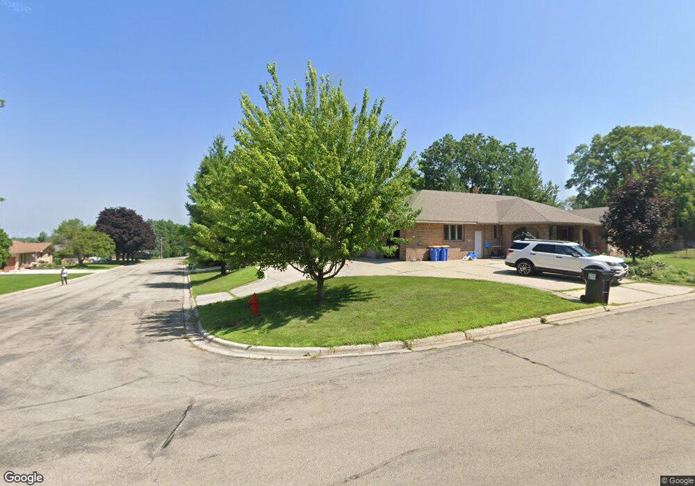
1143 Hawthorne Ave SW Owatonna, MN 55060
Estimated Value: $396,000 - $462,912
3
Beds
3
Baths
3,482
Sq Ft
$123/Sq Ft
Est. Value
About This Home
This home is located at 1143 Hawthorne Ave SW, Owatonna, MN 55060 and is currently estimated at $428,228, approximately $122 per square foot. 1143 Hawthorne Ave SW is a home located in Steele County with nearby schools including Wilson Elementary School, Owatonna Middle School, and Owatonna Senior High School.
Ownership History
Date
Name
Owned For
Owner Type
Purchase Details
Closed on
Oct 15, 2014
Sold by
Cole Stephen L and Cole Lynda R
Bought by
Stark Robert G and Stark Michael J
Current Estimated Value
Home Financials for this Owner
Home Financials are based on the most recent Mortgage that was taken out on this home.
Original Mortgage
$200,000
Outstanding Balance
$153,498
Interest Rate
4.13%
Mortgage Type
New Conventional
Estimated Equity
$274,730
Purchase Details
Closed on
Nov 10, 2006
Sold by
Partners
Bought by
Cole Stephen L and Cole Lynda R
Home Financials for this Owner
Home Financials are based on the most recent Mortgage that was taken out on this home.
Original Mortgage
$306,556
Interest Rate
6.25%
Mortgage Type
Adjustable Rate Mortgage/ARM
Create a Home Valuation Report for This Property
The Home Valuation Report is an in-depth analysis detailing your home's value as well as a comparison with similar homes in the area
Home Values in the Area
Average Home Value in this Area
Purchase History
| Date | Buyer | Sale Price | Title Company |
|---|---|---|---|
| Stark Robert G | $275,000 | -- | |
| Cole Stephen L | $383,196 | None Available |
Source: Public Records
Mortgage History
| Date | Status | Borrower | Loan Amount |
|---|---|---|---|
| Open | Stark Robert G | $200,000 | |
| Previous Owner | Cole Stephen L | $306,556 |
Source: Public Records
Tax History Compared to Growth
Tax History
| Year | Tax Paid | Tax Assessment Tax Assessment Total Assessment is a certain percentage of the fair market value that is determined by local assessors to be the total taxable value of land and additions on the property. | Land | Improvement |
|---|---|---|---|---|
| 2025 | $7,128 | $442,800 | $45,000 | $397,800 |
| 2024 | $6,444 | $478,500 | $36,400 | $442,100 |
| 2023 | $6,476 | $428,300 | $33,400 | $394,900 |
| 2022 | $5,790 | $407,600 | $31,700 | $375,900 |
| 2021 | $5,512 | $328,300 | $27,244 | $301,056 |
| 2020 | $5,566 | $309,778 | $27,244 | $282,534 |
| 2019 | $4,918 | $301,252 | $25,186 | $276,066 |
| 2018 | $4,758 | $284,690 | $23,128 | $261,562 |
| 2017 | $4,476 | $275,086 | $23,128 | $251,958 |
| 2016 | $4,036 | $261,660 | $23,128 | $238,532 |
| 2015 | -- | $0 | $0 | $0 |
| 2014 | -- | $0 | $0 | $0 |
Source: Public Records
Map
Nearby Homes
- 1138 Hawthorne Ave
- xxx Anderson Place
- 1132 Butternut Ave
- 349 13th St SW
- 919 Mosher Ave
- 318 13th St SW
- 1055 Robert Place SW
- 916 Linn Ave SW
- 228 13th St SW
- 222 W Mckinley St
- 1031 1031 Grandview Ave
- 1031 Grandview Ave
- 640 Lemond Rd
- 1047 S Oak Ave
- 540 Allan Ave
- 1801 Linn Dr
- 360 Thomas Ave
- 625 Linn Ave
- 1031 S Cedar Ave
- 819 819 S Cedar Ave
- 1143 Hawthorne Ave
- 414 W Holly St
- 1146 Lilac Ave
- 1152 Lilac Ave
- 1138 Lilac Ave
- 1146 Hawthorne Ave
- 445 W Mckinley St
- 1132 Lilac Ave
- 415 W Holly St
- 1132 Hawthorne Ave
- 501 W Holly St
- 431 W Mckinley St
- 1143 Ironwood Ave
- 520 W Holly St
- 1124 Hawthorne Ave
- 1124 Hawthorne Ave SW
- 1209 Liberty Dr SW
- 1139 Ironwood Ave
- 515 W Holly St
- 1230 Liberty Dr