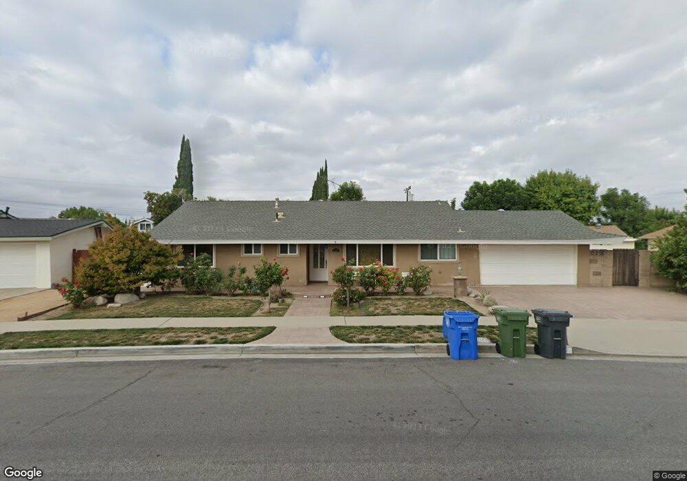
1147 Donner Ave Simi Valley, CA 93065
Central Simi Valley NeighborhoodEstimated Value: $734,956 - $780,000
3
Beds
2
Baths
1,534
Sq Ft
$496/Sq Ft
Est. Value
About This Home
This home is located at 1147 Donner Ave, Simi Valley, CA 93065 and is currently estimated at $760,239, approximately $495 per square foot. 1147 Donner Ave is a home located in Ventura County with nearby schools including Crestview Elementary School, Hillside Middle School, and Royal High School.
Ownership History
Date
Name
Owned For
Owner Type
Purchase Details
Closed on
Sep 15, 1997
Sold by
Jones Ruth M
Bought by
Powers David Green and Powers Leeanne Vinh Thi
Current Estimated Value
Home Financials for this Owner
Home Financials are based on the most recent Mortgage that was taken out on this home.
Original Mortgage
$144,000
Interest Rate
6.99%
Create a Home Valuation Report for This Property
The Home Valuation Report is an in-depth analysis detailing your home's value as well as a comparison with similar homes in the area
Home Values in the Area
Average Home Value in this Area
Purchase History
| Date | Buyer | Sale Price | Title Company |
|---|---|---|---|
| Powers David Green | $180,000 | Old Republic Title Company |
Source: Public Records
Mortgage History
| Date | Status | Borrower | Loan Amount |
|---|---|---|---|
| Closed | Powers David Green | $144,000 |
Source: Public Records
Tax History
| Year | Tax Paid | Tax Assessment Tax Assessment Total Assessment is a certain percentage of the fair market value that is determined by local assessors to be the total taxable value of land and additions on the property. | Land | Improvement |
|---|---|---|---|---|
| 2025 | $3,884 | $287,382 | $114,949 | $172,433 |
| 2024 | $3,884 | $281,748 | $112,696 | $169,052 |
| 2023 | $3,651 | $276,224 | $110,486 | $165,738 |
| 2022 | $3,618 | $270,808 | $108,319 | $162,489 |
| 2021 | $3,576 | $265,499 | $106,196 | $159,303 |
| 2020 | $3,491 | $262,778 | $105,108 | $157,670 |
| 2019 | $3,330 | $257,627 | $103,048 | $154,579 |
| 2018 | $3,292 | $252,577 | $101,028 | $151,549 |
| 2017 | $3,211 | $247,626 | $99,048 | $148,578 |
| 2016 | $3,064 | $242,771 | $97,106 | $145,665 |
| 2015 | $2,991 | $239,127 | $95,649 | $143,478 |
| 2014 | $2,864 | $234,444 | $93,776 | $140,668 |
Source: Public Records
Map
Nearby Homes
- 1091 Vallejo Ave
- 2025 Royal Ave
- 1917 Fitzgerald Rd
- 2136 Rosecrans St
- 1290 Lawrence Cir
- 969 Roldan Ave
- 1995 Covington Ave
- 1763 Kearney Ave
- 2044 Covington Ave
- 977 Gibson Ave
- 2095 Morley St
- 2098 Covington Ave
- 2267 Morley St
- 1573 Casarin Ave
- 1932 Heywood St Unit B
- 1904 Heywood St Unit L
- 896 Moffatt Cir
- 2407 Elizondo Ave
- 2490 Invar Ct
- 2339 Rudolph Dr
Your Personal Tour Guide
Ask me questions while you tour the home.