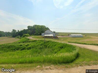
1147 Highway 67 Sabula, IA 52070
Estimated Value: $296,000 - $334,527
3
Beds
1
Bath
1,536
Sq Ft
$208/Sq Ft
Est. Value
About This Home
This home is located at 1147 Highway 67, Sabula, IA 52070 and is currently estimated at $320,176, approximately $208 per square foot. 1147 Highway 67 is a home located in Clinton County with nearby schools including Easton Valley Elementary School and Easton Valley Middle & High School.
Ownership History
Date
Name
Owned For
Owner Type
Purchase Details
Closed on
Feb 20, 2025
Sold by
Weber Travis A and Weber Jennifer L
Bought by
Ace Farms Llc
Current Estimated Value
Home Financials for this Owner
Home Financials are based on the most recent Mortgage that was taken out on this home.
Original Mortgage
$357,349
Outstanding Balance
$357,349
Interest Rate
6.76%
Mortgage Type
New Conventional
Estimated Equity
-$37,173
Create a Home Valuation Report for This Property
The Home Valuation Report is an in-depth analysis detailing your home's value as well as a comparison with similar homes in the area
Home Values in the Area
Average Home Value in this Area
Purchase History
| Date | Buyer | Sale Price | Title Company |
|---|---|---|---|
| Ace Farms Llc | -- | None Listed On Document | |
| Weber | -- | None Listed On Document |
Source: Public Records
Mortgage History
| Date | Status | Borrower | Loan Amount |
|---|---|---|---|
| Open | Ace Farms Llc | $357,349 | |
| Previous Owner | Weber Travis A | $400,000 |
Source: Public Records
Tax History Compared to Growth
Tax History
| Year | Tax Paid | Tax Assessment Tax Assessment Total Assessment is a certain percentage of the fair market value that is determined by local assessors to be the total taxable value of land and additions on the property. | Land | Improvement |
|---|---|---|---|---|
| 2024 | $2,590 | $195,340 | $27,180 | $168,160 |
| 2023 | $2,590 | $195,340 | $27,180 | $168,160 |
| 2022 | $2,536 | $175,160 | $21,370 | $153,790 |
| 2021 | $2,402 | $155,160 | $21,370 | $133,790 |
| 2020 | $2,402 | $151,450 | $22,610 | $128,840 |
| 2019 | $2,372 | $161,700 | $0 | $0 |
| 2018 | $2,104 | $124,480 | $0 | $0 |
| 2017 | $2,208 | $124,480 | $0 | $0 |
| 2016 | $2,194 | $162,300 | $0 | $0 |
| 2015 | $2,194 | $152,300 | $0 | $0 |
| 2014 | $1,992 | $152,300 | $0 | $0 |
| 2013 | $1,856 | $0 | $0 | $0 |
Source: Public Records
Map
Nearby Homes
- 1298 475th Ave
- 1295 475th Ave
- 4600 Riverview Rd
- 907 Broad St
- 816 Broad St
- 4828 Pheasant Dr
- 7379 Riverview Rd
- 707 Broad St
- 616 Elk St
- 207 Madison St
- Lot 3 Squire Cir
- Lot 1 Squire Cir
- Lot 20 Squire Cir
- 302 Bank St
- 512 Broad St
- 3638 Illinois Route 84
- 10462 Sandburr Ct
- 10290 One Mile Rd
- 4460 160th St
- TBD 607th Ave