1148 Murkat Way Missoula, MT 59803
Estimated Value: $863,000 - $906,295
3
Beds
2
Baths
1,758
Sq Ft
$501/Sq Ft
Est. Value
About This Home
This home is located at 1148 Murkat Way, Missoula, MT 59803 and is currently estimated at $880,765, approximately $501 per square foot. 1148 Murkat Way is a home with nearby schools including Lewis & Clark School, Washington Middle School, and Sentinel High School.
Ownership History
Date
Name
Owned For
Owner Type
Purchase Details
Closed on
Nov 27, 2024
Sold by
Catlin Kelly and Catlin Theresa
Bought by
Campbell Julie
Current Estimated Value
Home Financials for this Owner
Home Financials are based on the most recent Mortgage that was taken out on this home.
Original Mortgage
$520,000
Outstanding Balance
$515,627
Interest Rate
6.44%
Mortgage Type
New Conventional
Estimated Equity
$365,138
Purchase Details
Closed on
Dec 7, 2023
Sold by
Catlin Kelly and Catlin Theresa
Bought by
Catlin Kelly and Catlin Theresa
Home Financials for this Owner
Home Financials are based on the most recent Mortgage that was taken out on this home.
Original Mortgage
$127,000
Interest Rate
7.03%
Mortgage Type
New Conventional
Create a Home Valuation Report for This Property
The Home Valuation Report is an in-depth analysis detailing your home's value as well as a comparison with similar homes in the area
Home Values in the Area
Average Home Value in this Area
Purchase History
| Date | Buyer | Sale Price | Title Company |
|---|---|---|---|
| Campbell Julie | -- | Insured Title | |
| Campbell Julie | -- | Insured Title | |
| Catlin Kelly | -- | Insured Title |
Source: Public Records
Mortgage History
| Date | Status | Borrower | Loan Amount |
|---|---|---|---|
| Open | Campbell Julie | $520,000 | |
| Closed | Campbell Julie | $520,000 | |
| Previous Owner | Catlin Kelly | $127,000 |
Source: Public Records
Tax History Compared to Growth
Tax History
| Year | Tax Paid | Tax Assessment Tax Assessment Total Assessment is a certain percentage of the fair market value that is determined by local assessors to be the total taxable value of land and additions on the property. | Land | Improvement |
|---|---|---|---|---|
| 2025 | $4,596 | $662,200 | $239,860 | $422,340 |
| 2024 | $5,042 | $477,100 | $177,430 | $299,670 |
| 2023 | $4,477 | $477,100 | $177,430 | $299,670 |
| 2022 | $4,766 | $437,300 | $0 | $0 |
| 2021 | $4,760 | $437,300 | $0 | $0 |
| 2020 | $3,970 | $352,700 | $0 | $0 |
| 2019 | $3,961 | $352,700 | $0 | $0 |
| 2018 | $3,634 | $326,250 | $0 | $0 |
| 2017 | $3,263 | $326,250 | $0 | $0 |
| 2016 | $3,706 | $356,300 | $0 | $0 |
| 2015 | $3,412 | $356,300 | $0 | $0 |
| 2014 | $1,667 | $95,511 | $0 | $0 |
Source: Public Records
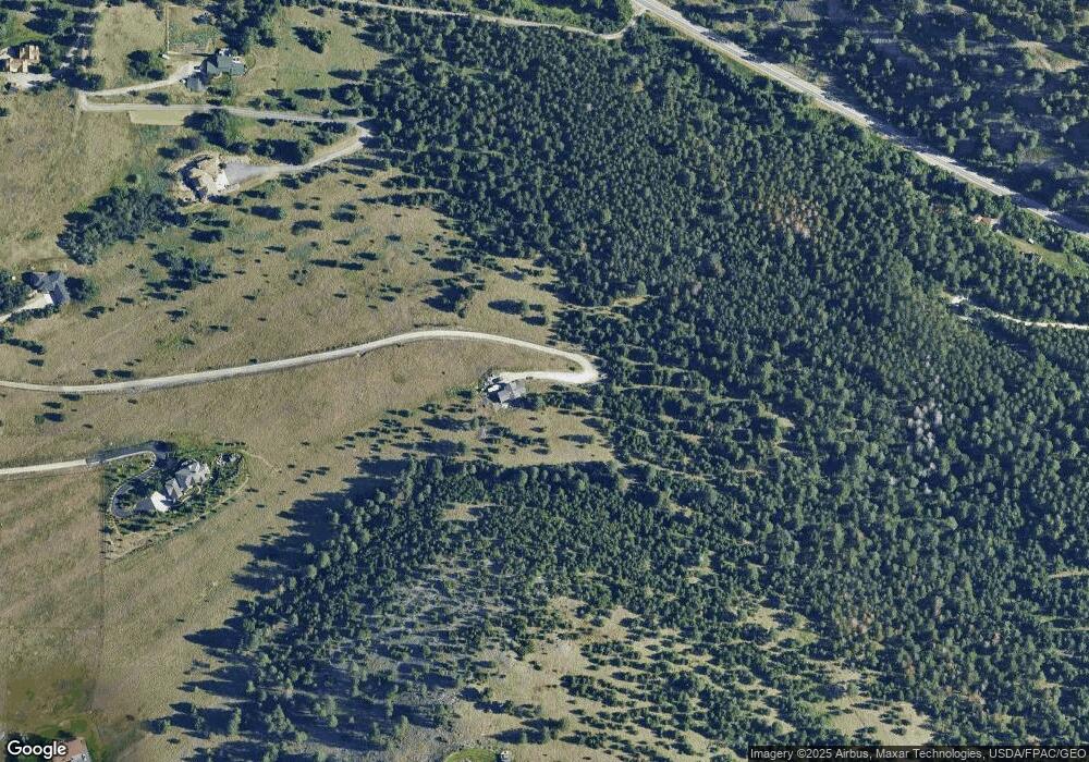
Map
Nearby Homes
- 901 Ben Hogan Dr
- 1133 Pacific Dr
- 410 Ben Hogan Dr
- 716 Spanish Peaks Dr
- 524 Spanish Peaks Dr
- 140 Fairway Dr
- 4830 Arnica Rd
- 230 Dean Stone Dr
- 500 Westview Dr
- 925 Parkview Way
- 1023 Whitaker Dr Unit A
- 110 Hillcrest Loop
- 100 Pattee Canyon Dr
- 200 Northview Dr
- 203 High Park Way
- 217 Dixon Ave
- Parcel 3B Snowshoe Ln
- 100 Simons Dr
- 802 Normans Ln
- 513 Dixon Ave
- 977 Ben Hogan Dr
- 1049 Pattee Canyon Rd
- 4840 Mosby Point Ln
- 1221 Pattee Canyon Rd
- 1005 Pattee Canyon Rd
- 875 Pattee Canyon Dr
- 800 Ben Hogan Dr
- 1199 Pacific Dr
- 689 Spanish Peaks Dr
- Tract 1 Sparrow Hills S
- 1035 Pattee Canyon Rd
- NHN Spanish Peaks Trail
- 697 Spanish Peaks Dr
- 619 Pattee Canyon Dr
- 1145 Pacific Dr
- 1450 Pattee Canyon Rd
- 615 Pattee Canyon Dr
- 605 Ben Hogan Dr
- 610 Ben Hogan Dr
- 1505 Pattee Canyon Rd