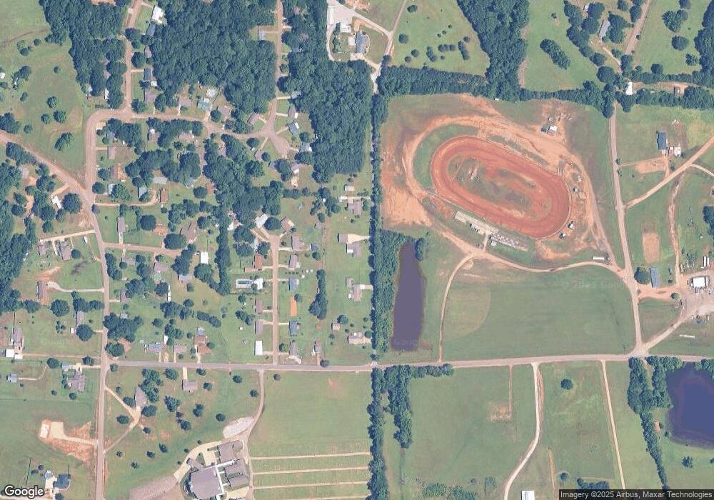
115 Bolton Dr Columbus, MS 39702
Estimated Value: $259,000 - $351,000
Studio
1
Bath
2,339
Sq Ft
$123/Sq Ft
Est. Value
About This Home
This home is located at 115 Bolton Dr, Columbus, MS 39702 and is currently estimated at $288,625, approximately $123 per square foot. 115 Bolton Dr is a home.
Ownership History
Date
Name
Owned For
Owner Type
Purchase Details
Closed on
Aug 10, 2020
Sold by
Turner Melissa A
Bought by
Duckworth Margie M
Current Estimated Value
Home Financials for this Owner
Home Financials are based on the most recent Mortgage that was taken out on this home.
Original Mortgage
$61,000
Outstanding Balance
$31,765
Interest Rate
3%
Mortgage Type
Stand Alone Refi Refinance Of Original Loan
Estimated Equity
$256,860
Purchase Details
Closed on
Jul 24, 2020
Sold by
Turner Melissa A
Bought by
Duckworth Margie M
Home Financials for this Owner
Home Financials are based on the most recent Mortgage that was taken out on this home.
Original Mortgage
$61,000
Outstanding Balance
$31,765
Interest Rate
3%
Mortgage Type
Stand Alone Refi Refinance Of Original Loan
Estimated Equity
$256,860
Create a Home Valuation Report for This Property
The Home Valuation Report is an in-depth analysis detailing your home's value as well as a comparison with similar homes in the area
Purchase History
| Date | Buyer | Sale Price | Title Company |
|---|---|---|---|
| Duckworth Margie M | -- | None Available | |
| Duckworth Margie M | -- | None Available |
Source: Public Records
Mortgage History
| Date | Status | Borrower | Loan Amount |
|---|---|---|---|
| Open | Duckworth Margie M | $61,000 | |
| Closed | Duckworth Margie M | $61,000 |
Source: Public Records
Tax History
| Year | Tax Paid | Tax Assessment Tax Assessment Total Assessment is a certain percentage of the fair market value that is determined by local assessors to be the total taxable value of land and additions on the property. | Land | Improvement |
|---|---|---|---|---|
| 2025 | $473 | $14,487 | $0 | $0 |
| 2024 | $469 | $14,487 | $0 | $0 |
| 2023 | $467 | $12,458 | $0 | $0 |
| 2022 | $468 | $12,458 | $0 | $0 |
| 2021 | $450 | $12,458 | $0 | $0 |
| 2020 | $436 | $12,458 | $0 | $0 |
| 2019 | $516 | $12,336 | $0 | $0 |
| 2018 | $516 | $13,193 | $0 | $0 |
| 2017 | $494 | $13,193 | $0 | $0 |
| 2016 | $494 | $13,193 | $0 | $0 |
| 2015 | $518 | $13,475 | $0 | $0 |
| 2014 | $518 | $13,475 | $0 | $0 |
Source: Public Records
Map
Nearby Homes
- 1495 Lee Stokes Rd
- 72 N Colby Ln
- 98 Alisha Ln
- 511 Belle Cir
- 1051 Tabernacle Rd
- 0 Gunshoot Rd
- 5236 Mississippi 50
- 2746 Phillips Hill Rd
- 127 E Cherry St
- 83 Bowling Green Cir
- 190 Tabernacle Rd
- 159 Lenox Ln
- 260 Nichols Bend
- 142 Lenox Ln
- 29 Lenox Ln
- 411 Fernbank Rd
- 3533 Sand Rd
- 0 Sand Rd
- 44 Grace Dr
- 432 Old Country Ln
