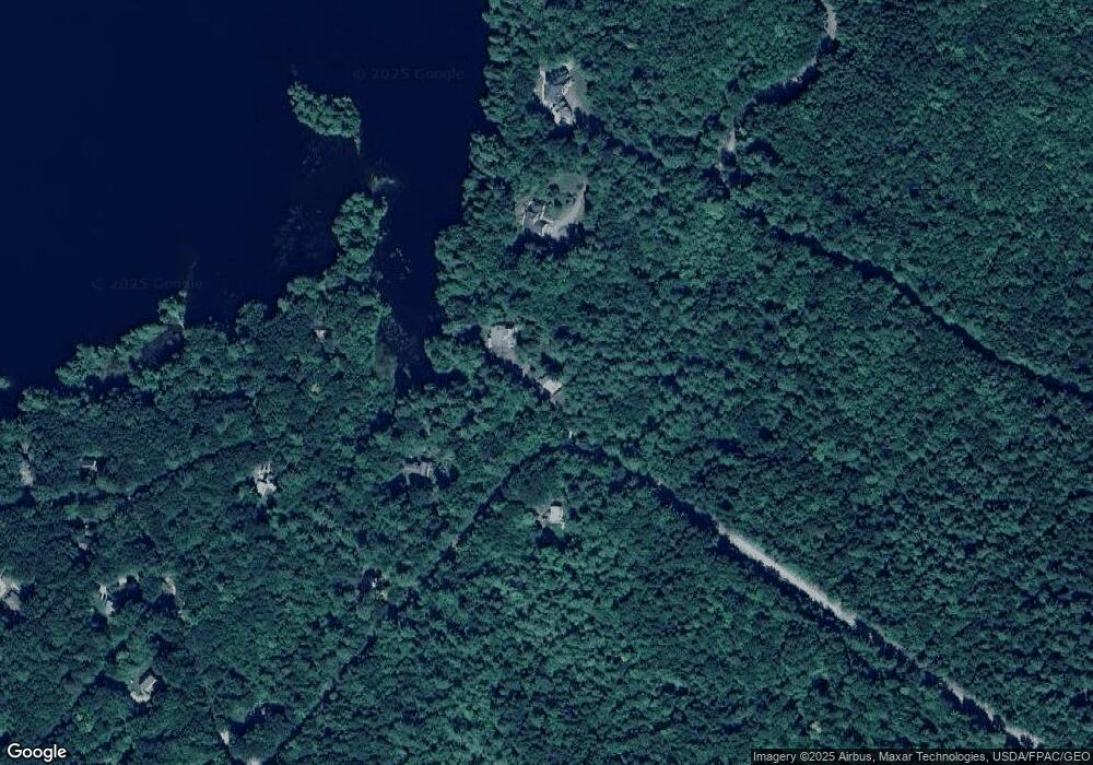
115 Deerfield Rd New Gloucester, ME 04260
Estimated Value: $726,114 - $983,000
3
Beds
3
Baths
2,723
Sq Ft
$312/Sq Ft
Est. Value
About This Home
This home is located at 115 Deerfield Rd, New Gloucester, ME 04260 and is currently estimated at $848,779, approximately $311 per square foot. 115 Deerfield Rd is a home located in Cumberland County with nearby schools including Gray-New Gloucester High School.
Ownership History
Date
Name
Owned For
Owner Type
Purchase Details
Closed on
Mar 4, 2008
Sold by
Webster Adam W and Czeech Dawn M
Bought by
Brakey Michael W and Brakey Lucinda P
Current Estimated Value
Home Financials for this Owner
Home Financials are based on the most recent Mortgage that was taken out on this home.
Original Mortgage
$296,000
Outstanding Balance
$183,307
Interest Rate
5.8%
Mortgage Type
Unknown
Estimated Equity
$665,472
Create a Home Valuation Report for This Property
The Home Valuation Report is an in-depth analysis detailing your home's value as well as a comparison with similar homes in the area
Home Values in the Area
Average Home Value in this Area
Purchase History
| Date | Buyer | Sale Price | Title Company |
|---|---|---|---|
| Brakey Michael W | -- | -- |
Source: Public Records
Mortgage History
| Date | Status | Borrower | Loan Amount |
|---|---|---|---|
| Open | Brakey Michael W | $296,000 |
Source: Public Records
Tax History Compared to Growth
Tax History
| Year | Tax Paid | Tax Assessment Tax Assessment Total Assessment is a certain percentage of the fair market value that is determined by local assessors to be the total taxable value of land and additions on the property. | Land | Improvement |
|---|---|---|---|---|
| 2025 | $7,577 | $489,766 | $209,133 | $280,633 |
| 2024 | $7,293 | $489,766 | $209,133 | $280,633 |
| 2023 | $6,999 | $489,766 | $209,133 | $280,633 |
| 2022 | $6,759 | $489,766 | $209,133 | $280,633 |
| 2021 | $6,759 | $489,766 | $209,133 | $280,633 |
| 2020 | $6,685 | $489,766 | $209,133 | $280,633 |
| 2019 | $6,045 | $357,700 | $108,800 | $248,900 |
| 2018 | $5,579 | $353,100 | $108,800 | $244,300 |
| 2017 | $5,508 | $353,100 | $108,800 | $244,300 |
| 2016 | $5,191 | $353,100 | $108,800 | $244,300 |
| 2015 | $5,128 | $350,000 | $108,800 | $241,200 |
| 2014 | $5,075 | $350,000 | $108,800 | $241,200 |
| 2013 | $4,708 | $350,000 | $108,800 | $241,200 |
Source: Public Records
Map
Nearby Homes
- 325 N Raymond Rd
- 26 Carpenter Rd
- 148 Spiller Hill Rd
- Lot 47D -C Hines Rd
- 46-47D Hines Rd & Main St
- 80 Spiller Hill Rd
- 192 Mountain Rd
- 53 Westview Dr
- 0 Mountain Rd
- 6 Justrite Way
- 27 Justrite Way
- 423 Sabbathday Rd
- Lot 46 Maine St
- Lot 47C-3 Maine St
- 4 Colonial Dr
- 14 Golden Way
- 161 Beaver Dam Dr
- 0 Lucys Dr
- 255 Raymond Hill Rd
- 0 Gladstone Dr Unit 1642697
- 127 Deerfield Rd
- 124 Deerfield Rd
- 106 Rossmore Ln
- 23 Pleasant Valley Cir
- 15 Pleasant Valley Cir
- 105 Rossmore Ln
- 27 Pleasant Valley Cir
- 8 Pleasant Valley Cir
- 14 Deerfield Rd
- 0 Mceachern Dr Unit 1032421
- 0 Pleasant Valley Cir
- 0 Deerfield Road Lot 14
- 14 Deerfield Dr
- 3 Mountain View Dr
- 56 Mountainview Dr
- 31 Mountain View Dr
- 32 Mountain View Dr
- 3 Timber Ln
- 4 Timber Ln
- 37 Mountain View Dr
