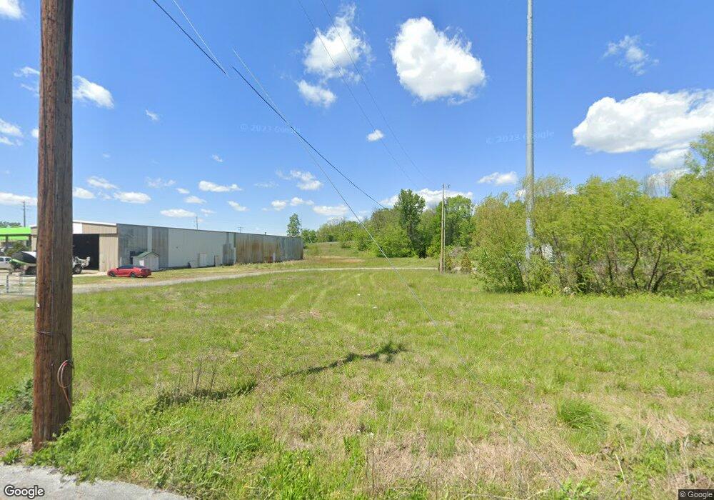
115 E Knight St Portland, TN 37148
--
Bed
1
Bath
2,000
Sq Ft
2.8
Acres
About This Home
This home is located at 115 E Knight St, Portland, TN 37148. 115 E Knight St is a home located in Sumner County with nearby schools including J.W. Wiseman Elementary School, Portland East Middle School, and Portland High School.
Ownership History
Date
Name
Owned For
Owner Type
Purchase Details
Closed on
Apr 3, 2024
Sold by
Brown Elijah Austin and Lancaster Samantha
Bought by
Revocable Trust Of Elijah Austin Brown and Brown
Purchase Details
Closed on
Aug 6, 2008
Sold by
Brown Phillip G and Brown Angela F
Bought by
The City Of Portland
Purchase Details
Closed on
Mar 24, 2006
Sold by
Jones Hubert Ray and Jones Virginia
Bought by
Brown Philip G and Brown Angela F
Home Financials for this Owner
Home Financials are based on the most recent Mortgage that was taken out on this home.
Original Mortgage
$190,161
Interest Rate
6.19%
Mortgage Type
Commercial
Create a Home Valuation Report for This Property
The Home Valuation Report is an in-depth analysis detailing your home's value as well as a comparison with similar homes in the area
Home Values in the Area
Average Home Value in this Area
Purchase History
| Date | Buyer | Sale Price | Title Company |
|---|---|---|---|
| Revocable Trust Of Elijah Austin Brown | -- | None Listed On Document | |
| The City Of Portland | -- | None Available | |
| Brown Philip G | $100,000 | Benchmark Title Company | |
| Brown Philip G | $85,000 | Benchmark Title Company |
Source: Public Records
Mortgage History
| Date | Status | Borrower | Loan Amount |
|---|---|---|---|
| Previous Owner | Brown Philip G | $190,161 |
Source: Public Records
Tax History Compared to Growth
Tax History
| Year | Tax Paid | Tax Assessment Tax Assessment Total Assessment is a certain percentage of the fair market value that is determined by local assessors to be the total taxable value of land and additions on the property. | Land | Improvement |
|---|---|---|---|---|
| 2024 | $902 | $63,480 | $3,160 | $60,320 |
| 2023 | $3,914 | $114,720 | $49,520 | $65,200 |
| 2022 | $3,811 | $114,720 | $49,520 | $65,200 |
| 2021 | $3,811 | $114,720 | $49,520 | $65,200 |
| 2020 | $3,811 | $114,720 | $49,520 | $65,200 |
| 2019 | $12,526 | $0 | $0 | $0 |
| 2018 | $5,643 | $0 | $0 | $0 |
| 2017 | $5,354 | $0 | $0 | $0 |
| 2016 | $5,354 | $0 | $0 | $0 |
| 2015 | -- | $0 | $0 | $0 |
| 2014 | -- | $0 | $0 | $0 |
Source: Public Records
Map
Nearby Homes
- 601 S Russell St
- 902 S Russell St
- 1100 S Russell St
- 300 S Russell St
- 208 S Russell St
- 1243 S Russell St
- 1237 S Russell St
- 99 Portland Blvd
- 202 Fowler Ford Rd
- 207 Strawberry St
- 208 Strawberry St
- Bradford Plan at Parkside Estates
- Andover Plan at Parkside Estates
- Davidson Plan at Parkside Estates
- Coleman Plan at Parkside Estates
- Aster Plan at Parkside Estates
- 216 Strawberry St
- 0 Academy Rd Unit RTC2999607
- 0 Academy Rd Unit RTC3042732
- 849 Parkside Blvd
- 117 E Knight St
- 516 S Broadway St
- 103 E Knight St
- 101B Wix Ave Unit 101A
- 506 S Broadway St
- 103B Wix Ave Unit 103A
- 105B Wix Ave Unit 105A
- 107 Wix Ave
- 114 Demase St
- 104 Wix Ave
- 115 Demase St
- 106 Wix Ave
- 112 Demase St
- 109 Wix Ave
- 111 Wix Ave
- 108 Wix Ave
- 113 Demase St
- 201 Wix Ave
- 110 Demase St
- 113 Hardy St