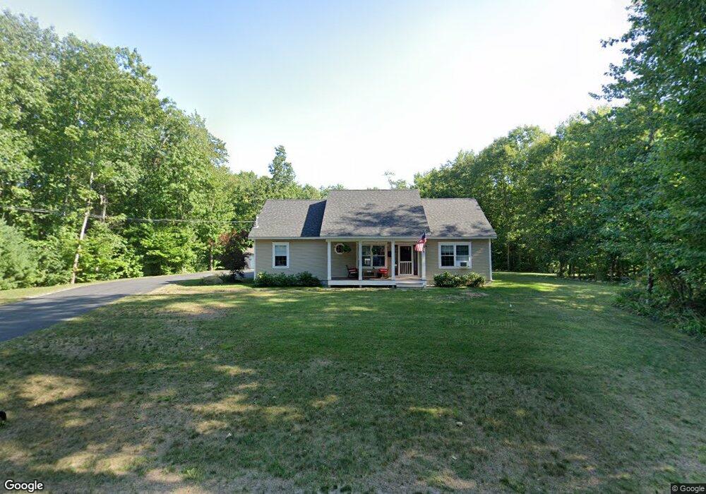
115 Grant Rd Saco, ME 04072
North Saco NeighborhoodEstimated Value: $578,000 - $705,000
3
Beds
2
Baths
1,456
Sq Ft
$435/Sq Ft
Est. Value
About This Home
This home is located at 115 Grant Rd, Saco, ME 04072 and is currently estimated at $633,311, approximately $434 per square foot. 115 Grant Rd is a home located in York County with nearby schools including C K Burns School and Saco Middle School.
Ownership History
Date
Name
Owned For
Owner Type
Purchase Details
Closed on
Oct 11, 2016
Sold by
Mezoian Development Ll
Bought by
Houde Joseph R and Houde Sonia M
Current Estimated Value
Home Financials for this Owner
Home Financials are based on the most recent Mortgage that was taken out on this home.
Original Mortgage
$175,000
Outstanding Balance
$139,404
Interest Rate
3.43%
Mortgage Type
New Conventional
Estimated Equity
$493,907
Create a Home Valuation Report for This Property
The Home Valuation Report is an in-depth analysis detailing your home's value as well as a comparison with similar homes in the area
Home Values in the Area
Average Home Value in this Area
Purchase History
| Date | Buyer | Sale Price | Title Company |
|---|---|---|---|
| Houde Joseph R | -- | -- | |
| Houde Joseph R | -- | -- | |
| Houde Joseph R | -- | -- |
Source: Public Records
Mortgage History
| Date | Status | Borrower | Loan Amount |
|---|---|---|---|
| Open | Houde Joseph R | $175,000 | |
| Closed | Houde Joseph R | $175,000 |
Source: Public Records
Tax History
| Year | Tax Paid | Tax Assessment Tax Assessment Total Assessment is a certain percentage of the fair market value that is determined by local assessors to be the total taxable value of land and additions on the property. | Land | Improvement |
|---|---|---|---|---|
| 2024 | $7,542 | $536,800 | $170,200 | $366,600 |
| 2023 | $7,918 | $536,800 | $170,200 | $366,600 |
| 2022 | $7,099 | $387,300 | $129,600 | $257,700 |
| 2021 | $6,842 | $362,400 | $115,600 | $246,800 |
| 2020 | $6,489 | $329,900 | $102,200 | $227,700 |
| 2019 | $6,393 | $329,900 | $102,200 | $227,700 |
| 2018 | $934 | $320,300 | $92,600 | $227,700 |
| 2017 | $5,516 | $310,600 | $85,600 | $225,000 |
| 2016 | $934 | $48,100 | $48,100 | $0 |
| 2015 | $886 | $46,100 | $46,100 | $0 |
| 2014 | $858 | $46,100 | $46,100 | $0 |
| 2013 | $857 | $46,100 | $46,100 | $0 |
Source: Public Records
Map
Nearby Homes
- 153 Mckenney Rd
- 181 Watson Mill Rd
- 130 Heath Rd
- 00 Miso Way
- 3 Trapper John Rd
- 70 Beech Plains Rd
- 0 Beech Plains Rd
- 158 Lord Rd
- 0 Simpson Rd
- Lot 1 & 2 Memory Ln
- 48 Tickle Way
- 69 Old Orchard Rd
- 4 Primrose Ln
- 281 Narragansett Trail
- 4 Lebanon Rd
- 430 Narragansett Trail
- 18 Eaton Dr
- 17 Johnson Farm Rd
- 9 Johnson Farm Rd
- 30 Joy Valley Rd
Your Personal Tour Guide
Ask me questions while you tour the home.